The Watchan Loop
 Hans Ostertag
left for contents
Widely considered the greatest “pure riding” loop near Chiang Mai, this challenging ride spans 300 km, with 250 km of mountain roads. It offers a variety of landscapes and cultural experiences, from lush jungles and pine forests to dry valleys and densely populated areas. Due to its length and difficulty, this loop is best split into two days with an overnight stay in Ban Watchan or Pai. Attempting this loop on a scooter in one day is not advisable.
Most of the ride is above 1,000 m above sea level (ASL), so proper riding gear is essential—particularly in December and January when it can get quite chilly.
Tags:
- Mountain Roads
- Viewpoints
- Nature
- Hill Tribe Area
Tour Details:
- Route (via Google Maps): 108 → 1269 → 1349 → 1265 → 1095 → 107
- Road Conditions: Mostly good asphalt roads with occasional potholes and broken concrete sections
- Distance: Approximately 300 km
- Driving Time (without stops): 7–8 hours
- Tour Map: Google Maps Link
Itinerary
Starting Point:
R108 junction outside the moat at Chiang Mai’s South Gate
Begin the ride by taking the southern leg of the Samoeng Loop to Yentafo Yok Lo in Samoeng, a great meeting point for fellow riders. This leg is approximately 45 km and takes about an hour. It’s important to leave early—between 8 AM and 9 AM is recommended—to avoid rushing as the ride is long and challenging.
Samoeng to Ban Watchan
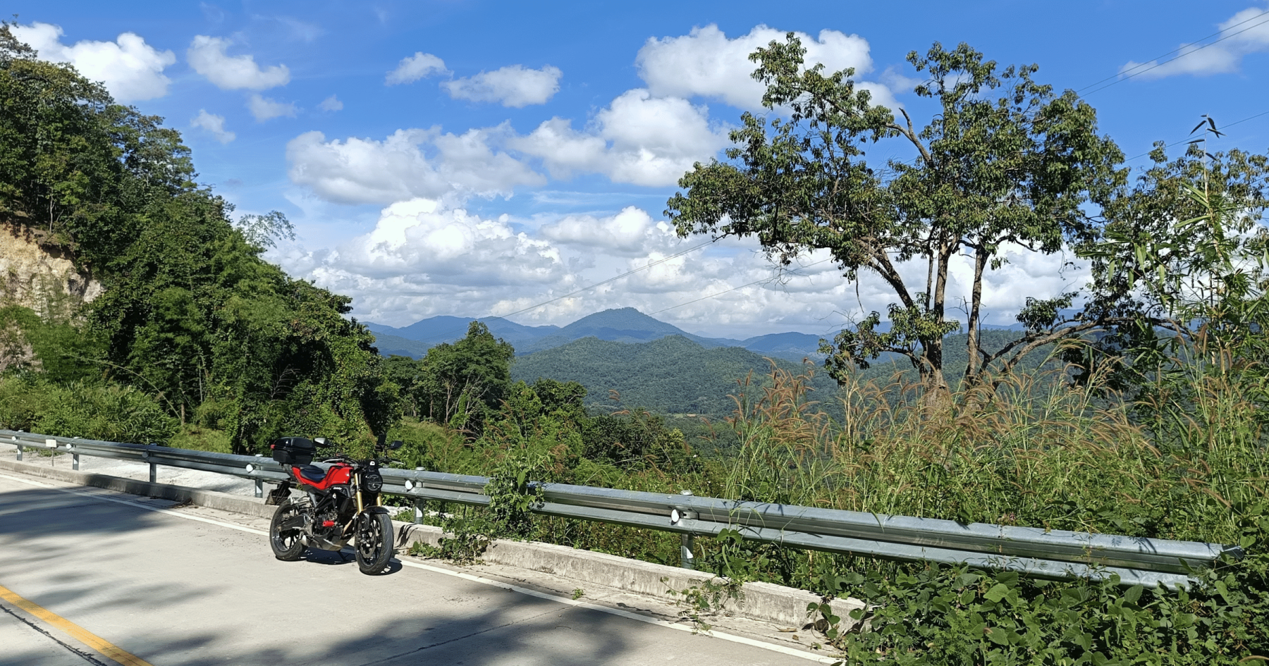
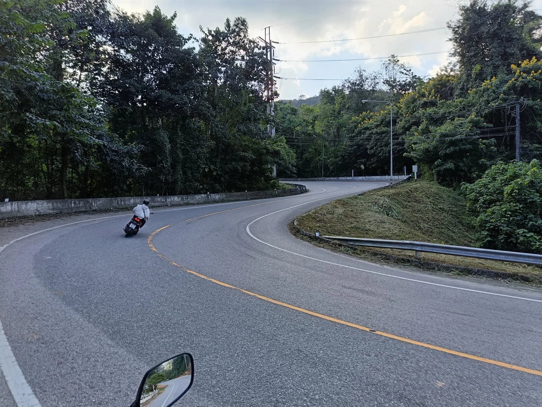
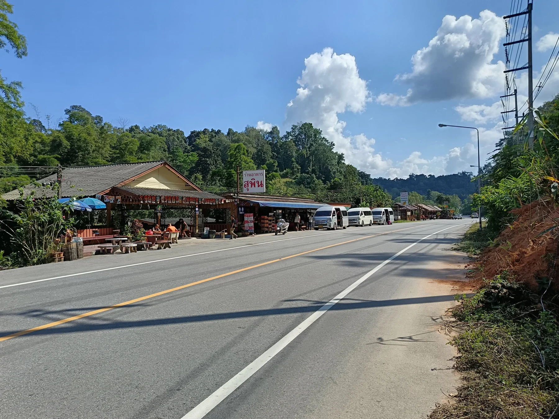
Leaving Samoeng, the road (R1349) quickly climbs to 1,000 m ASL, featuring smooth asphalt and thrilling twisties. After 25 km, you’ll reach the Karen village of Bokaeo, your last chance for decent coffee or food before Ban Watchan.
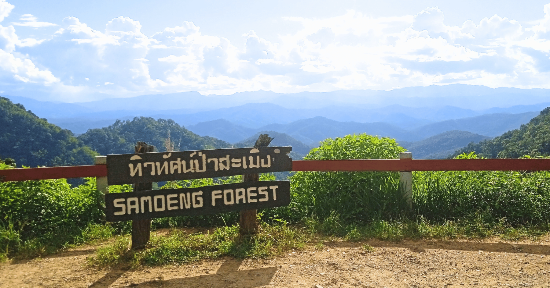
From Bokaeo, the road ascends further to Khun Khan National Park, reaching 1,500 m ASL, with a nice viewpoint along the way.
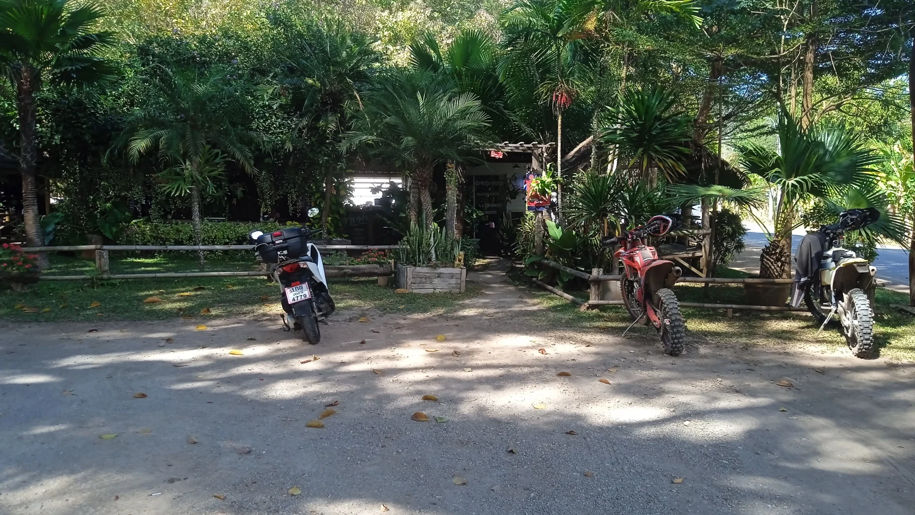
After another 25 km, you’ll pass through the Hmong village of Mae Ta Ra, where you’ll find a local gas station and motorbike repair shop.
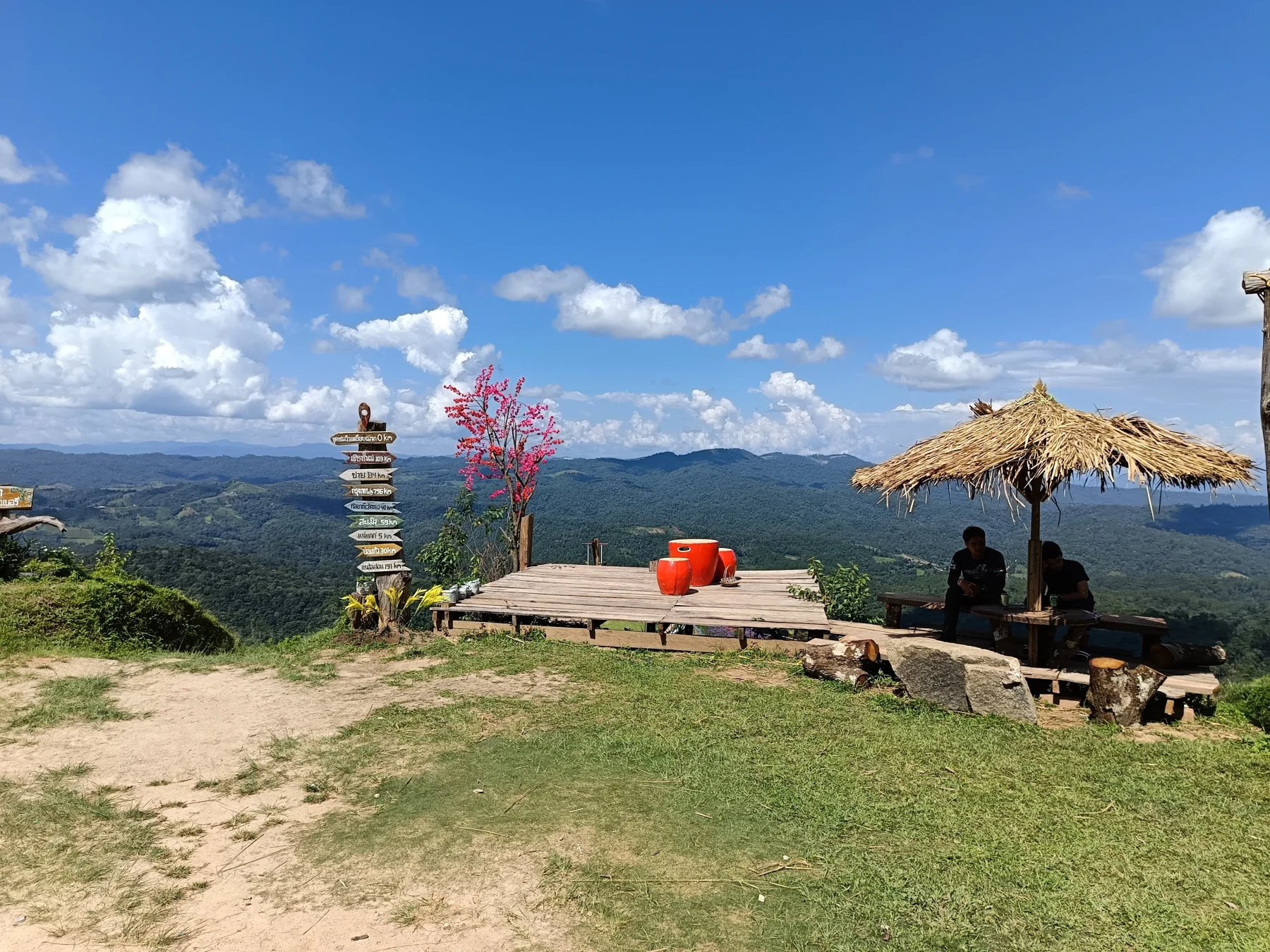
Key Stop: The “Above the Clouds” viewpoint, located 5 km past Mae Ta Ra. This spot offers panoramic 360° views and has a simple restaurant, a small shop, and bungalows available for rent (600 Baht/person per night).
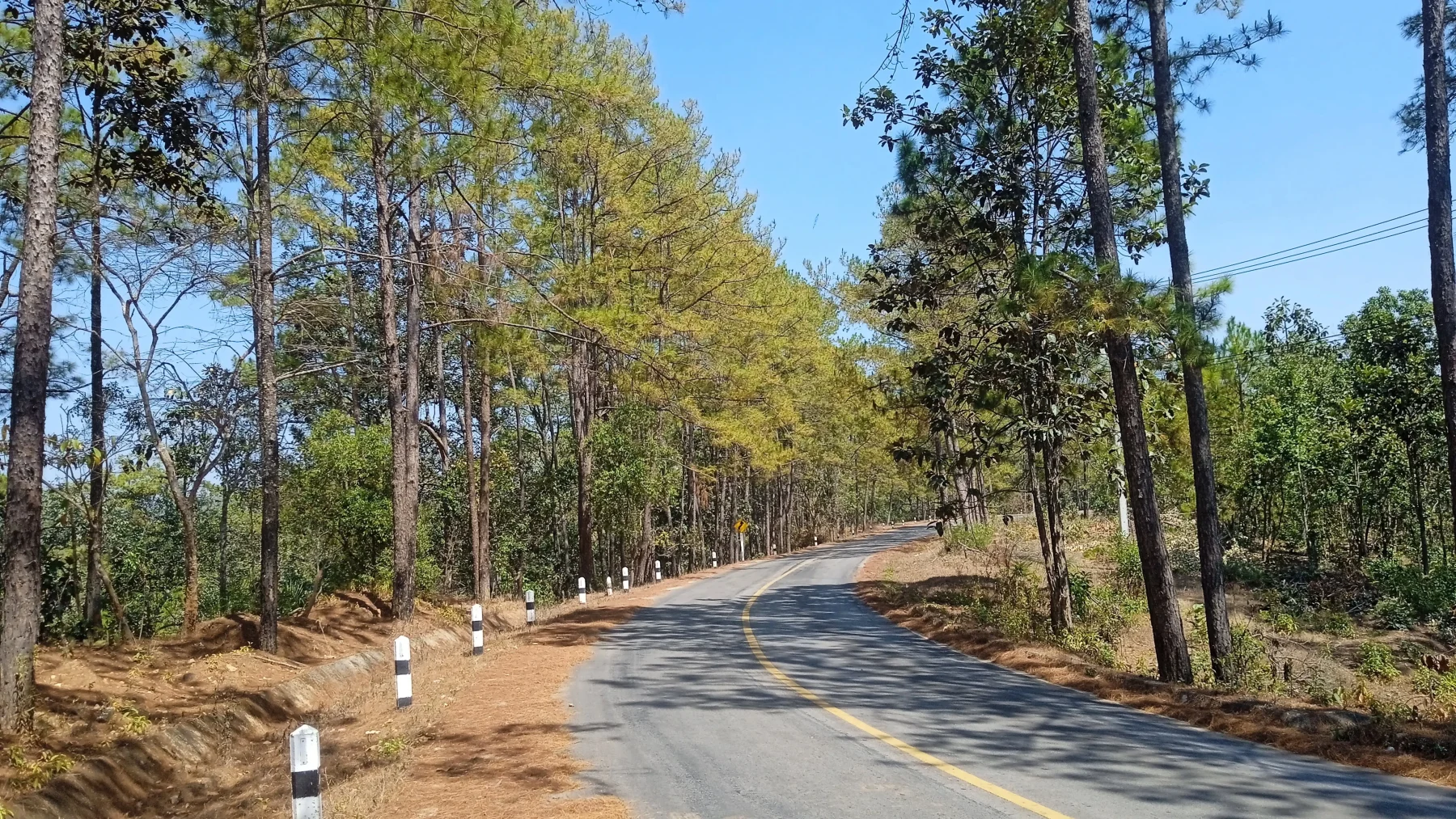
From there, the road descends briefly before another climb, leading to Ban Watchan, a Karen village at 1,000 m ASL surrounded by pine forests.
Ban Watchan has basic Thai restaurants, cafés, and a few homestays, including Dad Homestay, which is highly recommended for a rest or overnight stay.
Ban Watchan to R1095 (Pai-Mae Malai Road)
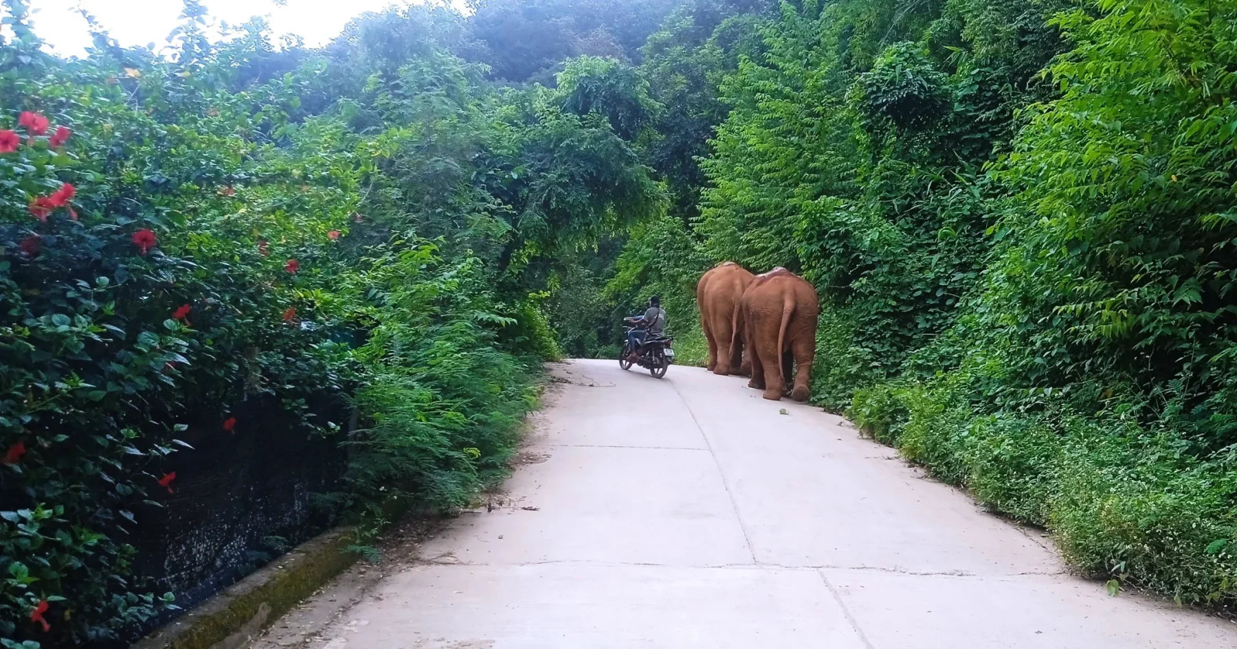
From Ban Watchan, turn right onto R1265. This well-maintained road climbs slightly before entering Mae Hong Son Province. It then descends 45 km through dense jungle to the R1095 road.
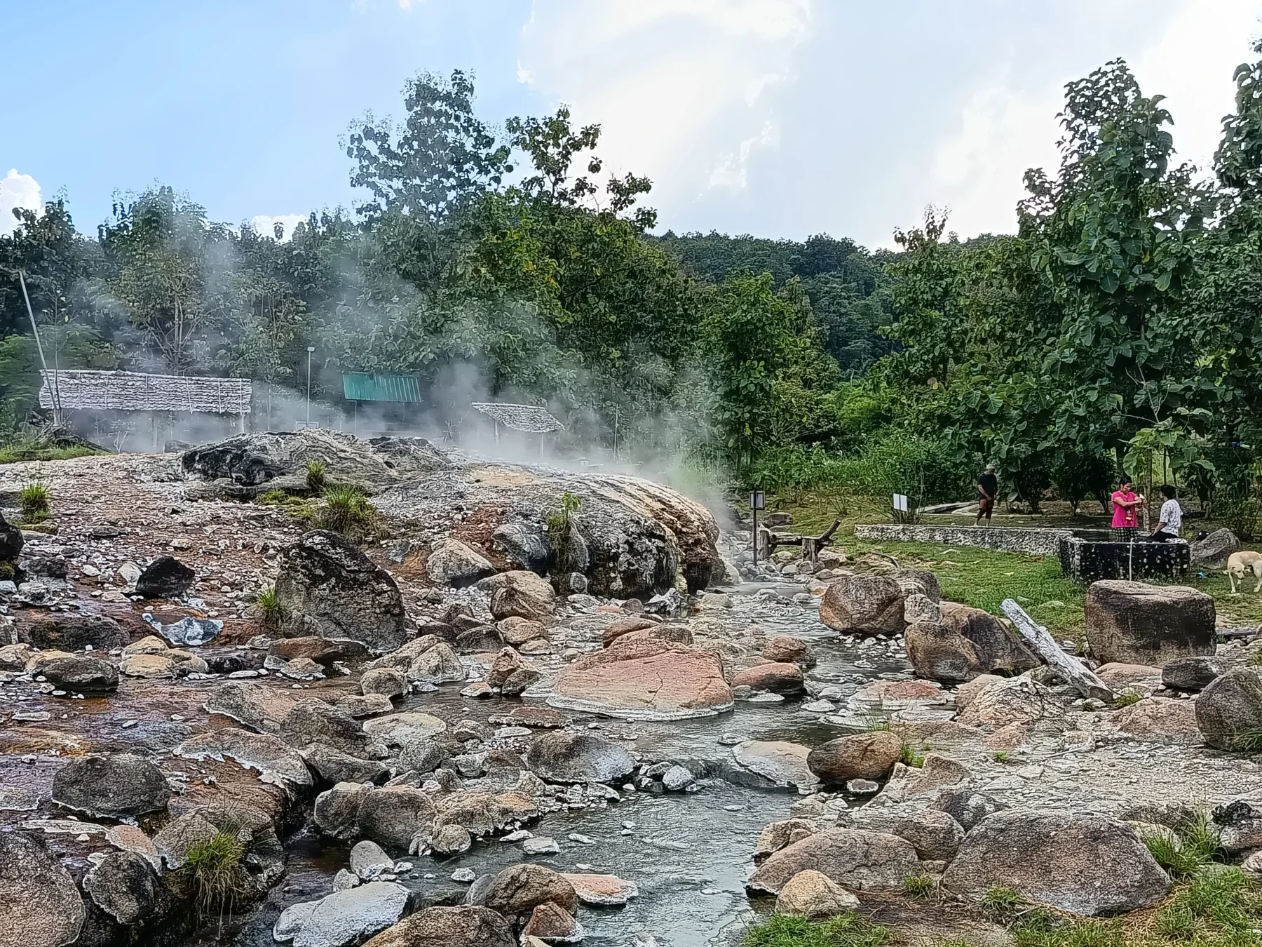
Optional Detour: Take a side trip to the Mueng Paeng Hot Springs, accessible via a narrow concrete road. You can return to R1265 via the scenic “Elephant Trail” along the Pai River.
At the R1265/R1095 junction, you have two options:
- Turn right to continue the loop back to Chiang Mai.
- Turn left to explore Pai, a popular tourist town.
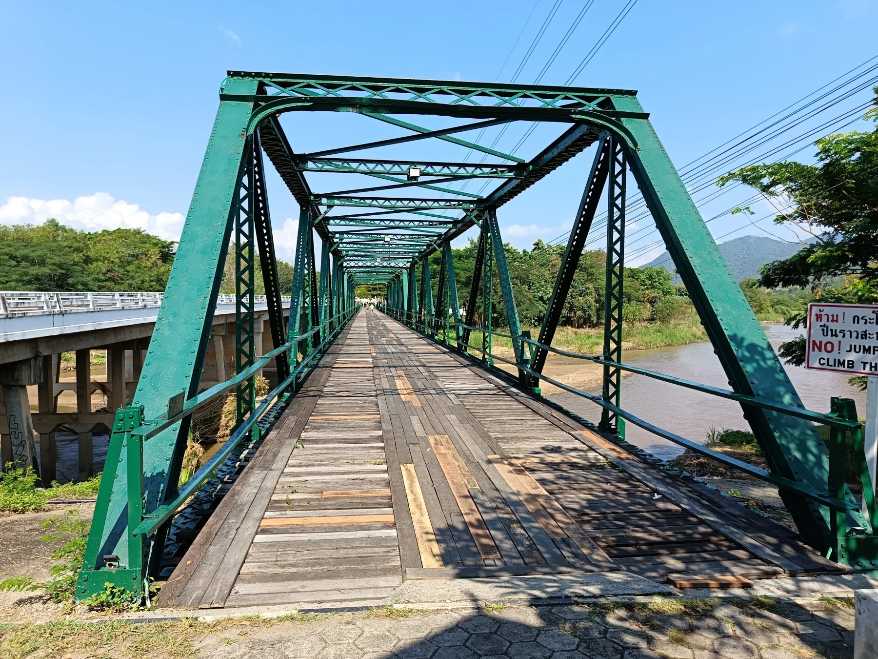
Optional Stop in Pai
Pai has a wide range of accommodations and attractions, though it’s no longer the tranquil retreat it once was. The town sees heavy tourism, particularly during peak season.
Recommended Accommodations in Pai:
- Mr. Jan’s Guesthouse: Affordable bungalows in a garden setting
- Family House @ Pai: Riverfront bungalows near the center
- Baantawan Guesthouse: Riverfront, slightly away from the busy areas
- Baanmai Konmuang: Also on the river north of the city center
- Pai Panalee: Quiet, upscale bungalows near the big Buddha
For a quieter alternative, consider staying 35 km beyond Pai in the Soppong Valley (Phang Mapha) at Cave Lodge, located near the Lod Cave.
Return Journey via R1095
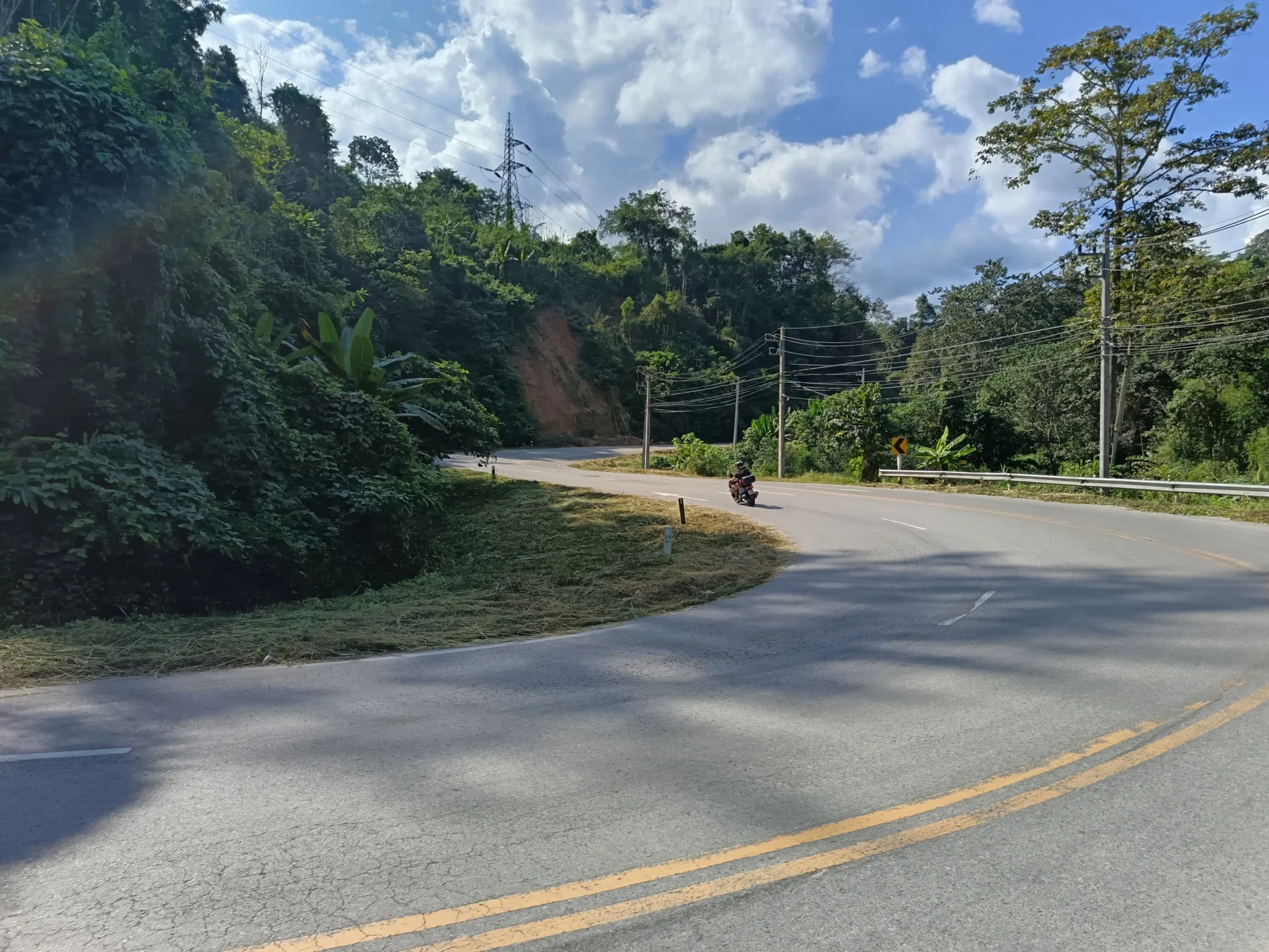
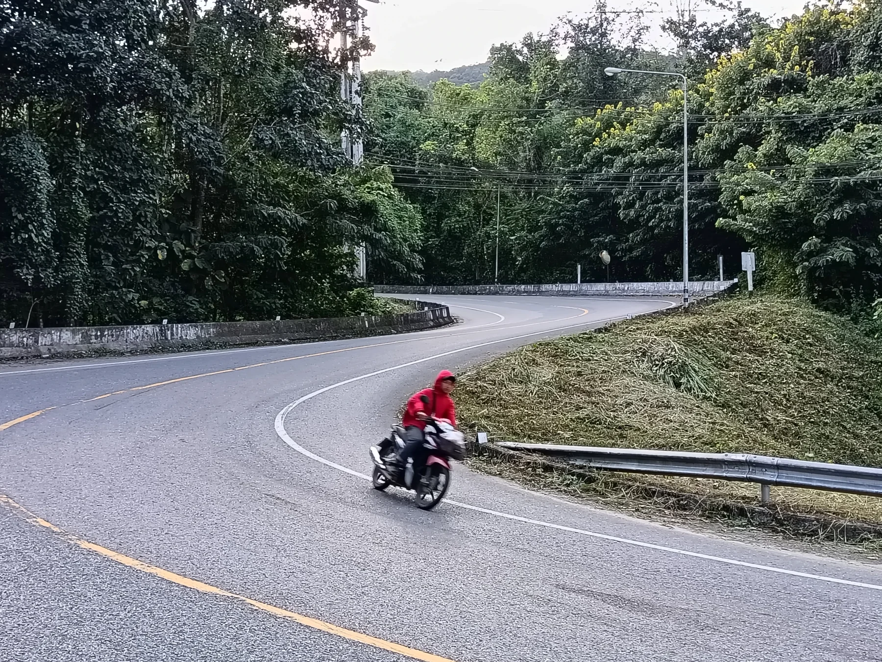
If completing the loop in one day, turn right onto R1095. This 100 km stretch to Mae Malai is part of the famous Mae Hong Son Loop and features 762 curves—perfect for experienced riders.
However, you’ll also encounter numerous minivans, which can be challenging to navigate around.
Key Stops Along R1095:
- Doi Mae Ya Pass: At 1,400 m ASL, this checkpoint marks the return to Chiang Mai Province.
- Huai Nam Dang National Park: Offers nice viewpoints but nothing unique compared to earlier stops.
- Kong Gnam Viewpoint: Scenic spot on the descent to Ban Mae Lao (700 m ASL).
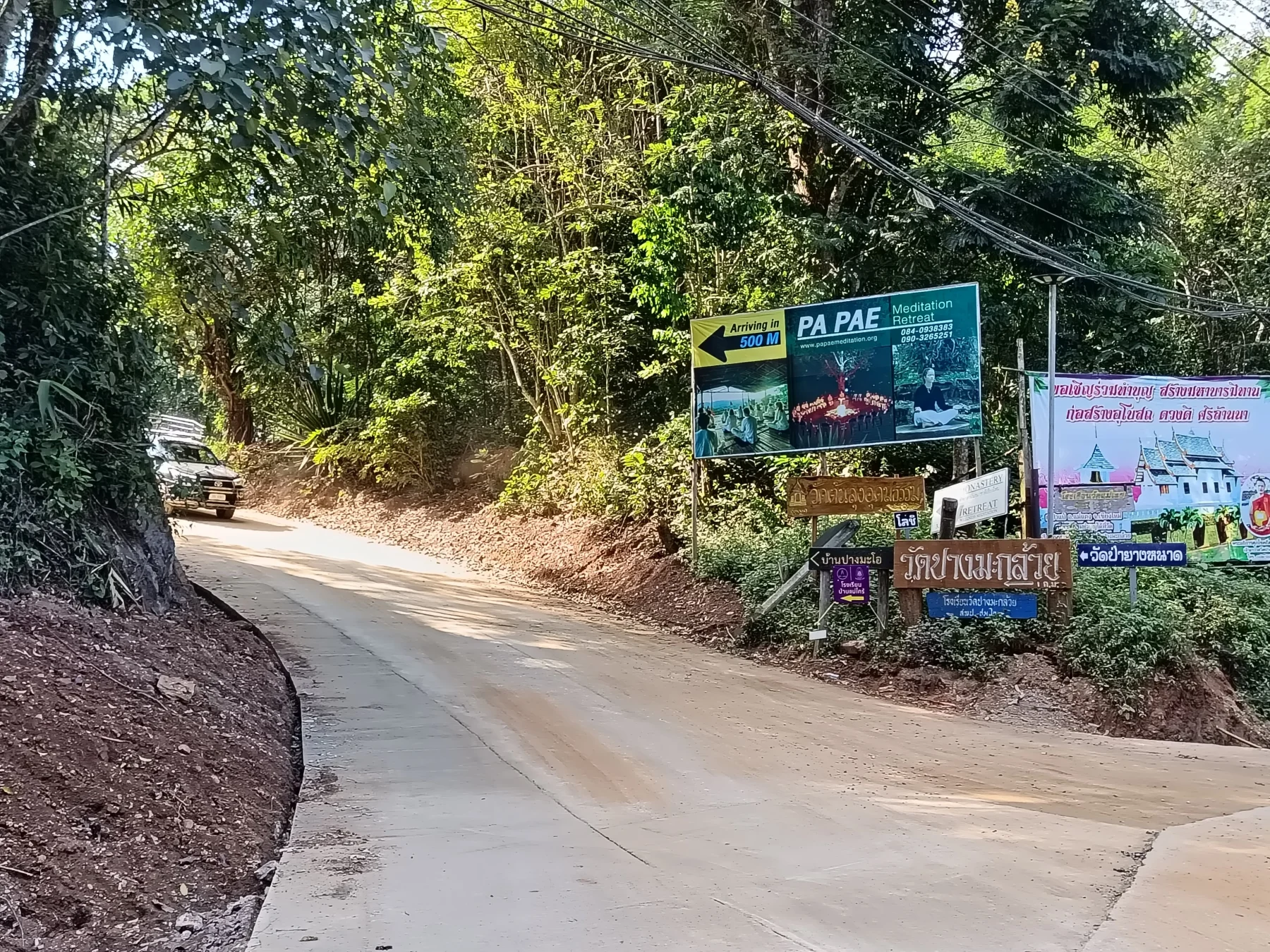
From Ban Mae Lao, the road ascends slightly for 15 km to Pa Pae, where you’ll find some restaurants and a meditation retreat.
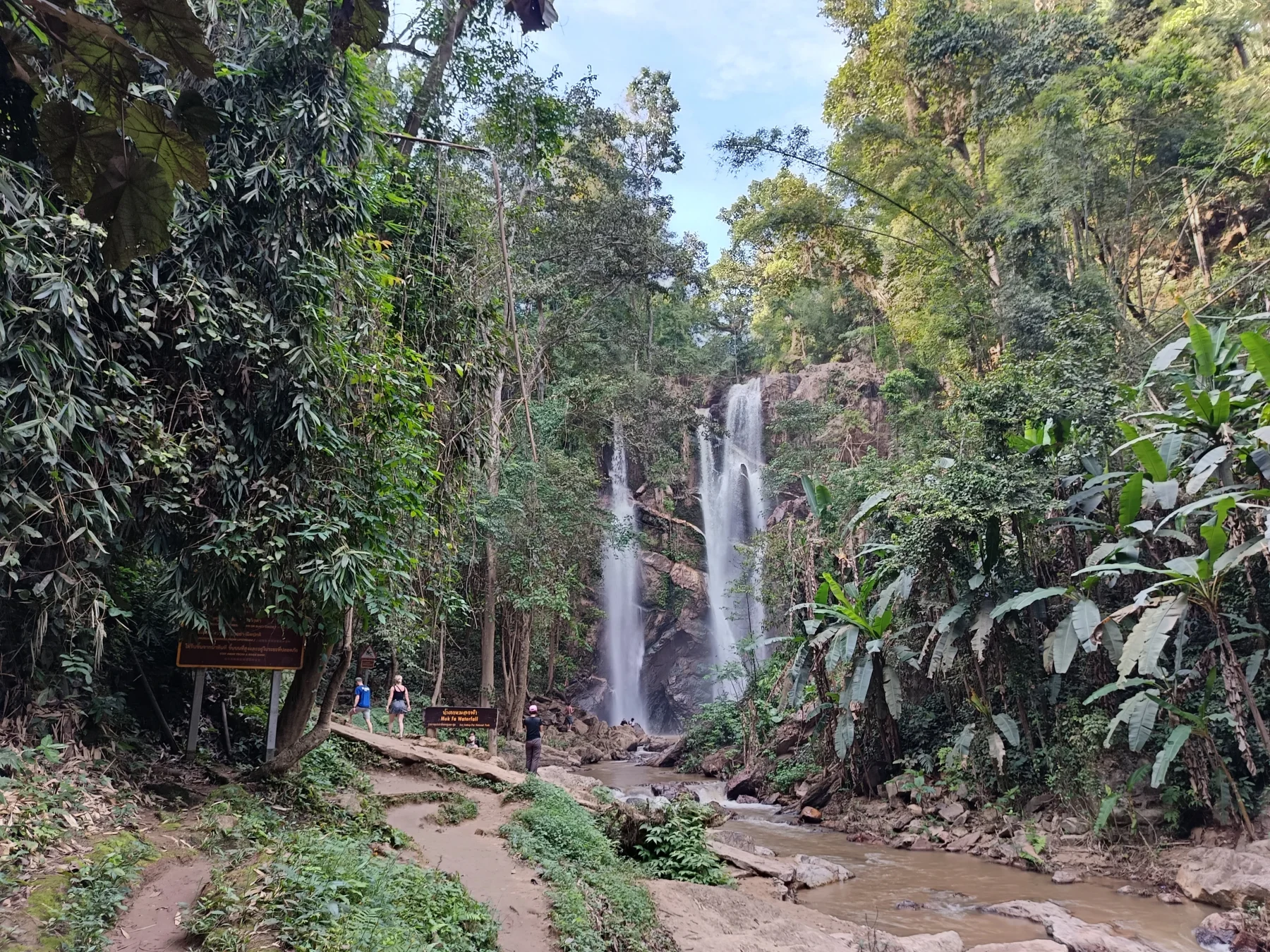
Mok Fa Waterfall: Located 10 km past Pa Pae, this is a worthwhile stop for its beautiful surroundings and tranquil atmosphere.
Final Leg to Chiang Mai
After Mok Fa Waterfall, civilization begins to reappear, marked by the first 7/11 after 10 km. At this point, you can either:
- Turn right onto R3009: A scenic “rice paddy road” for more curves and an extended ride.
- Continue straight on R1095: A faster route that connects to R107 at Mae Malai, leading back to Chiang Mai.
The final stretch from Mae Malai to Chiang Mai is approximately 45 km, and you can choose either R107 or R1001 for the return leg.
Summary
The Watchan Loop is a thrilling ride through diverse landscapes, perfect for experienced motorcyclists. Its challenging roads, breathtaking viewpoints, and cultural highlights make it one of the most rewarding loops from Chiang Mai.