
The Tung Ting Loop
 Hans Ostertag
left for contents
This extended Samoeng Loop takes you near the hill tribe areas between Tung Ting and Pa Pae (see The Samoeng-Pa Pae Loop). With good asphalt and concrete roads, minimal traffic, and friendly locals who don’t encounter many foreign visitors, it offers an easy and pleasant ride. This route lacks steep ascents or descents and doesn’t feature typical tourist attractions, making it ideal for enjoying the natural beauty and the hospitality of rural northern Thailand.
Tags:
- Mountain Roads
- Nature
- Backroad
- Viewpoints
- Non-Touristic
Tour Data:
- Route Numbers (per Google Maps): 1269 – 1349 – 4021 (road signs may show 4043) – 4017 – 4043 – 1096 – 107
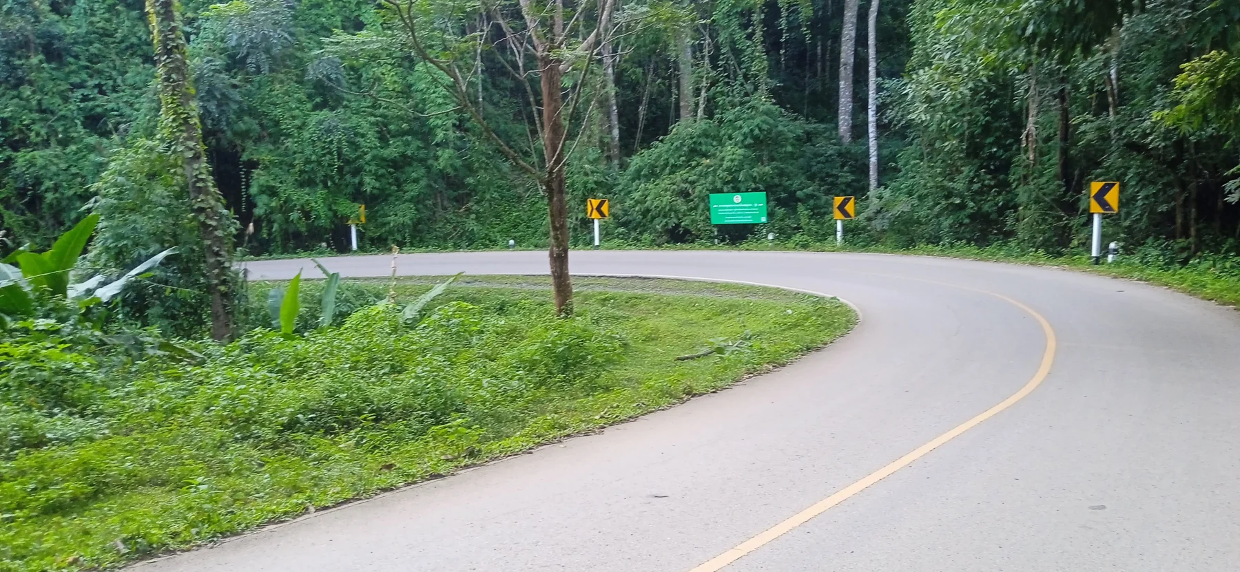
- Road Condition: Good asphalt and concrete roads
- Distance: Approximately 125 km
- Driving Time (without stops): 4 hours
- Tour Map: Google Map Link
Starting Point:
The loop begins at the R108 junction outside the moat at Chiang Mai’s South Gate.
Head toward the Yentafo Yok Lo restaurant in Samoeng via the southern leg of the Samoeng Loop (see The Samoeng Loop). This section is a great warm-up, even if it’s only a small part of this trip.
If you’d like to visit tourist attractions such as the King Cobra Show, Shooting Range, or Siam Insect Zoo, take the northern leg (R1096) from Mae Rim instead. While this route has numerous attractions, the southern leg (R1269) offers a better ride with significantly less traffic.
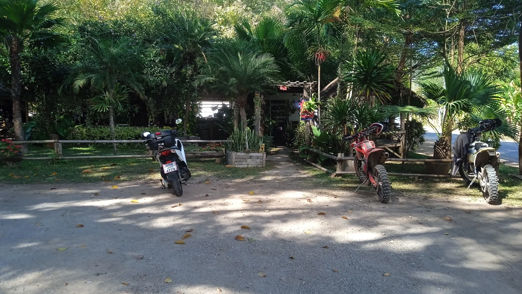
After a rest in Samoeng, leave the town on R1349.
Highlights Along R1349:
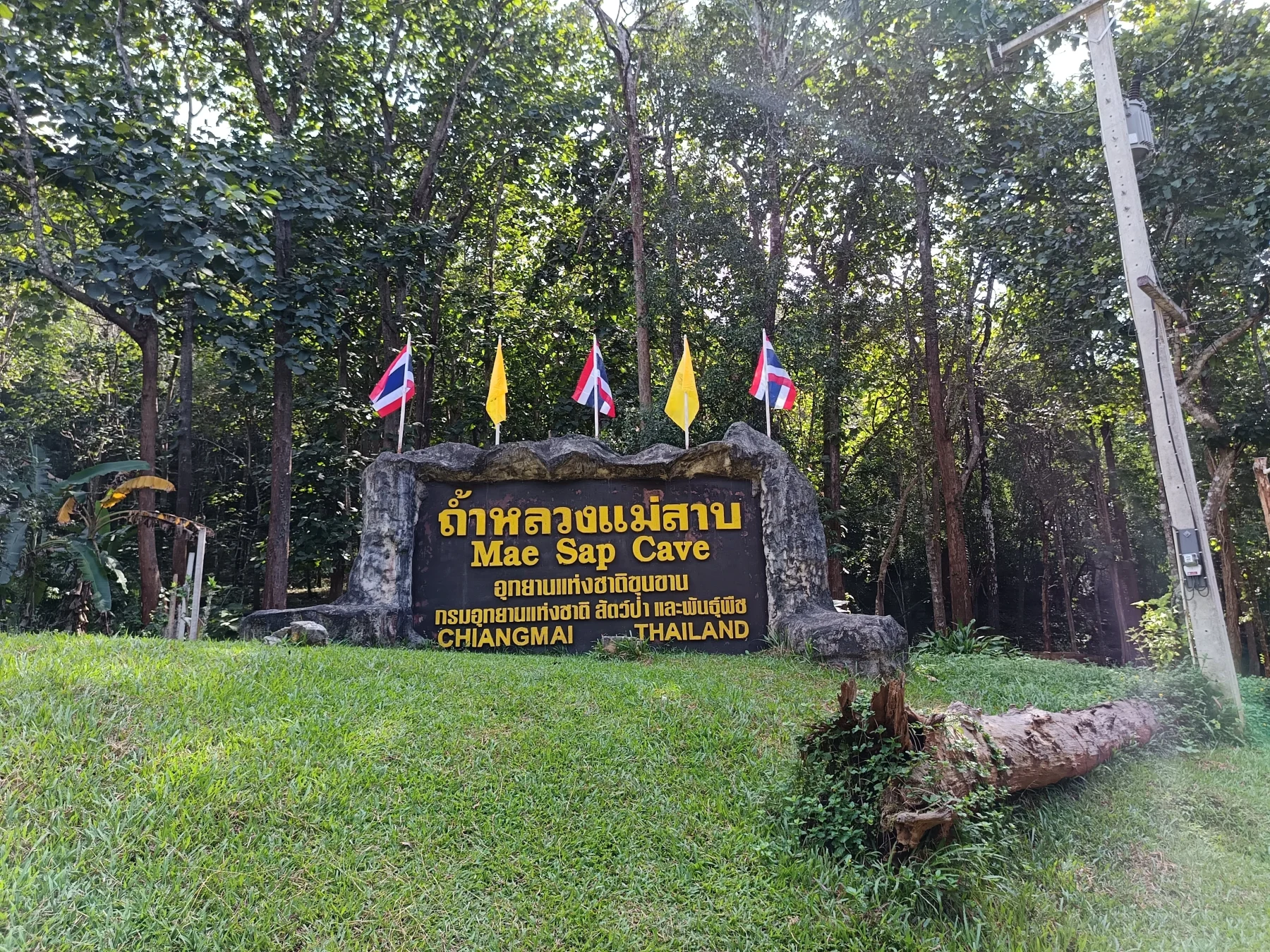
- Mae Sap Cave: Located 3 km from Samoeng, this dark cave offers an adventure with an entry fee of 140 Baht, which includes a necessary headlamp.
- R4043 Turnoff: Continue straight at the junction instead of turning left. Although Google Maps labels it as R4021, road signs indicate R4043.
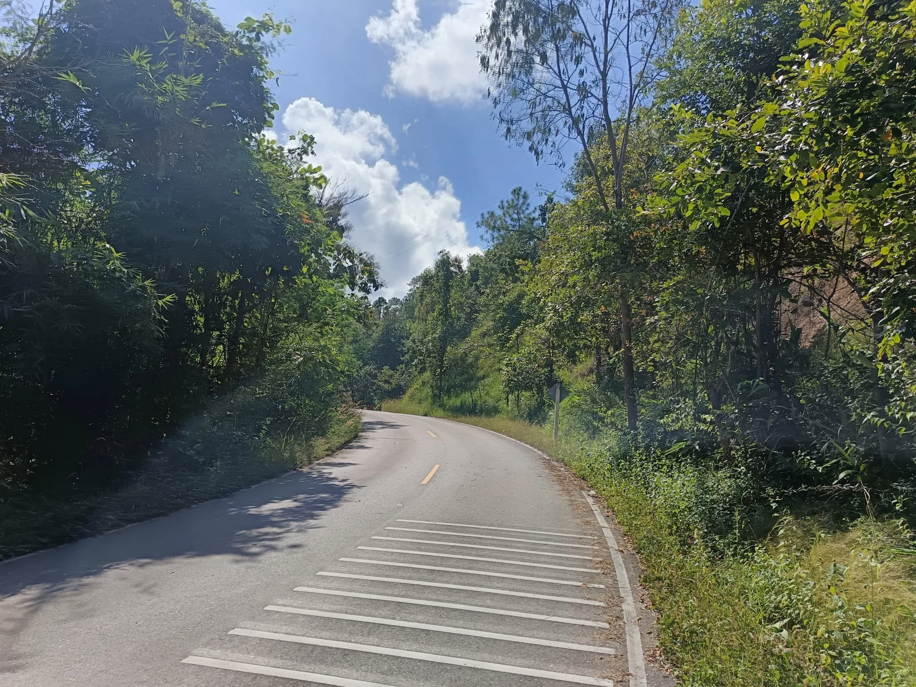
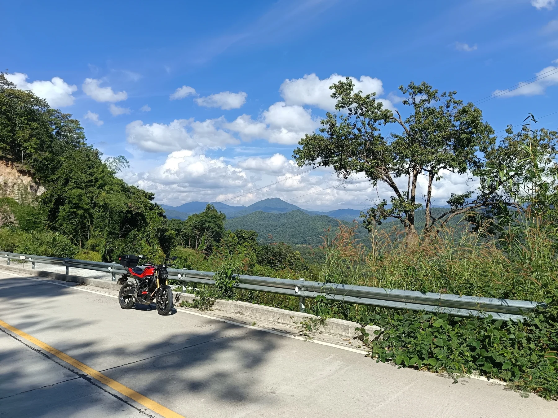
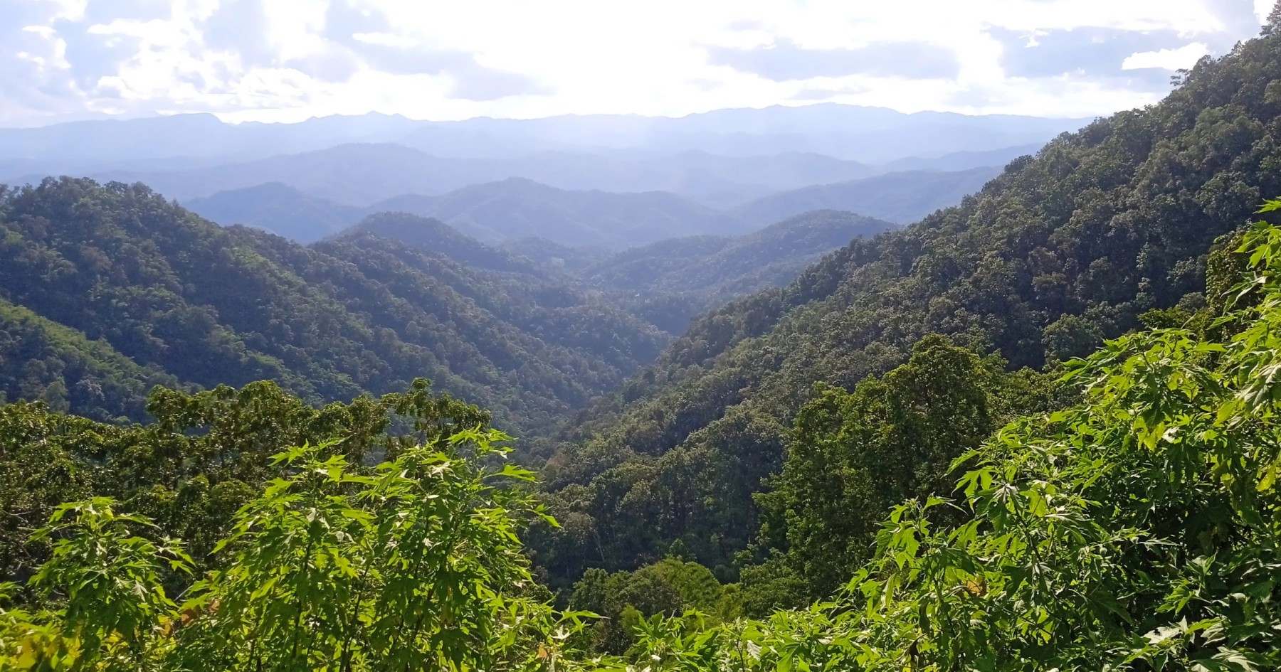
From here, a perfect asphalt road winds up a hill before descending slightly to Ban Kong Khak Noi and then climbing again to a pass (900 meters ASL). While the pass lacks a view, a fantastic viewpoint is located about 1 km further.
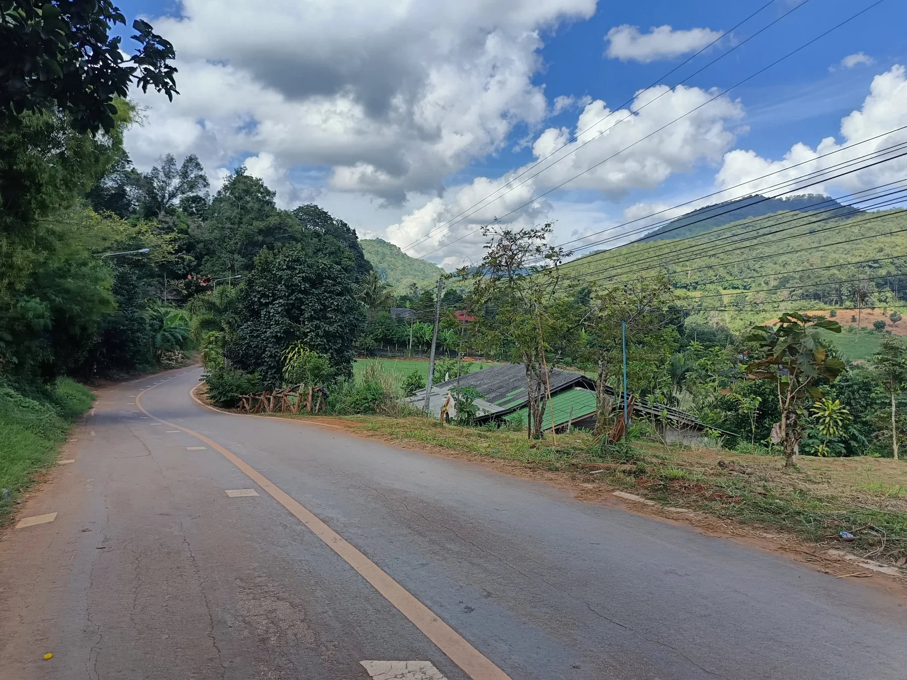
Through Ban Mae Sap to Tung Ting:
The road transitions to a good, narrow concrete road that descends into Ban Mae Sap before climbing again through a charming, narrow valley to Tung Ting, approximately 20 km from the R1349 turnoff.
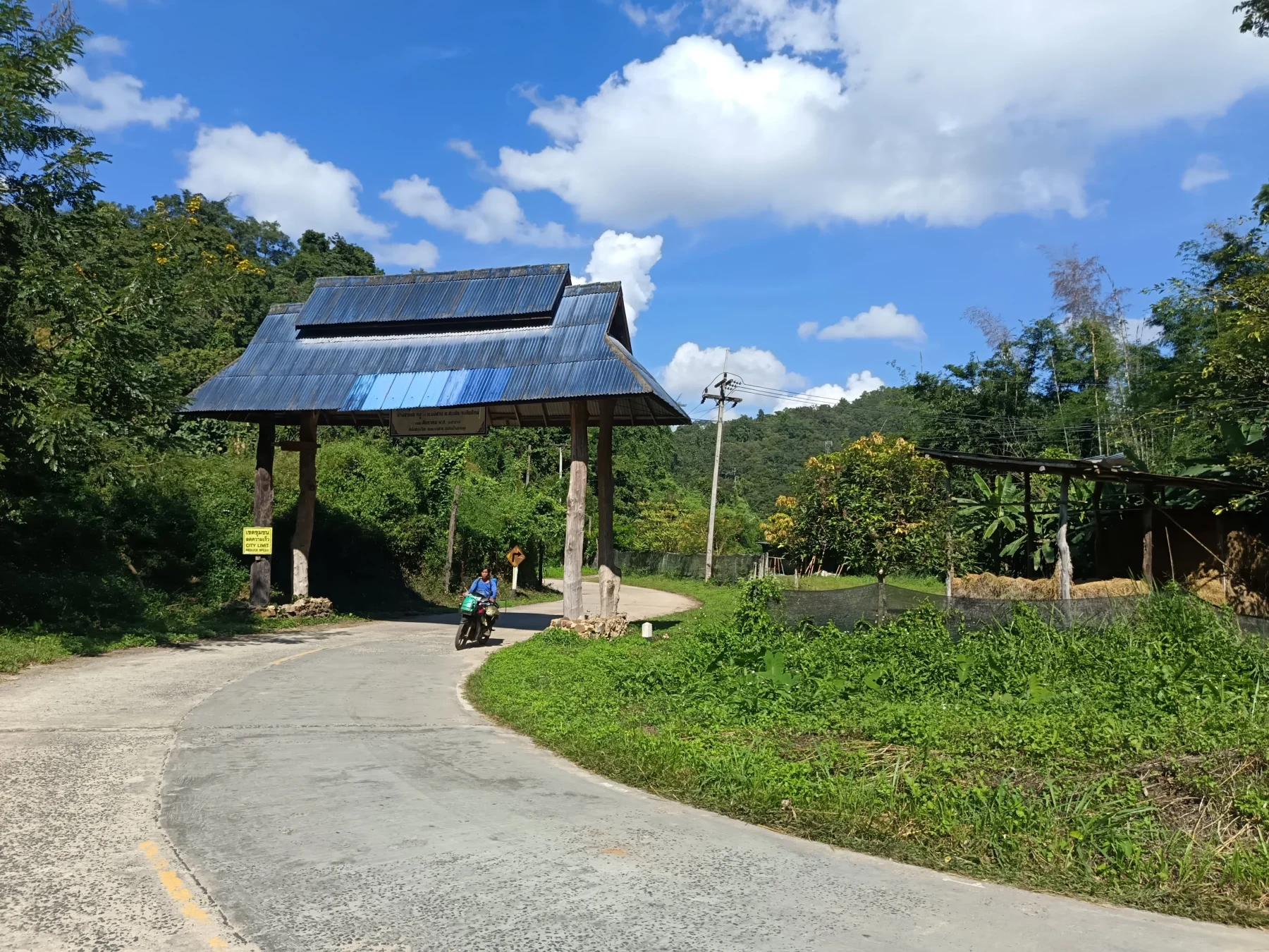
In Tung Ting:
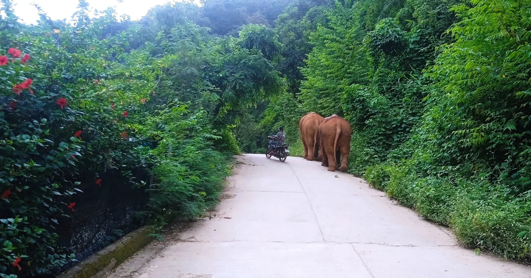
Tung Ting is a large village with a mixed Thai and Karen population. While you won’t be the first foreigner here, visitors are rare, with only about 10–20 a week.
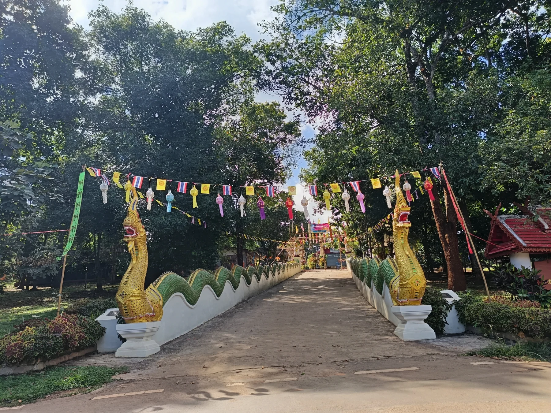
In the village center, a temple features impressive Nagas descending to the street. Opposite the Nagas is a shop where a friendly local can make fresh coffee. It’s an excellent place to stop for a chat.
At the village’s end, you’ll encounter two options:
- Left Turn: Leads to Ban Kung Saab and the steep road up to Ban Khum (see The Ban Khum Loop).
- Right Turn Across the Bridge: The road continues over the mountains to Pa Pae on R1095 (Mae Malai-Pai Road, see The Samoeng-Pa Pae Loop).
Across the Bridge to Ban Pa Lan and Mae Pa:
Cross the bridge and follow the road along the valley for 2 km before descending into Ban Pa Lan. Just before the village, at a slightly confusing junction, follow the signs for Mae Rim or R4021 (road signs may indicate R4043).
At Wat Ton Lan, turn right and continue for about 10 km to Ban Mae Pa. Upon leaving Mae Pa, turn left onto R4017.
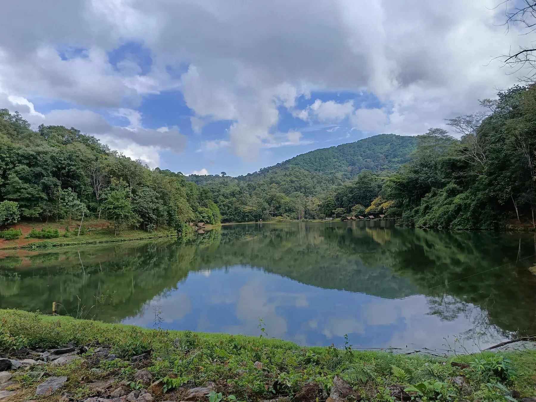
To Huai Tong Reservoir:
From Mae Pa, a 4 km climb leads to the Huai Tong Reservoir (see The Fishing Lake Loop). This reservoir is an ideal spot for a break, especially on weekends when its small restaurant may be open.
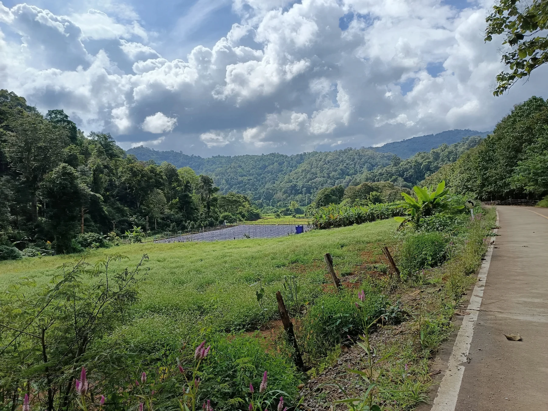
From the Reservoir to R1096:
From the reservoir, enjoy a pleasant 20 km ride on a twisty asphalt road to the R1096 junction, the main road to Samoeng.
Optional Detour:
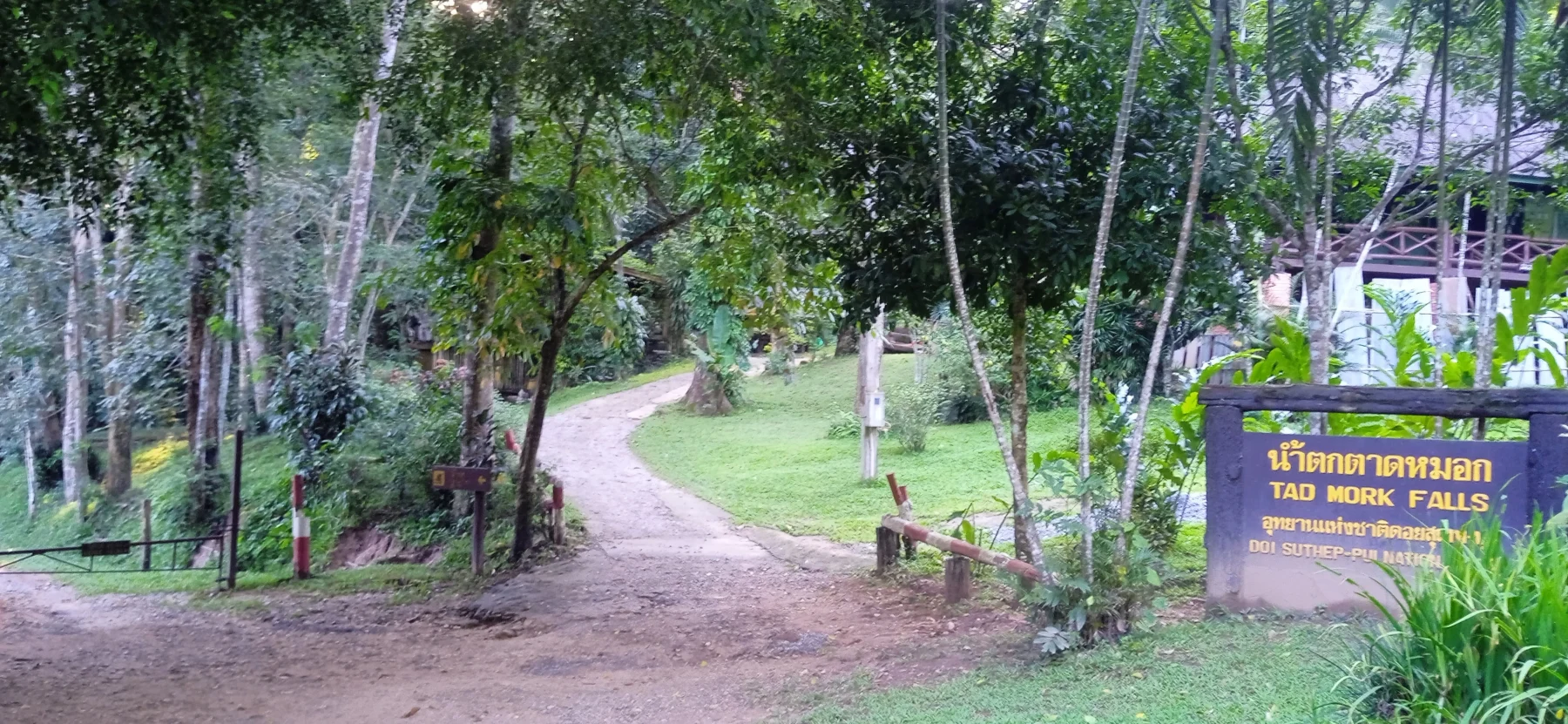
Turn right onto R4051 to visit Mon Jam, a popular glamping destination (see The Mon Jam Loop). On the way down, the Tad Mork Waterfall is worth a visit.
Return to Chiang Mai:
At the junction, turn left and descend for 4 km to the R1096/107 junction. Turn right and follow R107 for 15 km back to Chiang Mai, arriving at the Chang Puak (North) Gate
Granithans
1 year ago
Great loop