The Samoeng-Pa Pae Loop
 Hans Ostertag
left for contents
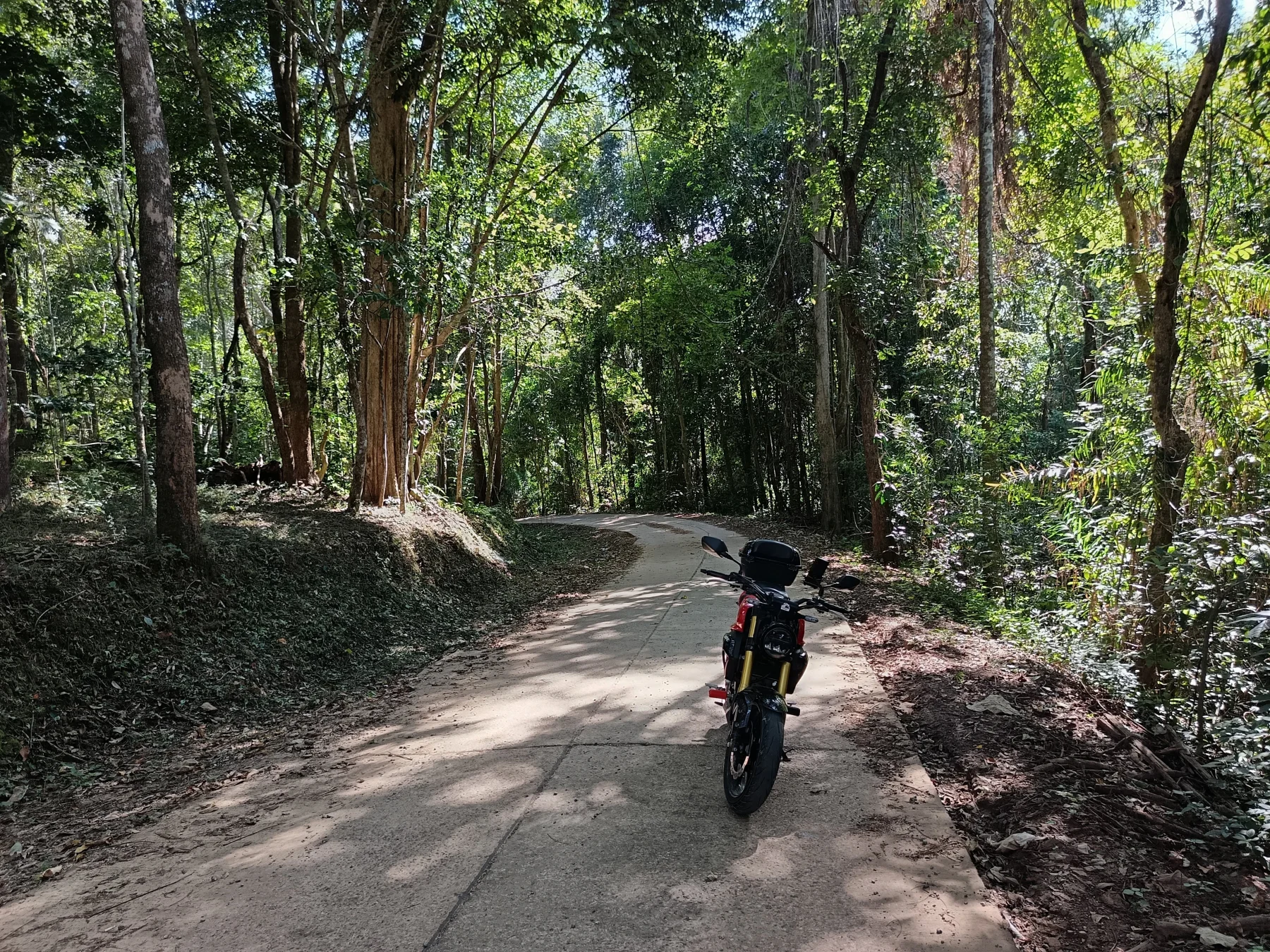
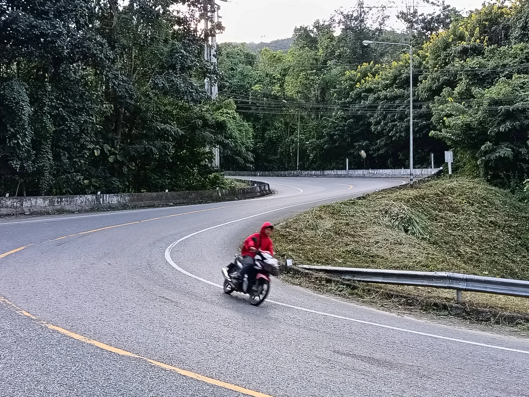
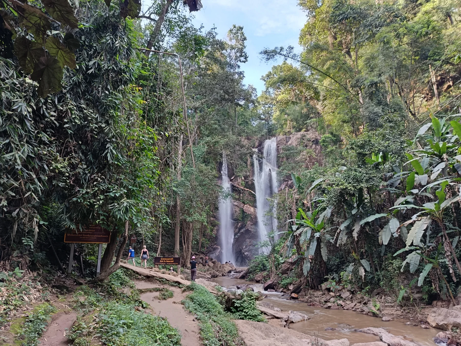
This ride takes you to the remote area between the Samoeng and Pa Pae districts, northwest of Chiang Mai City. The route begins with familiar stretches of the Samoeng and Tung Ting Loops before ascending into remote mountains, passing through lush jungle and small villages, and eventually rejoining civilization at R1095 (Mae Malai-Pai Road). The loop includes a few steep sections on broken concrete roads, requiring some riding experience. As a reward, you can enjoy a refreshing swim at the popular Mok Fa Waterfall before heading back to Chiang Mai.
Tags:
- Mountain Road
- Hill Tribe Area
- Non-Touristic
- Adventure
- Backroad
- Viewpoints
- Waterfall
Tour Data:
- Route Numbers (per Google Maps): 108 – 1269 – 1349 – 4021 (road signs may show 4043) – unknown roads – 1095 – 107
- Road Condition: Good asphalt roads, good and rough concrete roads, and a few kilometers of broken concrete
- Distance: Approximately 160 km
- Driving Time (without stops): 5 hours
- Tour Map: Google Map Link
Directions and Highlights
Starting Point:
The loop begins at the R108 junction just outside Chiang Mai’s South Gate.
To Samoeng:
Take the southern leg of the Samoeng Loop, a great warm-up ride (see The Samoeng Loop). If you prefer tourist attractions like the King Cobra Show, Shooting Range, or Siam Insect Zoo, you can opt for the northern leg (R1096). However, the southern leg offers a more enjoyable and less trafficked ride.
Not Sure What Size to Order? Get Our Gear Fit Guide.
Brand-by-brand sizing charts for helmets, jackets, gloves & boots — plus pro fitting tips so your gear fits right the first time.
- Helmet sizing by brand
- Jacket, glove & boot charts
- Head shape guide
- Between-sizes tips
From Samoeng to Tung Ting:
- From Samoeng, head out on R1349.
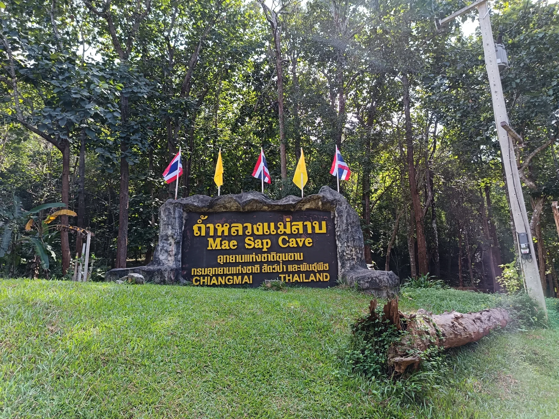
- After 3 km, you can visit Mae Sap Cave (entry fee: 140 Baht, headlamp included).
- Continue 2 km further and proceed straight onto R4043 (listed as R4021 on Google Maps but marked as R4043 on road signs).
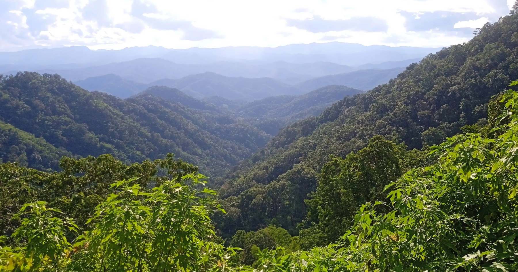
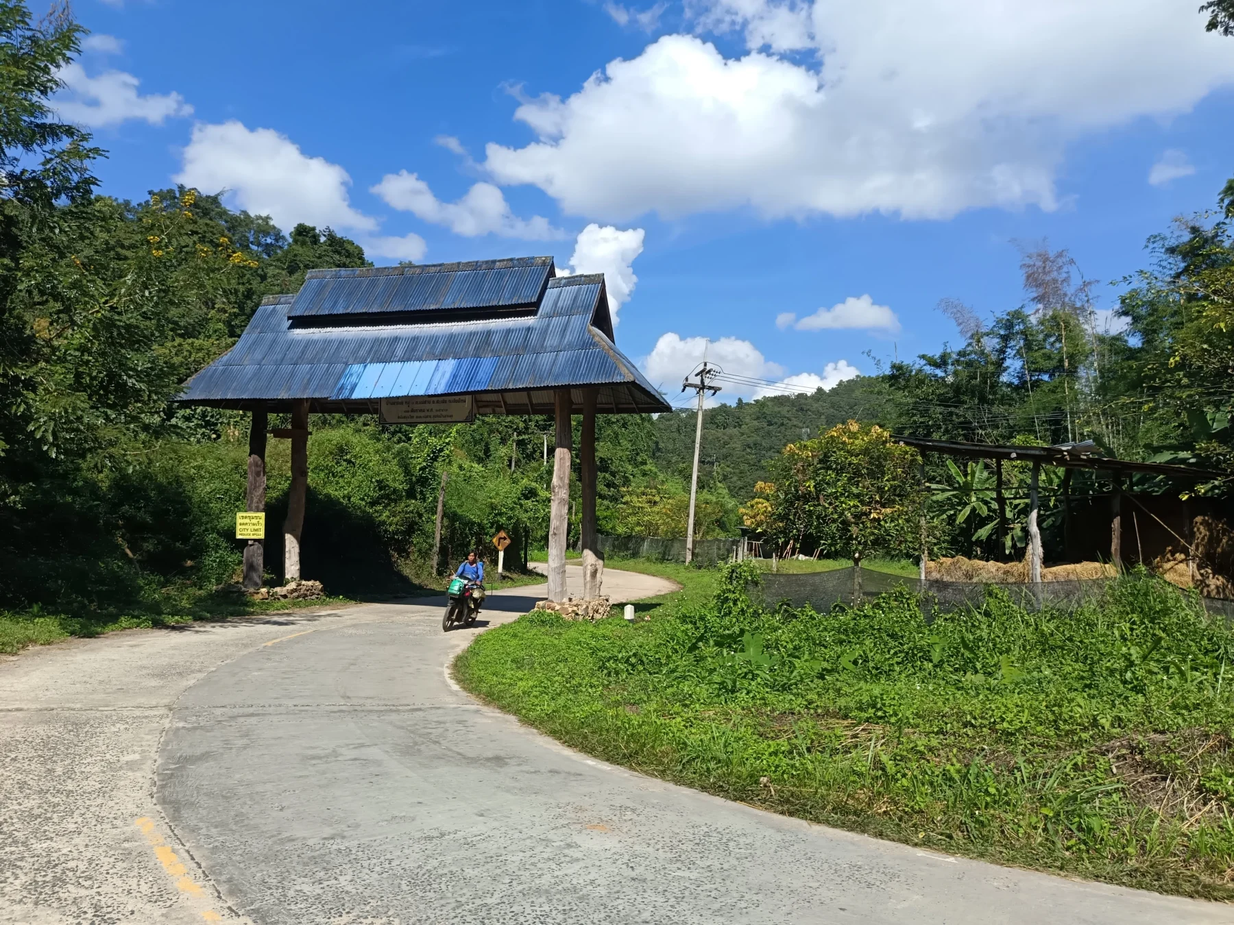
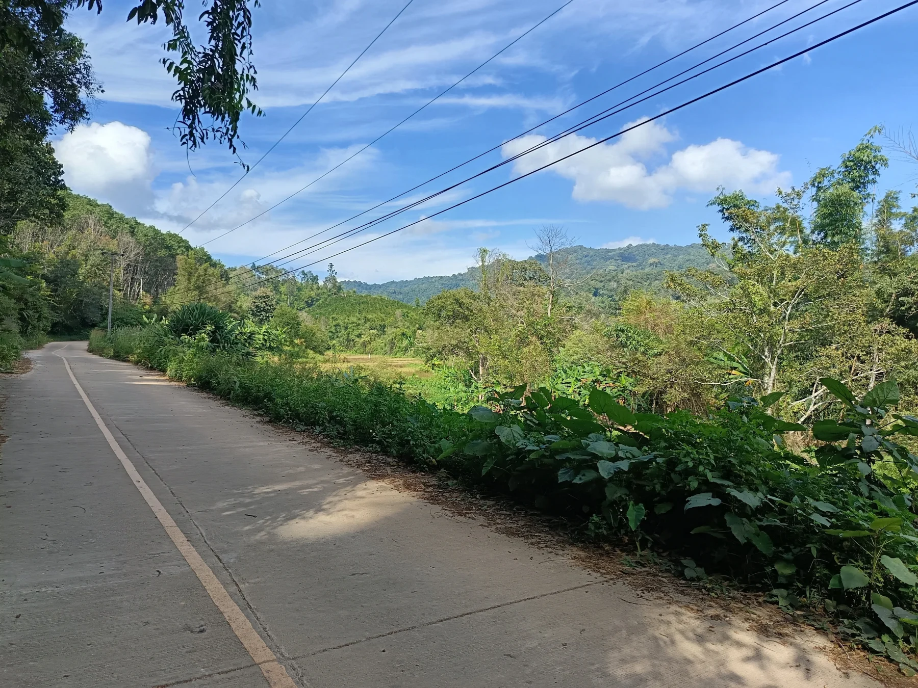
The road winds through hills, passing Wat Kong Khak Noi and a 900-meter ASL pass. Shortly after the pass, there is a great viewpoint before descending to Ban Mae Sap. From here, the road climbs again through a narrow valley to Tung Ting, about 20 km from the R1349 turnoff.
In Tung Ting:
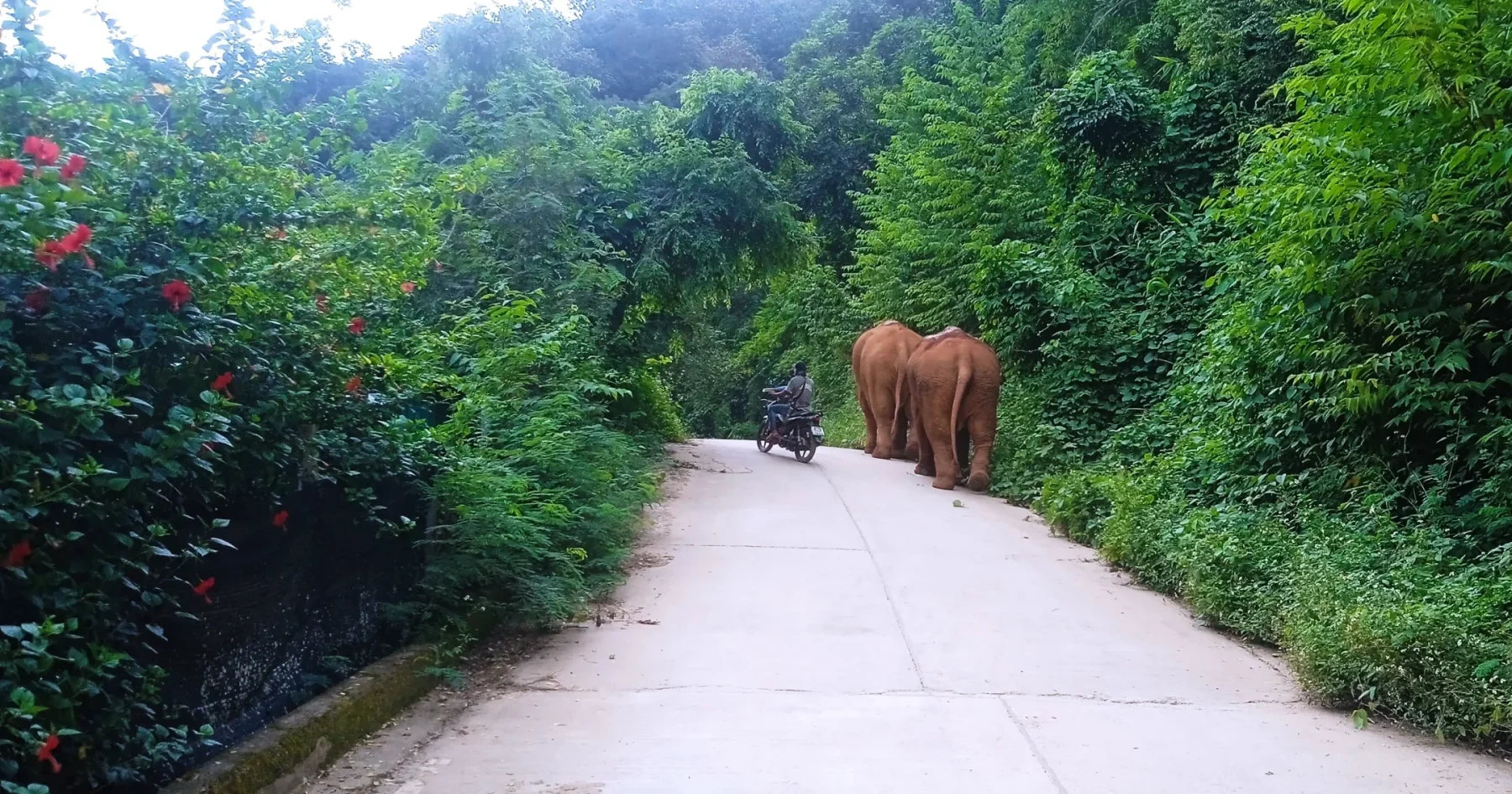
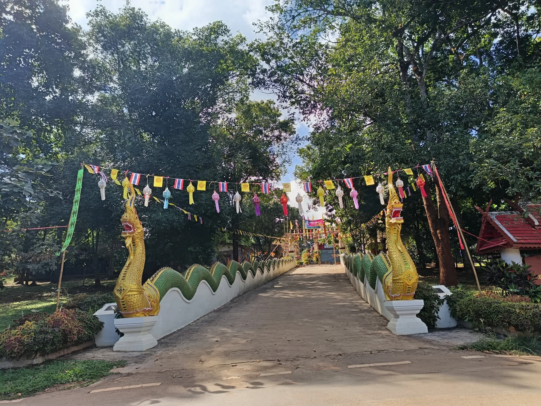
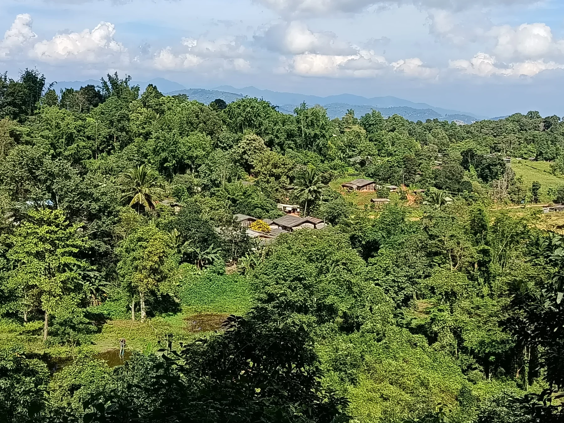
Tung Ting is a large village with a mix of Thai and Karen residents. Visitors are rare, with only about 10–20 foreigners arriving each week. The village’s temple features impressive Nagas descending to the street. Across from the temple, a shop serves fresh coffee—perfect for a quick break and a chat with the friendly locals.
To the Unknown Roads:
- At the end of Tung Ting, the road splits:
The road here isn’t fully mapped on Google Maps but can be navigated using MapsMe. Follow the main road to a junction where you’ll turn left onto the “main” road connecting Mae Pae and Pa Pae.
The Adventure Section
To Ban Pa Pha O:
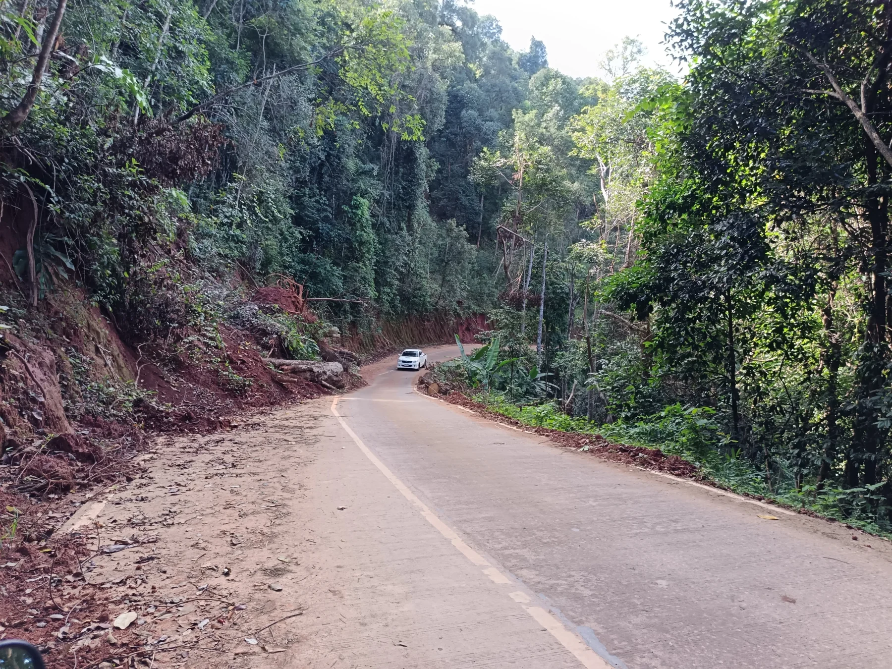
The road climbs steeply to a pass at 1,100 meters ASL, about 1 km before Ban Pa Pha O. From the pass, a steep and rough descent leads to Ban Pa Yang Nat.
To Ban Mae Luang:
At Wat Pa Yang Nat, turn left and follow a narrow concrete road through the Mae Rim River valley for 4 km. This is followed by a very steep climb and descent on broken concrete to Ban Mae Luang.
To Pa Pae:
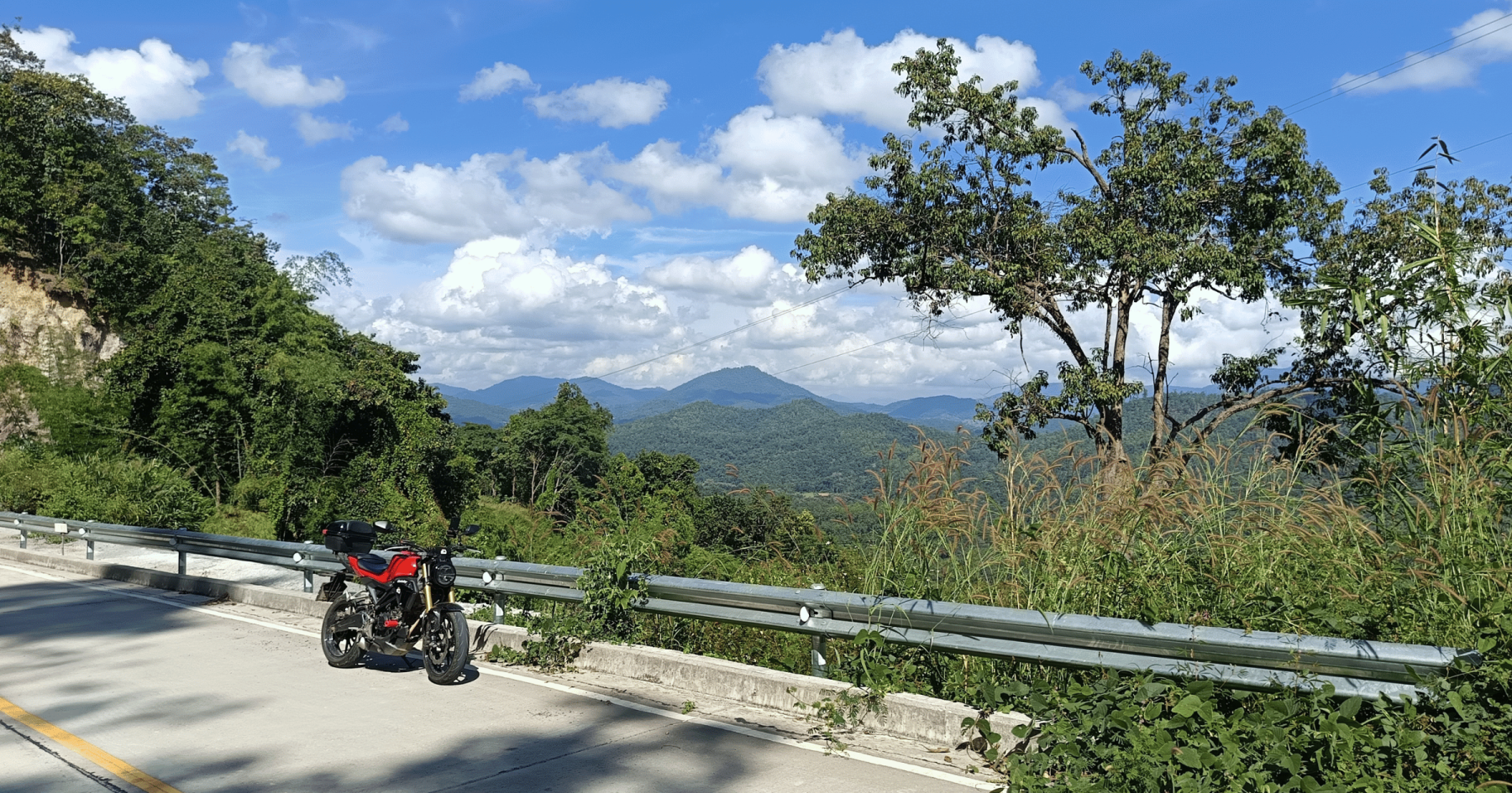
From Ban Mae Luang, it’s another 3.5 km on new asphalt to the R1095 junction at Pa Pae.
- Optional Shortcut: Turn right onto a road leading past a well-known meditation retreat.
To Mok Fa Waterfall:
Head south on the fantastic, winding R1095 (part of the famous Mae Hong Son Loop). This road sees more traffic, including scooters and tourists heading to Pai, northern Thailand’s top tourist hotspot.
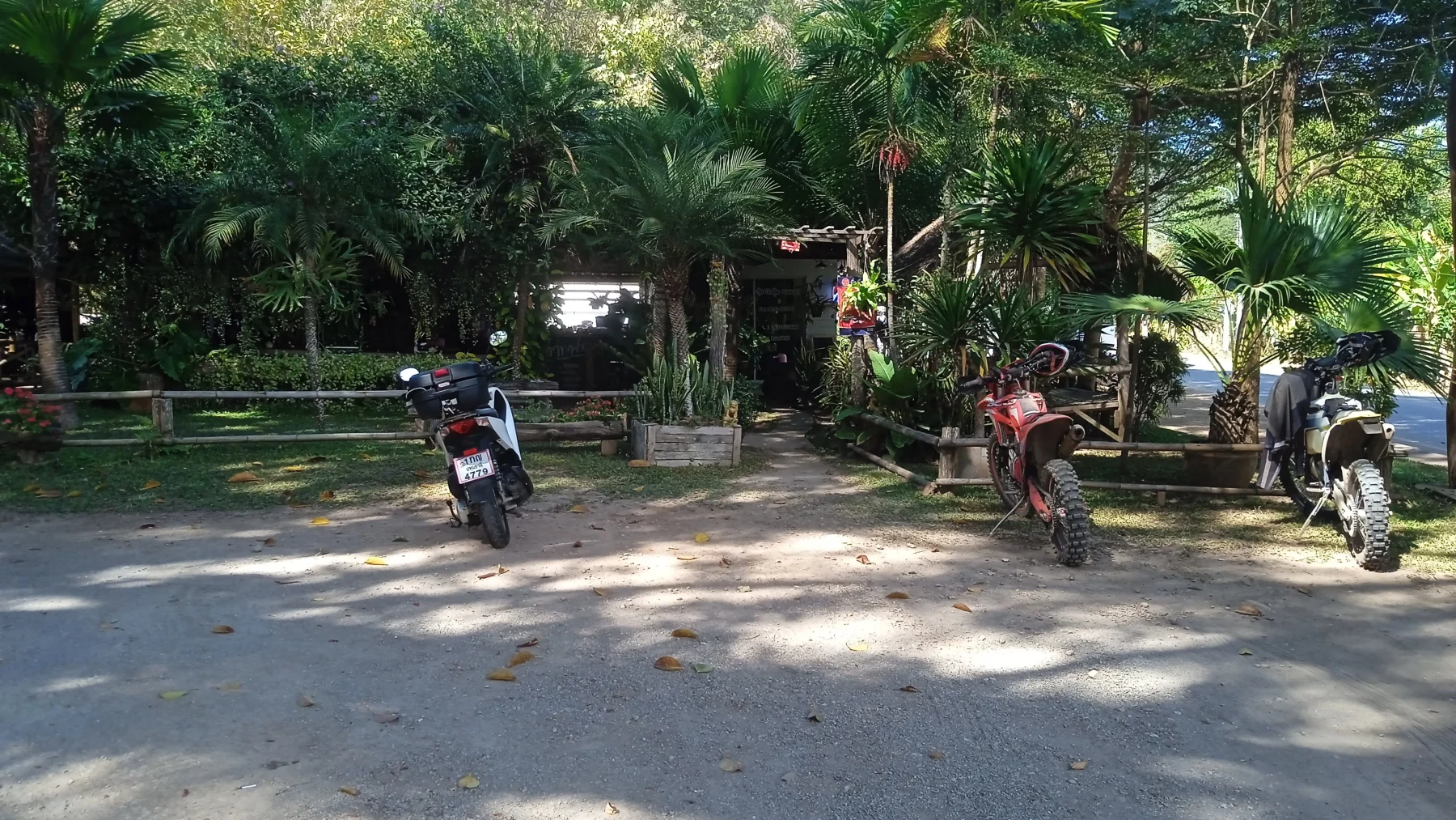
After 10 km, stop at Pankled Coffee and the nearby Mok Fa Waterfall, which is great for a refreshing swim.
Returning to Chiang Mai
Option 1:
From Mok Fa Waterfall, follow R1095 south to the R108 junction (20 km). Turn right onto R108, and you’ll reach Chiang Mai in about 45 minutes.
Option 2 (Preferred):
For a more scenic return, take the R3009 rice paddy road (detailed in The Mok Fa Loop) at the halfway point down R1095. This quieter route offers a more pleasant ride, at least until Mae Rim.