The Samoeng Loop
 Hans Ostertag
left for contents
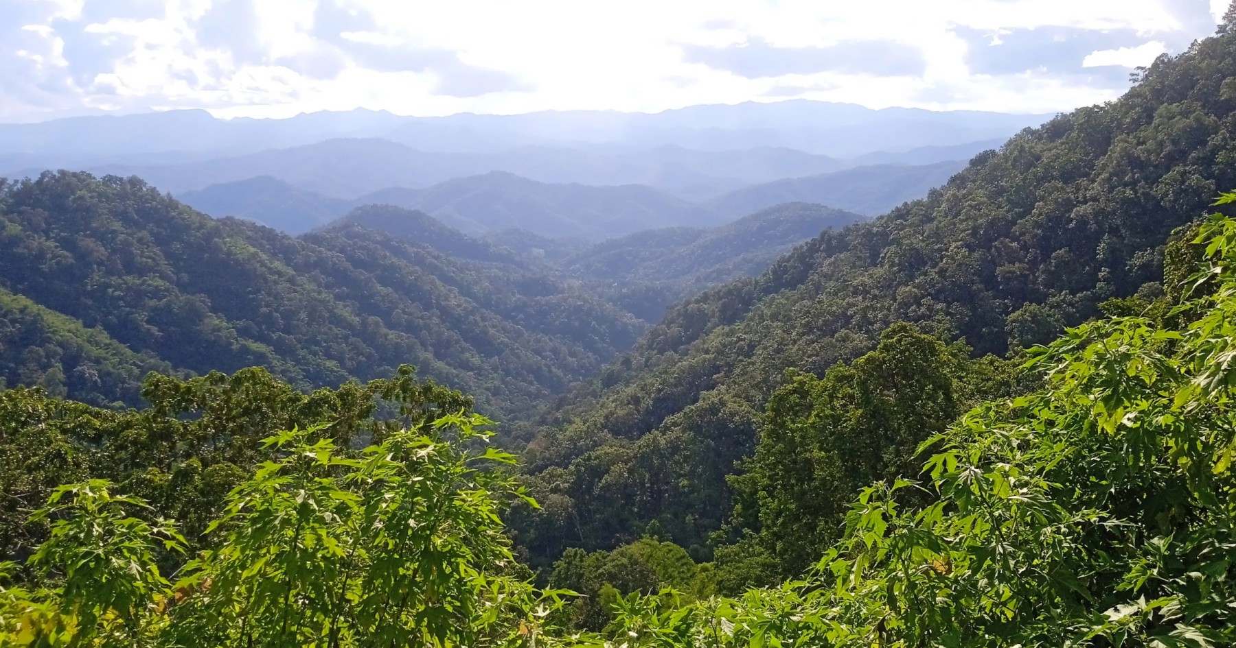
This loop is the most popular day trip for 95% of visitors to Chiang Mai who travel independently. It’s a great 100 km route on excellent roads, suitable for either a 3-hour drive or a full-day tour with various sights and activities. Most travelers go anticlockwise, starting with the northern leg from Mae Rim. However, many stop at the Samoeng Forest Viewpoint and miss out on other attractions!
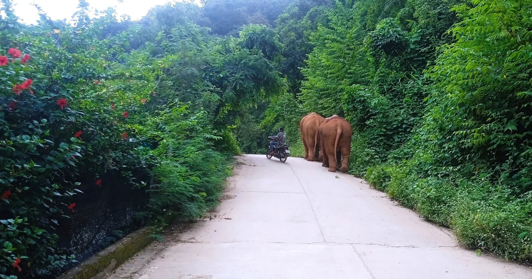
If you’re interested in elephant camps (there’s one on the northern leg), insect zoos, shooting ranges, cobra shows, and similar attractions, it’s best to go anticlockwise from Mae Rim. However, if you’re more interested in enjoying nature, scenic views, and the ride itself, go clockwise. As this guide focuses on lesser-known sites, fantastic motorbike (and scooter) roads, beautiful nature, and the welcoming people of northern Thailand, we recommend going clockwise!
Tags:
- Half-day tour
- Mountain road
- Nature/forest
- Viewpoints
- Tourist attractions
Tour Data:
- Road numbers (Google Maps): 108 – 121 – 1269 – 1096 – 107
- Road condition: Good asphalt roads
- Distance: Approximately 100 km
- Driving time (without stops): 3 hours
- Tour map: Google Maps link
Directions and Highlights
Starting Point: The R108 junction outside Chiang Mai’s South Gate (near the moat).
Not Sure What Size to Order? Get Our Gear Fit Guide.
Brand-by-brand sizing charts for helmets, jackets, gloves & boots — plus pro fitting tips so your gear fits right the first time.
- Helmet sizing by brand
- Jacket, glove & boot charts
- Head shape guide
- Between-sizes tips
- Head south on the busy R108 for about 8 km, then turn right onto R121 (signposted for Samoeng) and continue 2.5 km.
- Turn straight onto R1269, where traffic lightens, marking the start of the Samoeng Loop’s southern leg.
Southern Leg Highlights:
- The road initially winds through a few villages (10 km), then ascends gradually to Krista Doi Pass (830 m ASL).
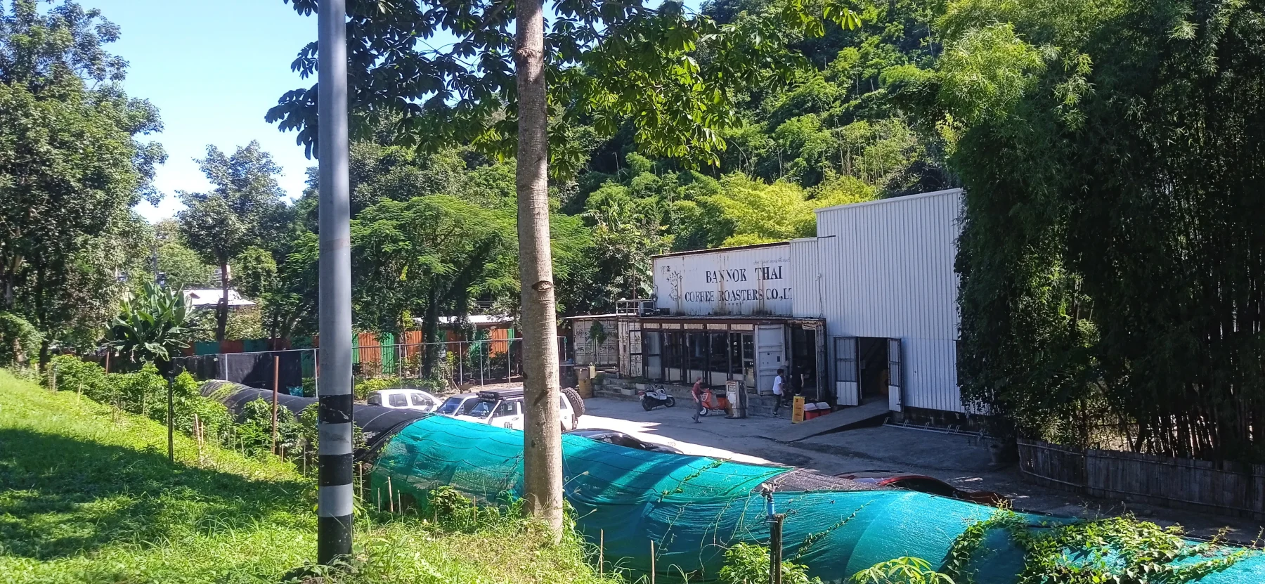
- Stop at Bannok Coffee Roasters Café, which resembles an abandoned factory but features a shady garden and excellent coffee.
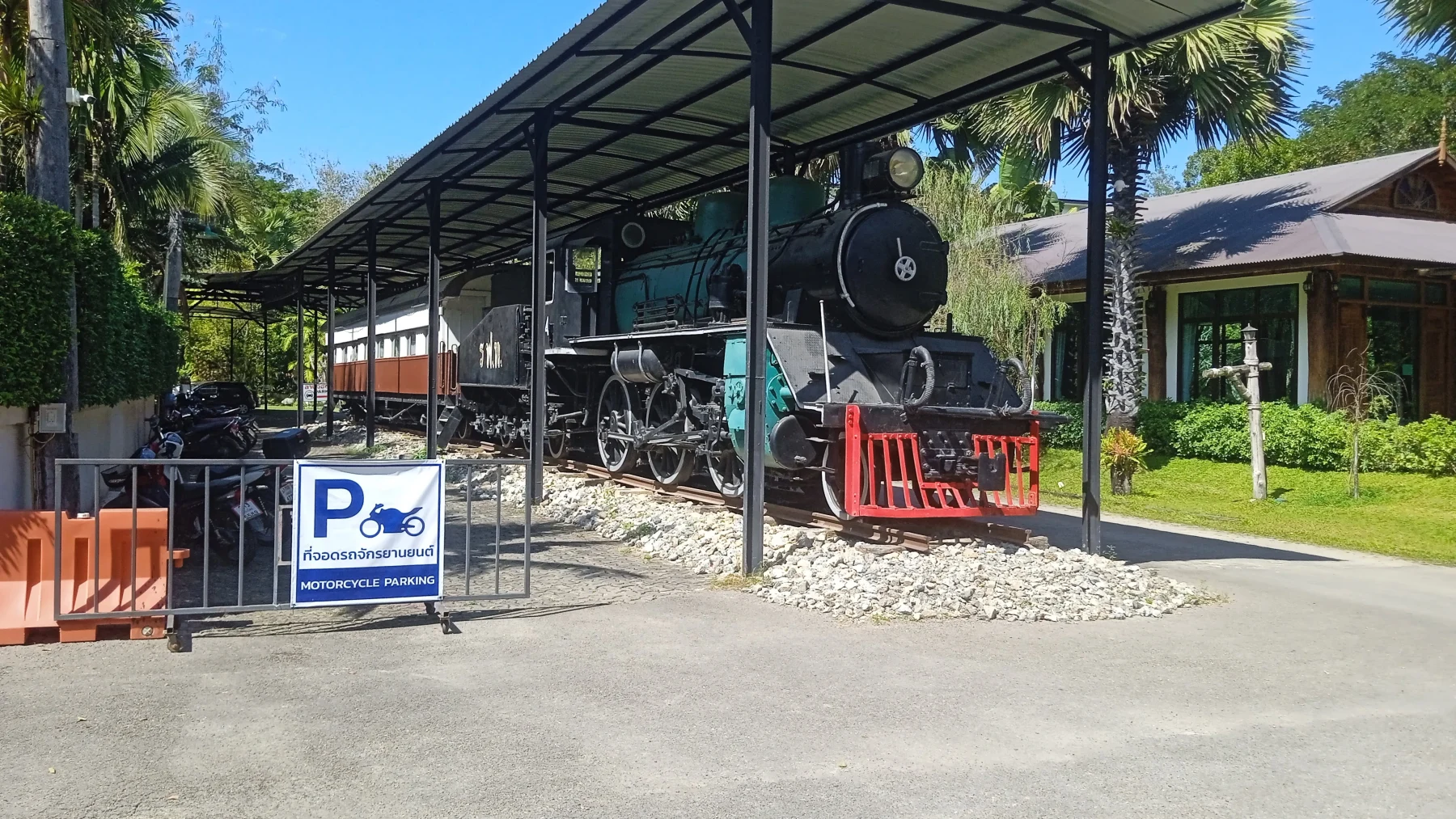
- Visit the Royal Train Resort for lunch or drinks in a vintage dining car. It’s also a great place to stay for a night outside the city.
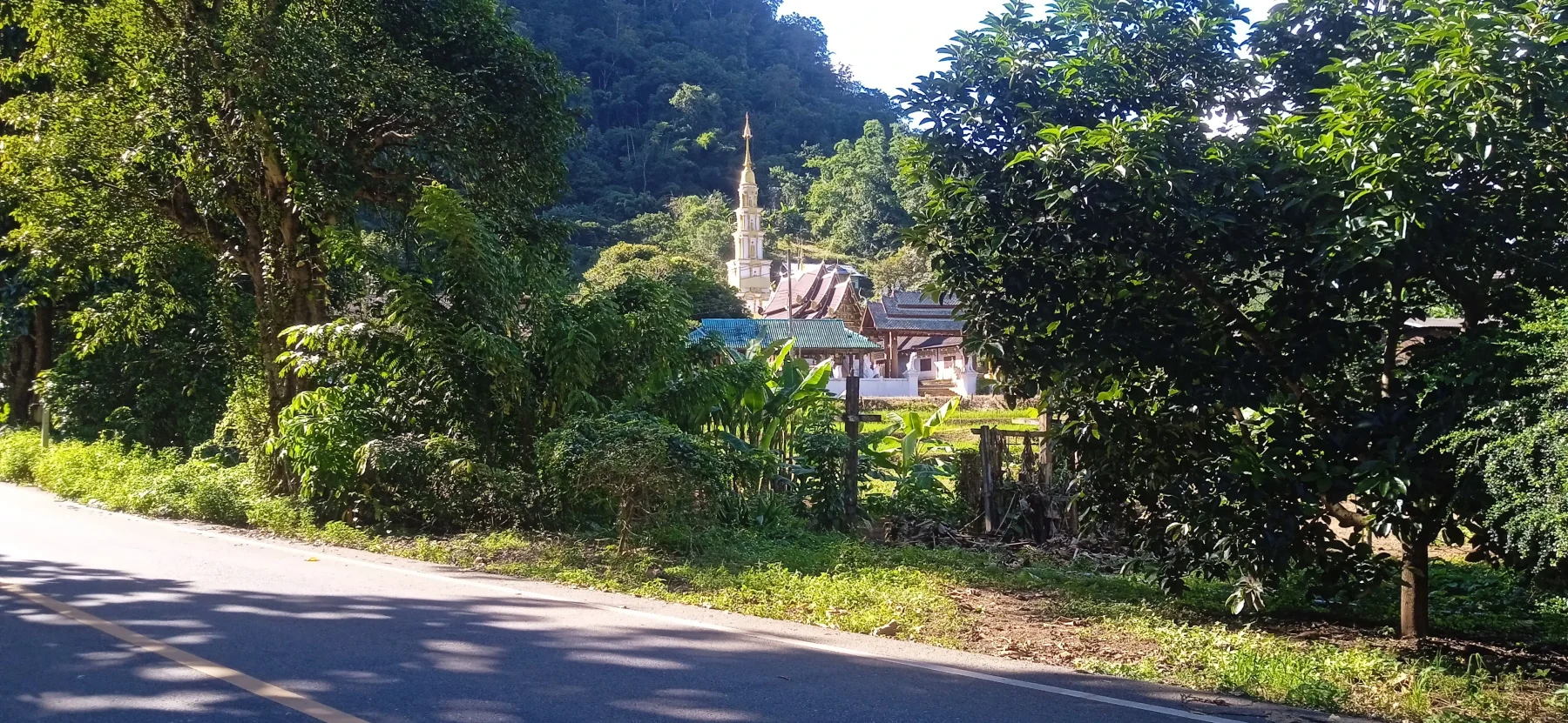
- Shortly after the resort, see the white pagoda of Wat Ban Pok (covered in “The Op Khan Loop”).
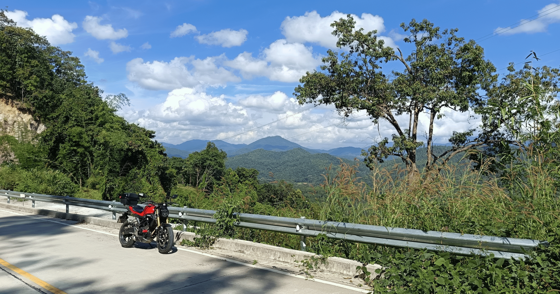
- Enjoy numerous coffee stops, like the Mountain Corner Café, which offers the best views.
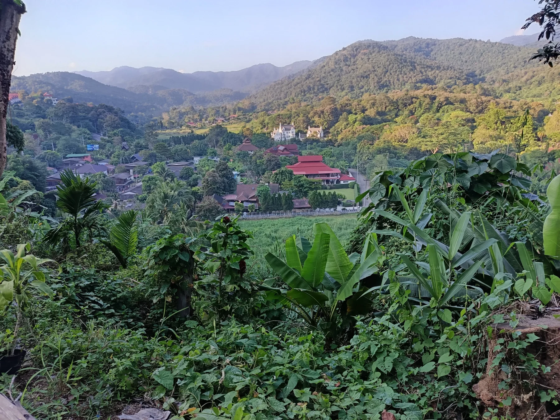
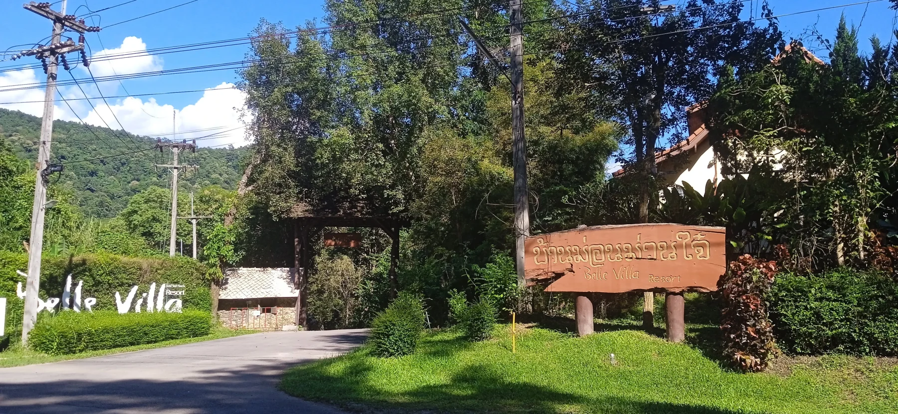
Continuing up, you’ll pass luxury resorts such as Belle Villa. On the mountain pass, stop at the Seven Curves Restaurant. From here, the road descends via steep switchbacks to Ban Mae Khanin Nuea, where you’ll find a charming wat.
Optional Detours:
- Explore the Patara Elephant Conservation Camp near the village.
- Ambitious dirt bike riders can take the “Trail of 100 River Crossings” down the Khanin River to Ob Khan National Park.
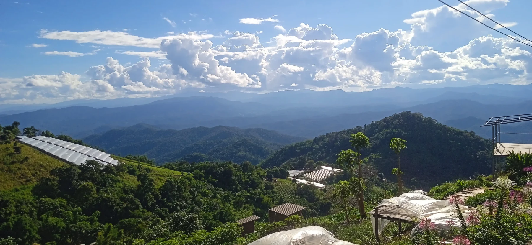
- For stunning views, take the 3 km climb to Ban Buak Chan and visit Nuea Doi Camping for the best viewpoint on the loop.
Reaching Samoeng Town:
- At the R1269/1096 junction, you can either:
- Turn right onto R1096 to complete the loop, or
- Go straight 5 km to Samoeng Town, which lends its name to the loop.
- In Samoeng, explore the market and resorts like Nai Khun Khao Resort or Lhongkhao Samoeng.
Northern Leg Highlights:
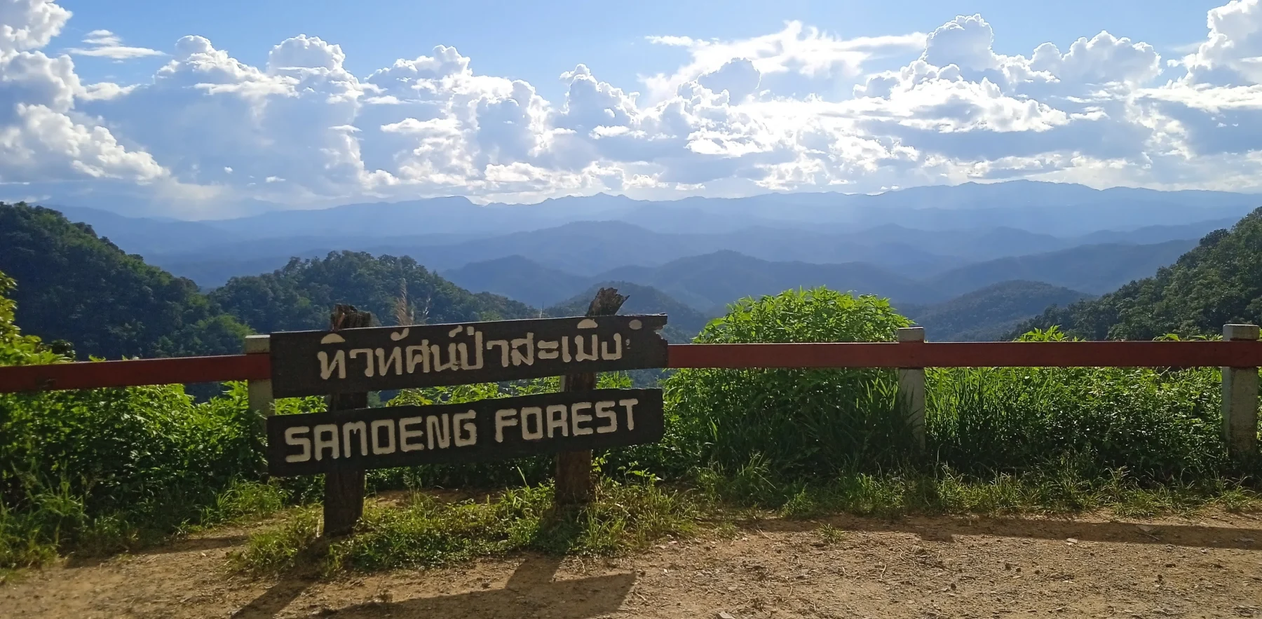
From the R1269/1096 junction, follow R1096 to the Samoeng Forest Viewpoint (1,120 m ASL), the second-best viewpoint on the loop.
- Descend approximately 25 km to Mae Rim and the R1096/107 junction.
- Optional detours include:
- A climb up R4051 to Doi Mon Jam, a glamping hotspot (see “The Mon Jam Loop”).
- A visit to the Mae Sa Waterfall (let me know if you find the motorbike key I dropped there!).
On the way down R1096, you’ll pass numerous tourist attractions, including the long-established X-Center for outdoor activities. While not my preference, these might interest some travelers.
End the route on R107, which takes about 20 minutes (traffic permitting) to reach Chiang Mai’s Chang Puak (North) Gate.