The Mon Jam Loop
 Hans Ostertag
left for contents
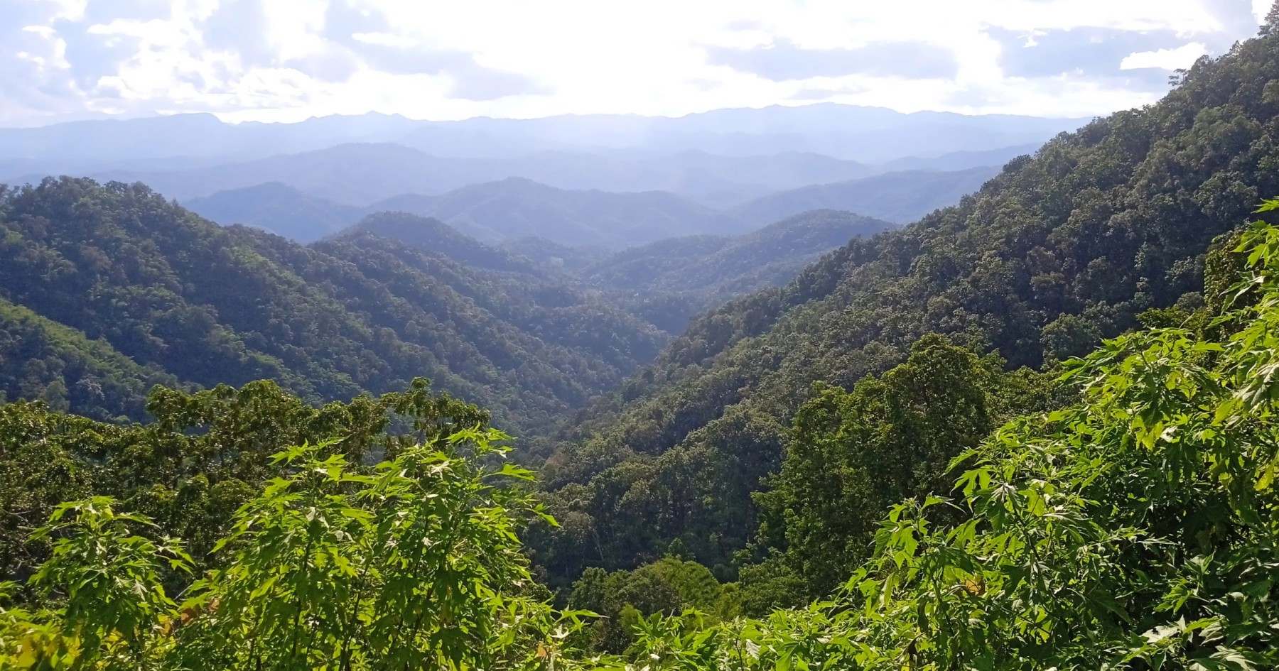
This trip takes you to the “glamping capital” of northern Thailand, the Hmong village of Nong Hoi, situated at approximately 1,300 meters above sea level (ASL). It is very well-known among Thai tourists, though less so among Western visitors. The route features good roads, passing waterfalls and areas of beautiful forest cover. The only challenge is the short but steep ascent and descent to and from the mountain top. Once there, you’ll enjoy stunning views of the Samoeng mountain range.
Tour Data:
- Route Numbers (per Google Maps): 107-1096-4043-4051-1096-107
- Road Condition: Good asphalt roads
- Distance: Approximately 80 km
- Driving Time (without stops): 2.5–3 hours
- Tour Map: Google Map Link
Starting Point
The starting point is the R107 junction just outside the moat at the Chang Puak (North) Gate.
Head north on the busy R107 (Chang Puak Road) for about 15 km to Mae Rim. While this stretch isn’t particularly enjoyable, it’s necessary to reach the natural beauty surrounding Chiang Mai. Additionally, it offers a sense of the city’s scale, as the Chiang Mai metropolitan region has a population of approximately 1.2 million.
At the 107/1096 junction, turn left toward Samoeng. The R1096 is lined with tourist attractions, such as Bai Orchid and Butterfly Farm, Elephant Poopoopaper Park, X-Center, a shooting range, and a King Cobra show, among others.
After 3 km on the R1096, you’ll see a large 7-Eleven on the left, where you can stock up on drinks and snacks. About 500 meters past the 7-Eleven, turn right onto R4043, just before the PT gas station—this turn is easy to miss. This road serves as the back route to Samoeng.
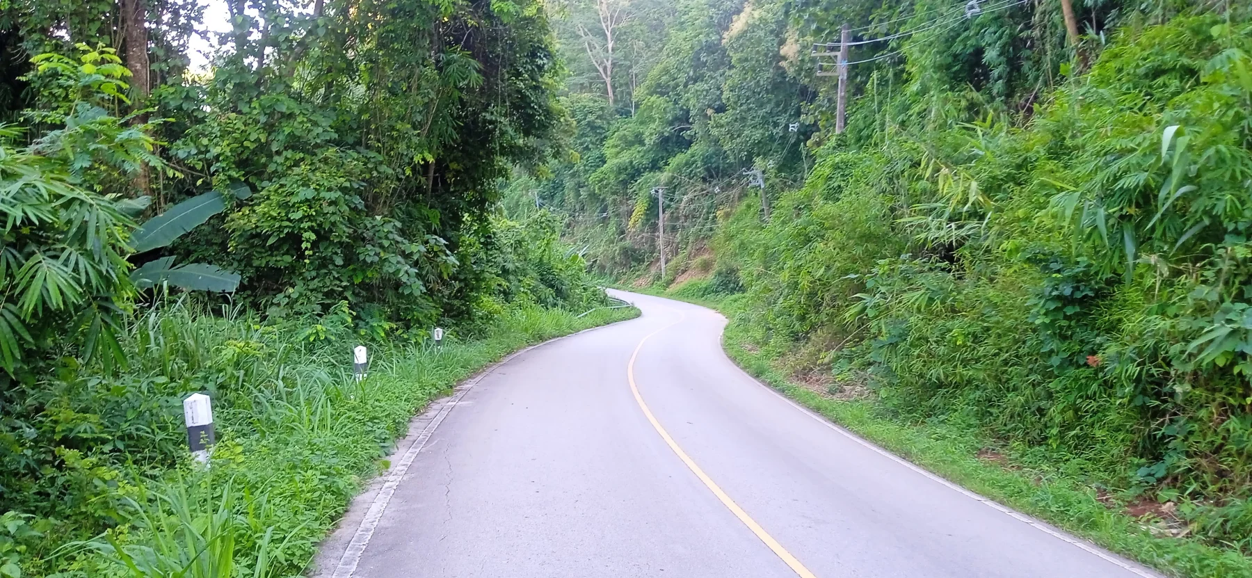
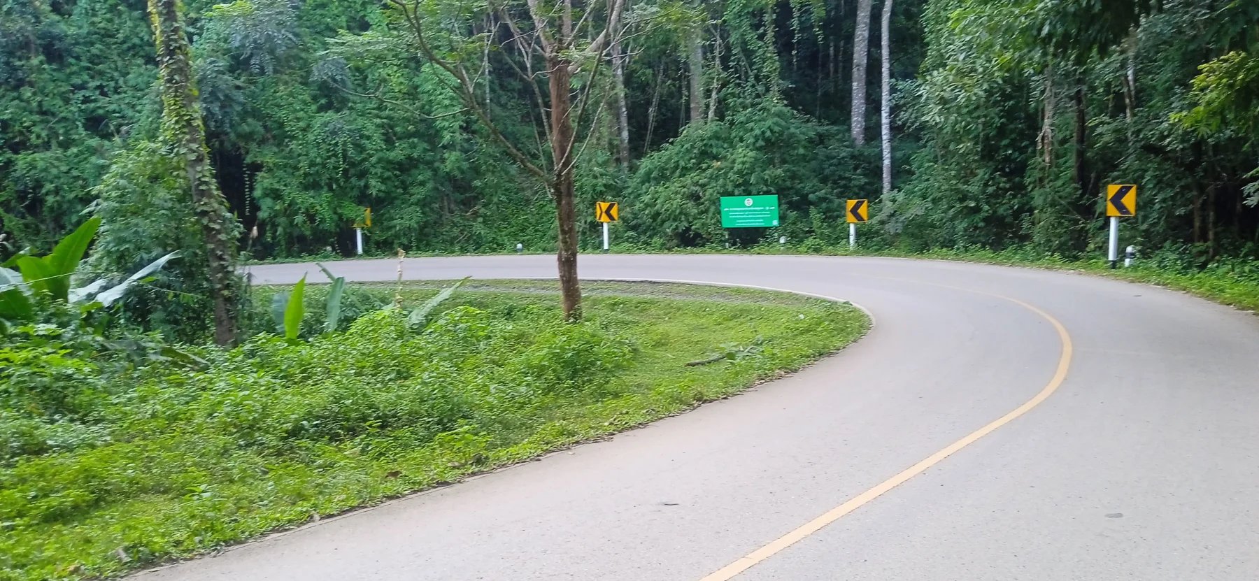
Once on R4043, you’ll leave the traffic behind as the road climbs swiftly for about 17 km through lush green forests to the village of Mae Khi.
Highlights Along R4043:
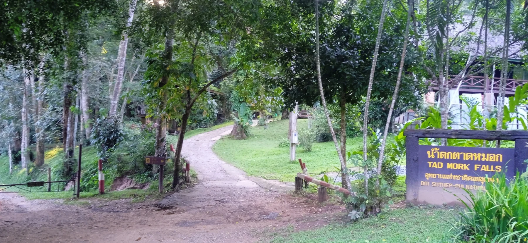
- Tad Mork Waterfall: Located 9 km along this road (entrance fee: 100 Baht).
- Homestays: A variety of accommodations are available. It’s recommended to inspect them personally, as online photos and descriptions can be misleading.
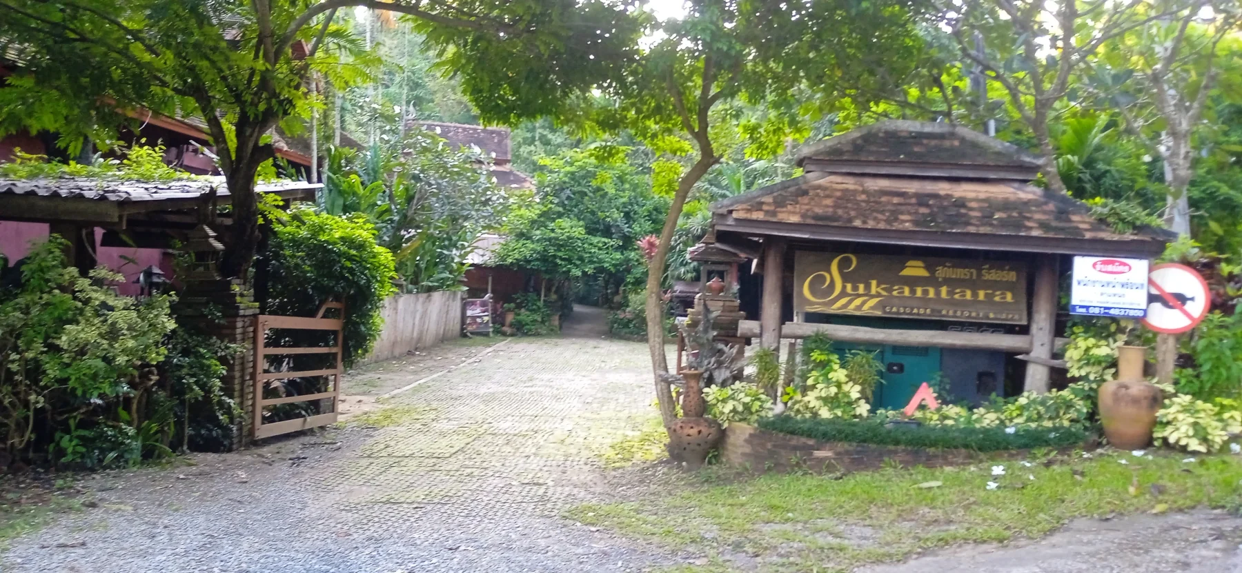
- Sukantara Resort: A premium option for those willing to splurge.
About 1 km past Mae Khi, turn left onto R4051.
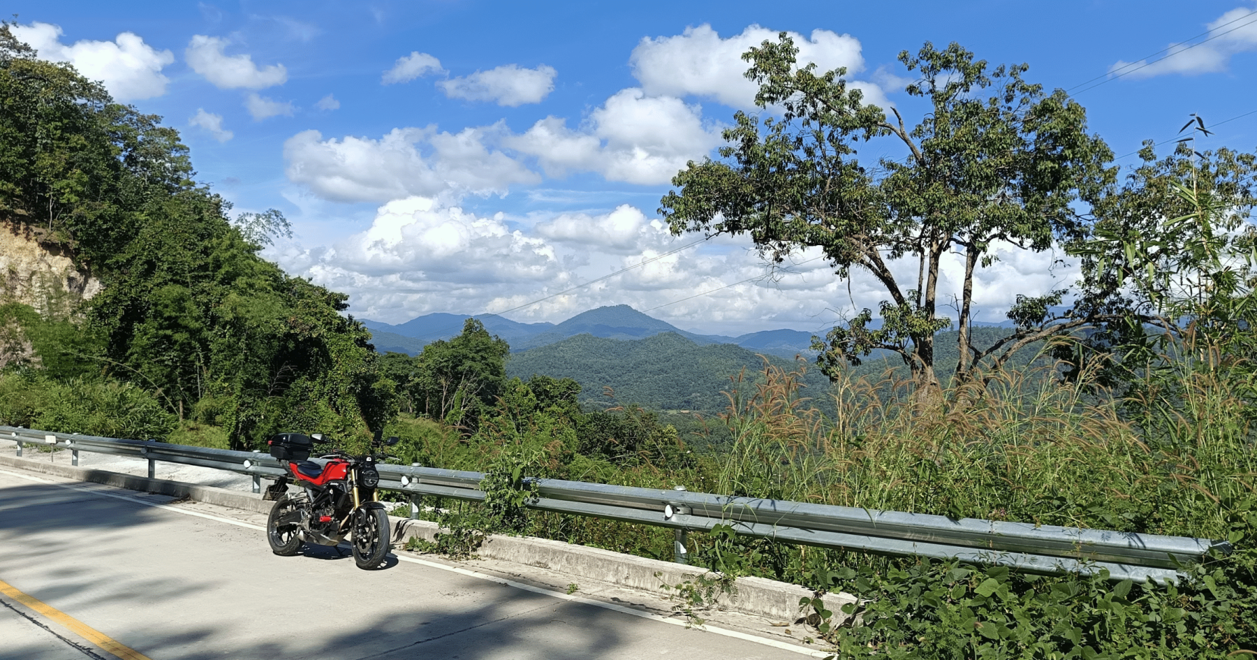
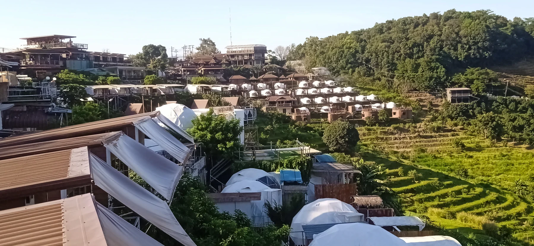
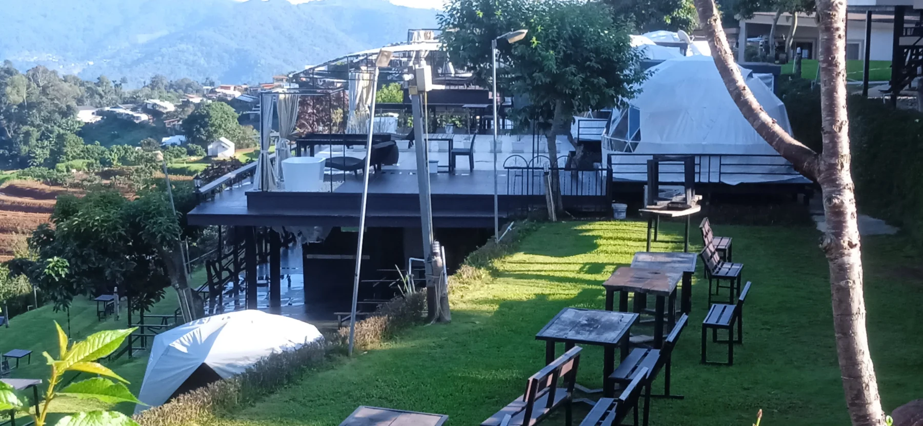
This road includes a steep 6 km climb to Doi Mon Jam (Doi is Thai for “mountain”) and the Hmong village of Nong Hoi. The area features stunning viewpoints, flower farms, and an abundance of tents and huts for accommodation, making it a hotspot for Thai Instagrammers. On clear days, the views are breathtaking.
Seasonal Considerations:
Avoid visiting during peak times such as New Year’s holidays, Chinese New Year, and Songkran. Traffic jams during these periods can stretch for kilometers. Outside of these times, especially midweek, the area is quieter and more enjoyable. Nighttime temperatures can be very cold, and accommodation prices drop significantly—from as high as 5,000 Baht in peak season to as low as 500 Baht in the off-season. The area also features numerous restaurants and coffee shops.
Ten years ago, this area was a modest village with a few greenhouses; 15 years before that, it was home to poppy fields. The transformation is part of a royal project aimed at sustainable development.
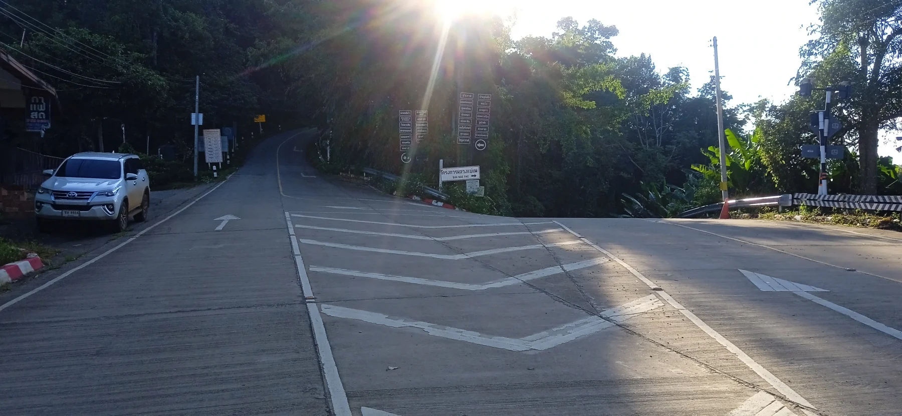
From the village, the R4051 descends steeply via a series of switchbacks for 7 km to Pong Yaeng and the R1096, the main Samoeng road. Ensure your brakes are in good condition and drive cautiously, especially during peak season.
Once you reach the R1096, turn left and follow the road for about 15 km down to Mae Rim through the Mae Sa Valley. Along the way, you’ll pass several tourist attractions, including the Queen Sirikit Botanical Garden and Mae Sa Elephant Camp. The Mae Sa River, to your right, is lined with high-end restaurants and cafes where you can relax with a meal or a drink to end your day.
At the end of the R1096, you’ll rejoin the R107, which will take you back to the North Gate in Chiang Mai in approximately 20 minutes, depending on traffic.