The Mok Fa Loop
 Hans Ostertag
left for contents
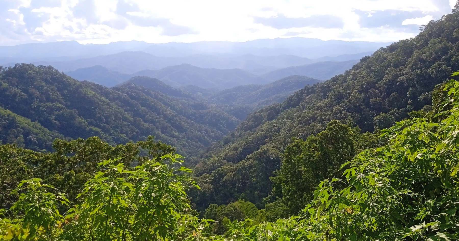
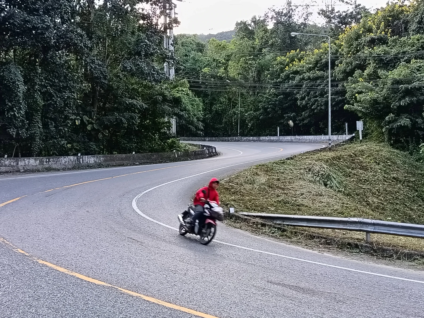
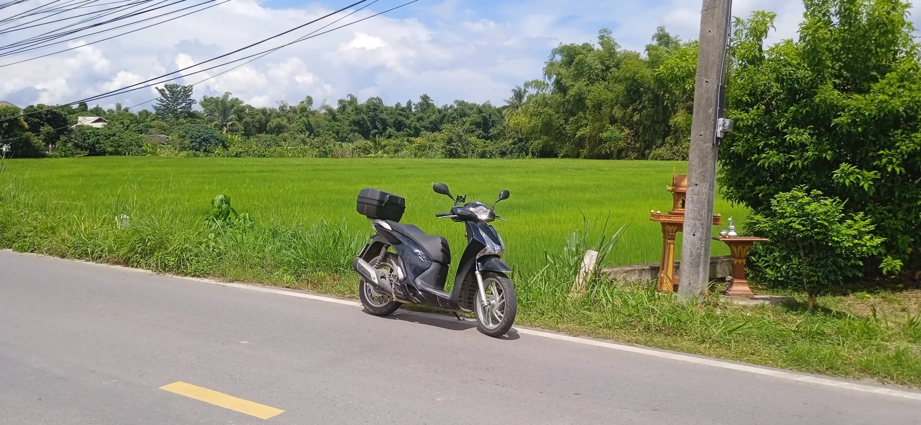
This tour begins as a typical “let’s go see a waterfall” trip. While Mok Fa Waterfall is stunning, the real adventure starts after the visit! The route takes you up steep, narrow concrete roads to several Hmong villages—a true backroad experience. Between two villages, there is a 5 km dirt road section through the jungle. While not too difficult for experienced riders, you’ll need to know your way around two wheels. During the wet season, this stretch is impassable on scooters or CBR sports bikes.
You won’t find English signposts, fluent English speakers, or convenience stores like 7-Eleven here. After completing this adventure, the route leads back to Mae Rim on the scenic R3009 “rice paddy road,” then along Highway 107 to the city.
Tags:
- Waterfall
- Cake and Coffee
- Nature
- Adventure
- Off-road
- Hill Tribe Area
- Rice Paddies
Tour Details:
- Route (via Google Maps): 107 → 1095 → 4075 → 3009 → 107
- Road Conditions: A mix of good asphalt roads, concrete roads (some in poor condition), and a 5 km dirt road
- Distance: Approximately 115 km
- Driving Time (without stops): 3.5 hours
- Tour Map: Google Maps Link
Itinerary
Starting Point:
The tour begins with a 35 km ride north along the busy R107 to the Mae Malai 107/1095 junction. Once past Mae Rim, traffic decreases, making the ride more enjoyable.
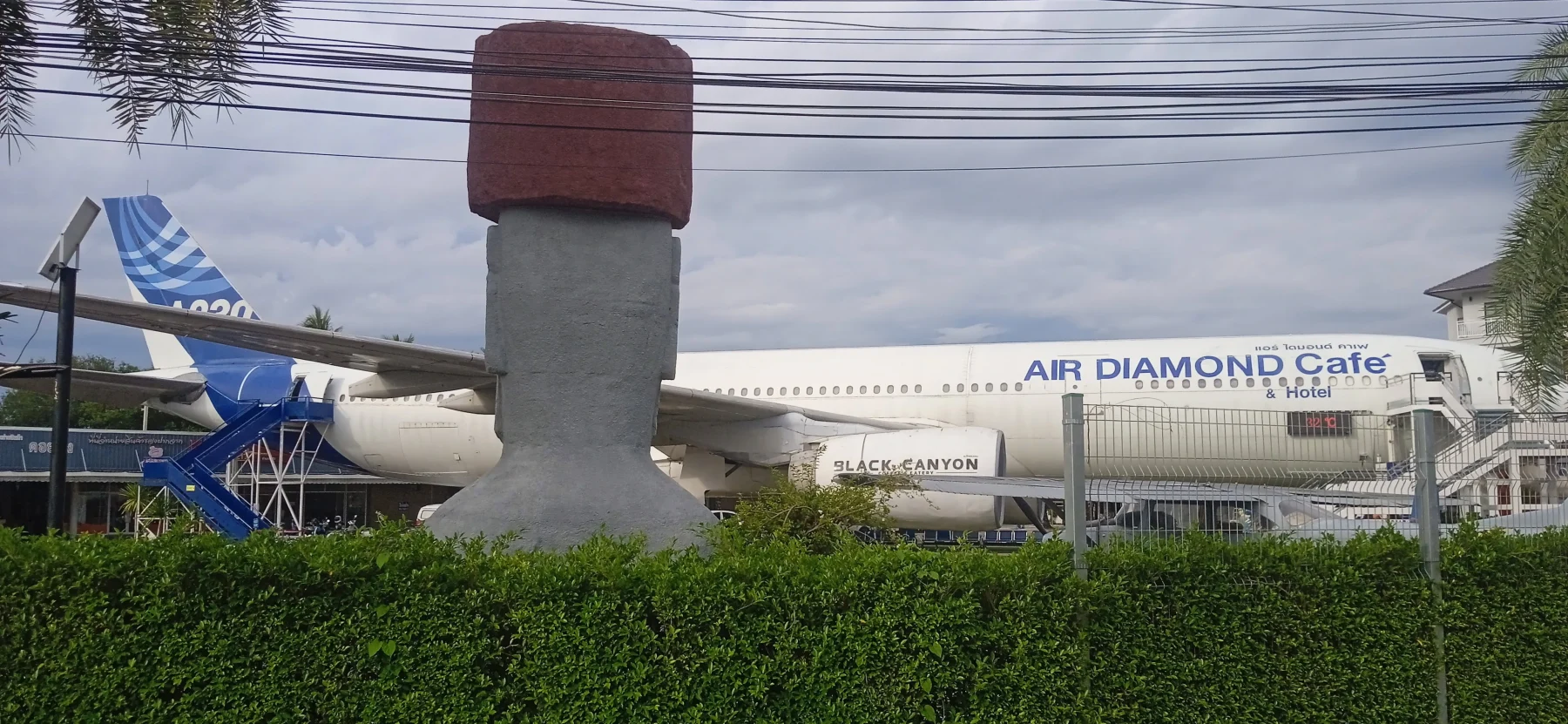
At the junction, you’ll find the first “tourist attraction,” the Air Diamond Café—a decommissioned Airbus parked in a large lot. Admission costs 100 Baht, and coffee inside is pricey. While a bit unusual, it’s a popular Instagram hotspot.
Turn left onto R1095. This road is part of the renowned Mae Hong Son Loop, a bucket-list route for serious bikers. It also serves as the main road to Pai, one of northern Thailand’s top tourist destinations.
Just 2 km along R1095, you can make a quick detour to Happy Farm, which is especially beautiful when its flowers are in full bloom.
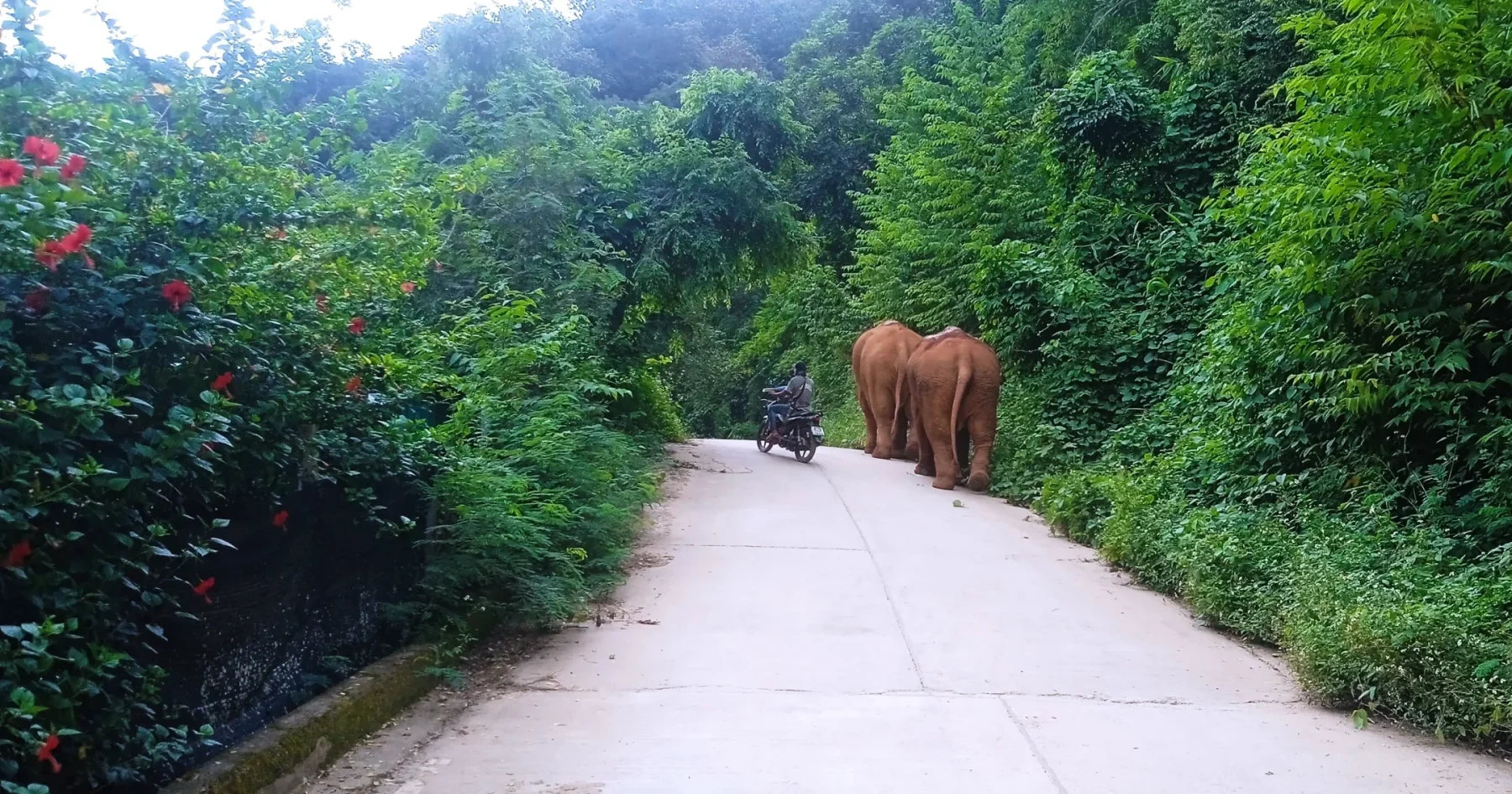
The road then climbs into the mountains, passing through a few villages. Take the right turn onto R3052, which leads to Sob Guay and the elephant camps (see The Sob Guay Loop for details).
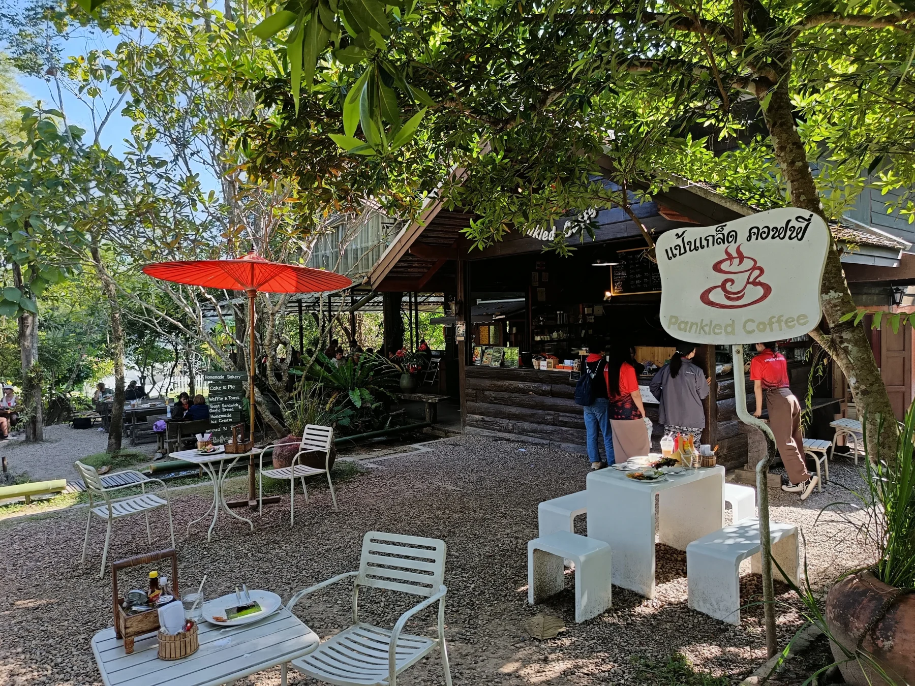
At 20 km: Look for a signposted left turn onto R4075 toward Mok Fa Waterfall. On this corner is Pankled Coffee, renowned for its exceptional homemade cakes. It’s a popular stop, but the delicious cakes and tranquil surroundings make it worthwhile.
Follow the signposts along R4075. After 1–2 km, you’ll find the parking lot for Mok Fa Waterfall. Admission is 100 Baht, and a short jungle hike leads you to the waterfall.
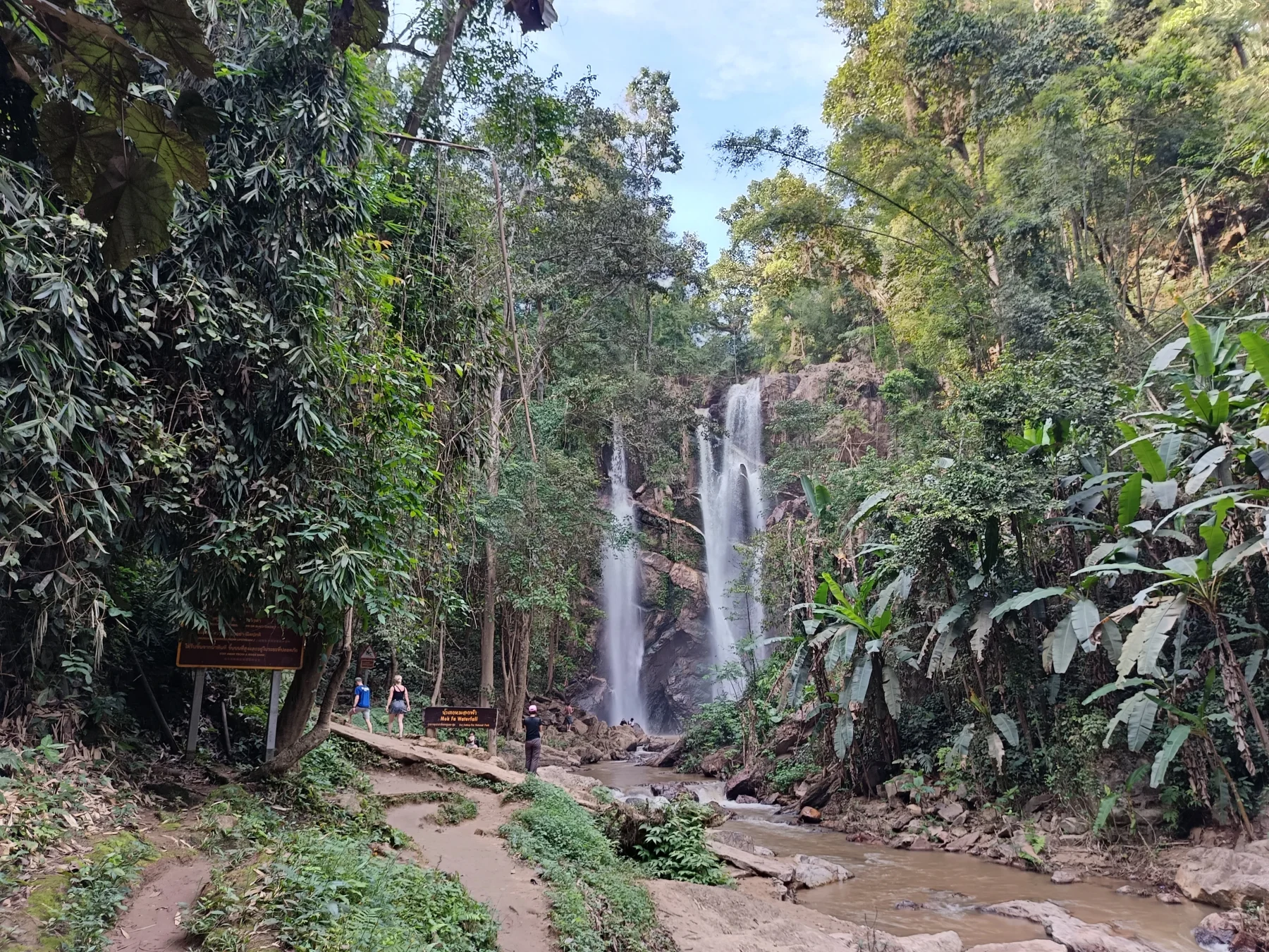
Mok Fa Waterfall:
The waterfall is stunning, easily accessible, and a favorite spot among visitors. Expect crowds during peak times.
Post-Waterfall Options
After enjoying the waterfall, you have three options:
- Return the way you came.
- Continue along R1095 toward Pai.
- Embark on the adventurous backroad route.
For the backroad route:
Continue up R4075 along a steep, narrow asphalt road. At Mae Lot village, the asphalt transitions to a decent concrete road.
Key Turn:
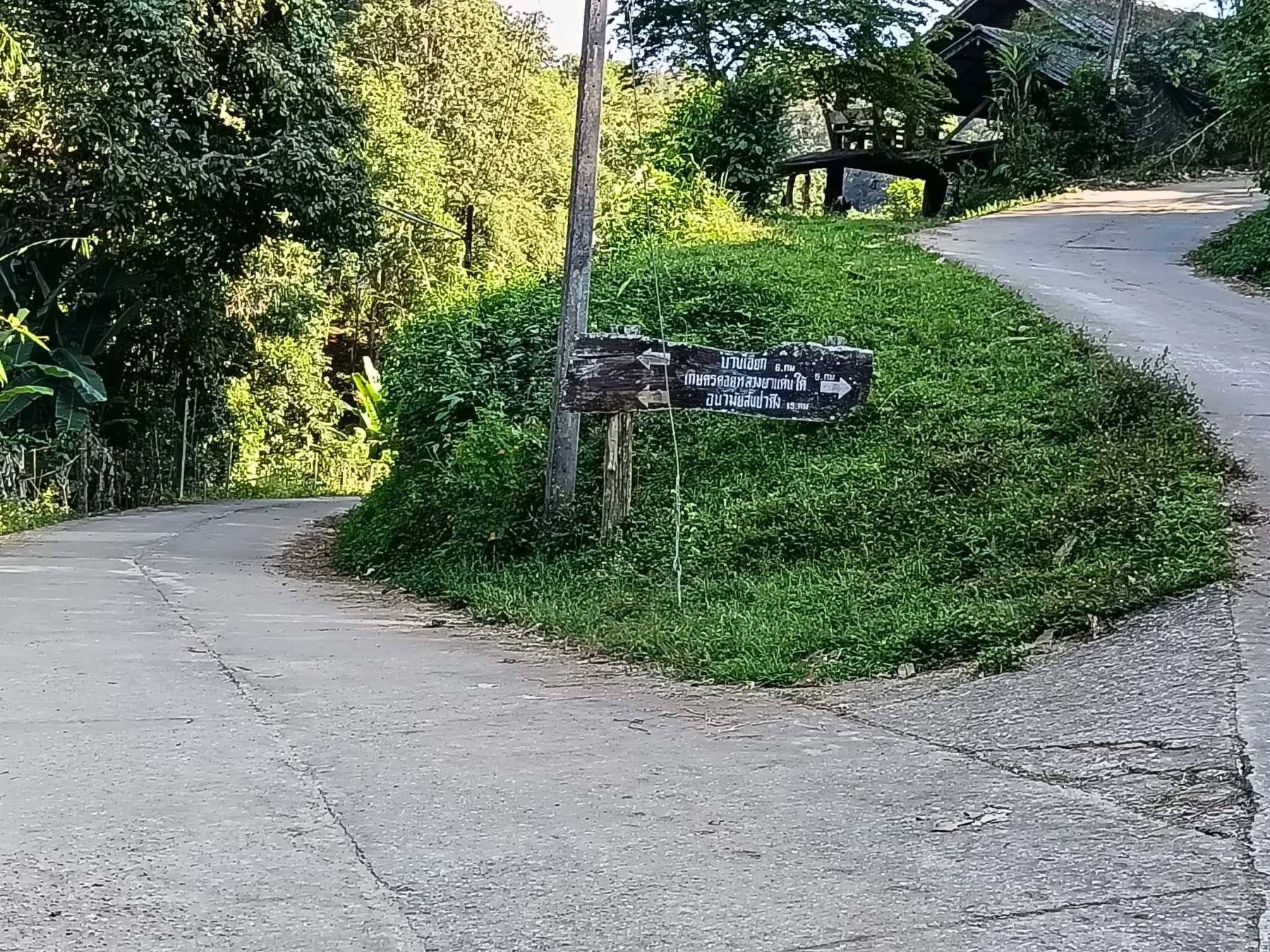
Watch for a sharp left turn—easy to miss—about 7 km past the waterfall. This leads to Pa Den village, nestled amidst lush greenery.
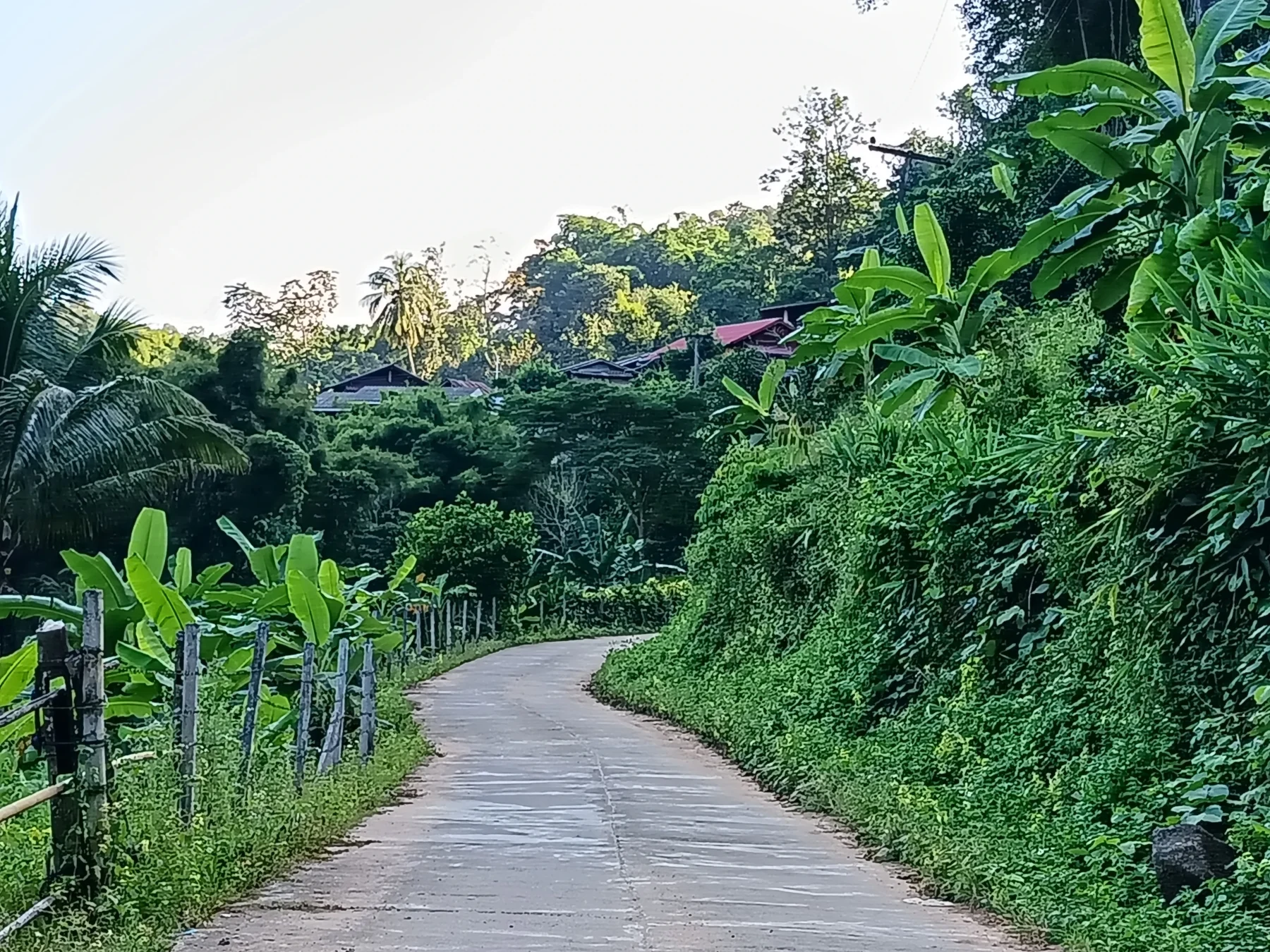
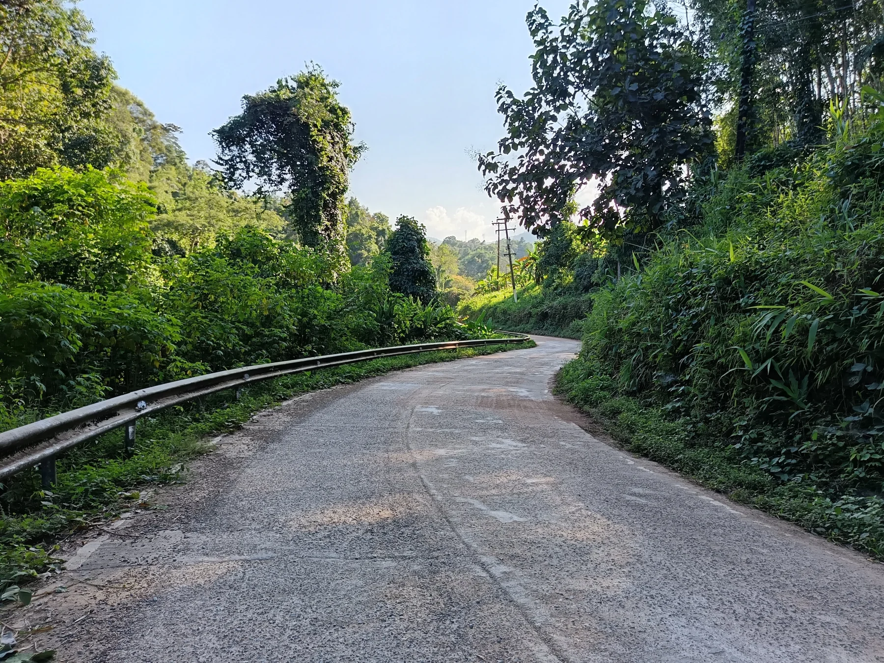
Beyond Pa Den, cross a bridge where the road quality worsens. Stay left, and the sealed road soon gives way to dirt.
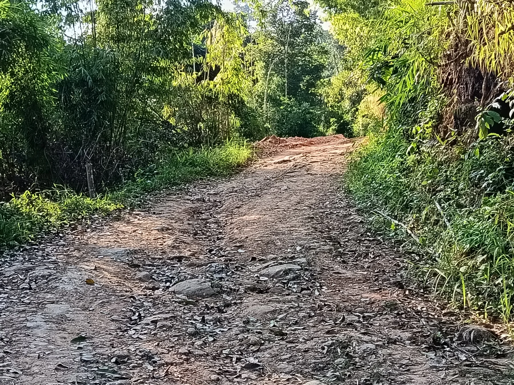
The 5 km Dirt Road Section:
The dirt road follows the Mae Rim River for approximately 5 km until it approaches Ban Jak village. While not overly difficult for experienced dirt bikers on a CRF or KLX, this section is challenging for beginners or those riding automatic scooters, especially with passengers or unsuitable footwear.
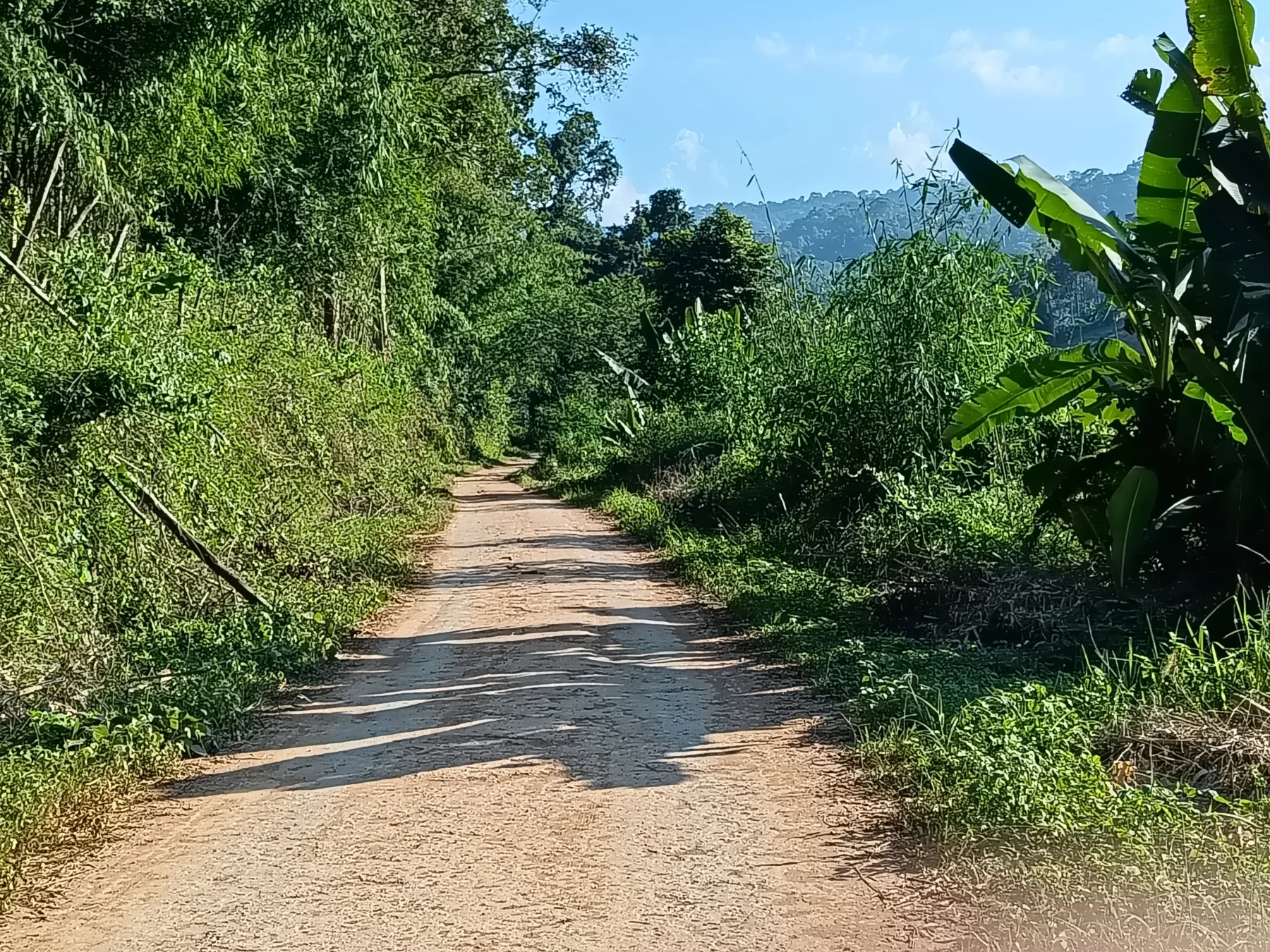
Trail Conditions: The trail begins relatively smooth but becomes rougher as you progress.
1 km before Ban Jak, the road becomes sealed again. At the village, turn left and follow the road downhill for an easy 10 km ride to the R3009 junction.
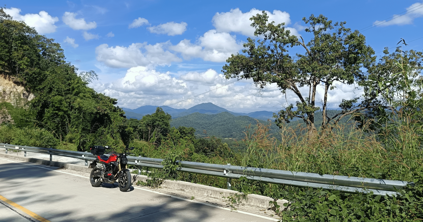
Scenic Ride Along R3009
At the R3009 junction, turn right for a picturesque 15 km ride on the “rice paddy road.” This winding road passes through villages along the Mae Rim River, the same river you followed earlier in the jungle.
If you’re eager for more riding, turn right at the junction and travel 20 km to Wat Phra Phutthabat Si Roi (see The Phra Phutthabat Si Roi Ride for details).
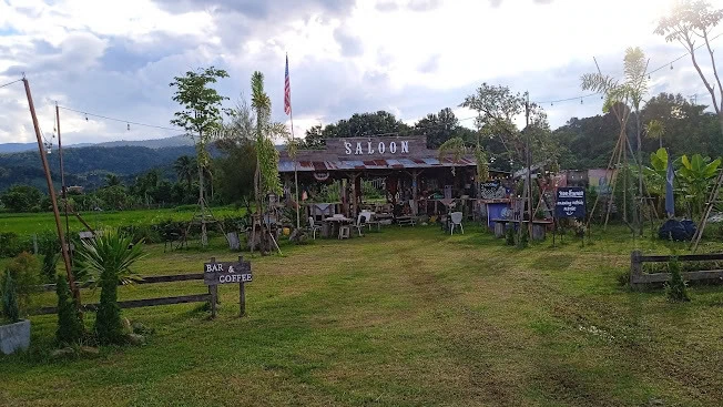
For a relaxing stop, head 2 km to The Saloon, where you can enjoy a bourbon or Scotch and reflect on your adventure. (Remember: No drinking and driving. The return journey includes 15 km of heavy traffic.)
Return to the City
At the end of R3009, you’ll meet Highway 107 at Mae Rim Market. Turn right and ride 15 km through busy traffic back to the city.