The Ban Khum Loop
 Hans Ostertag
left for contents
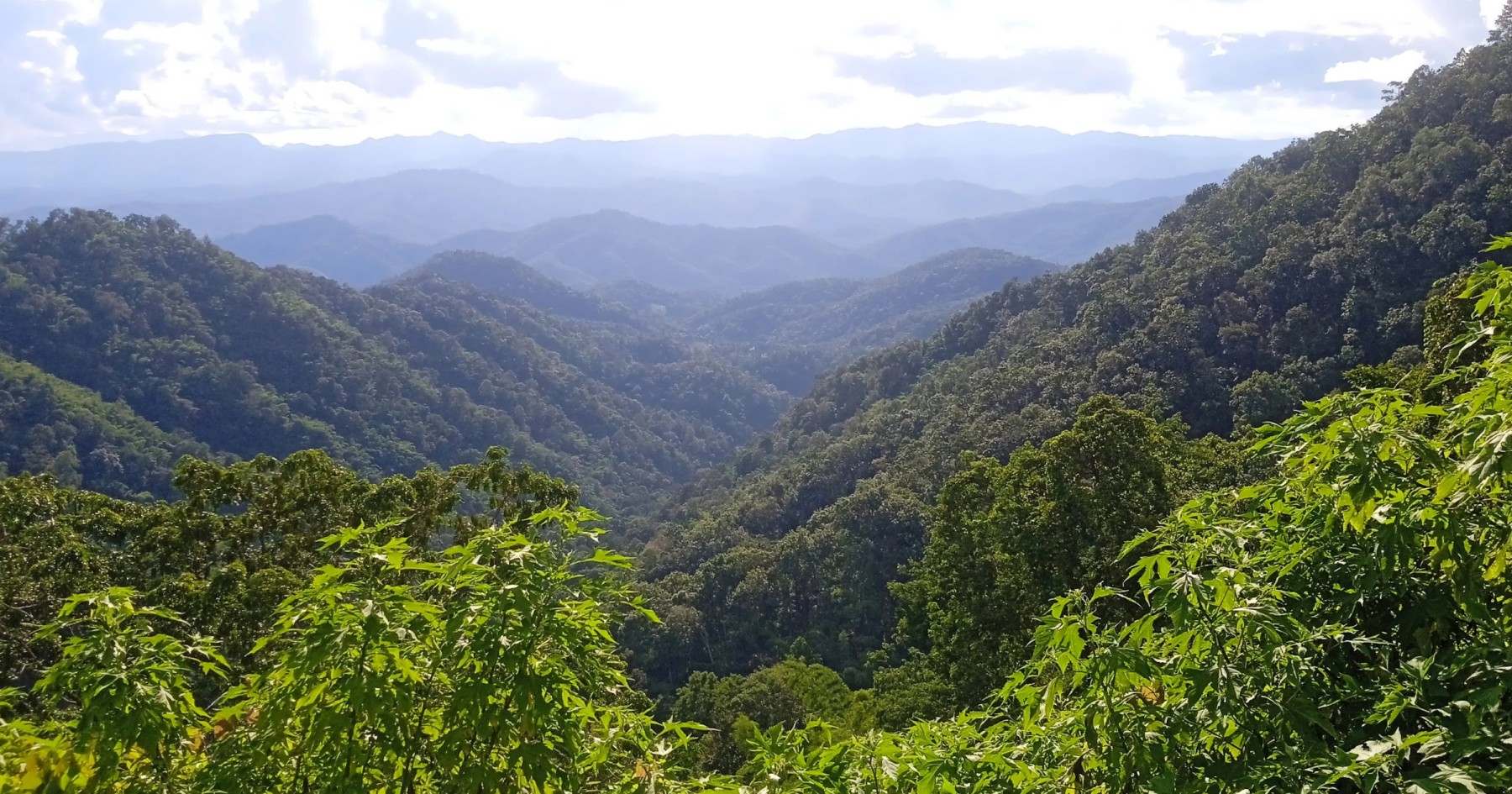
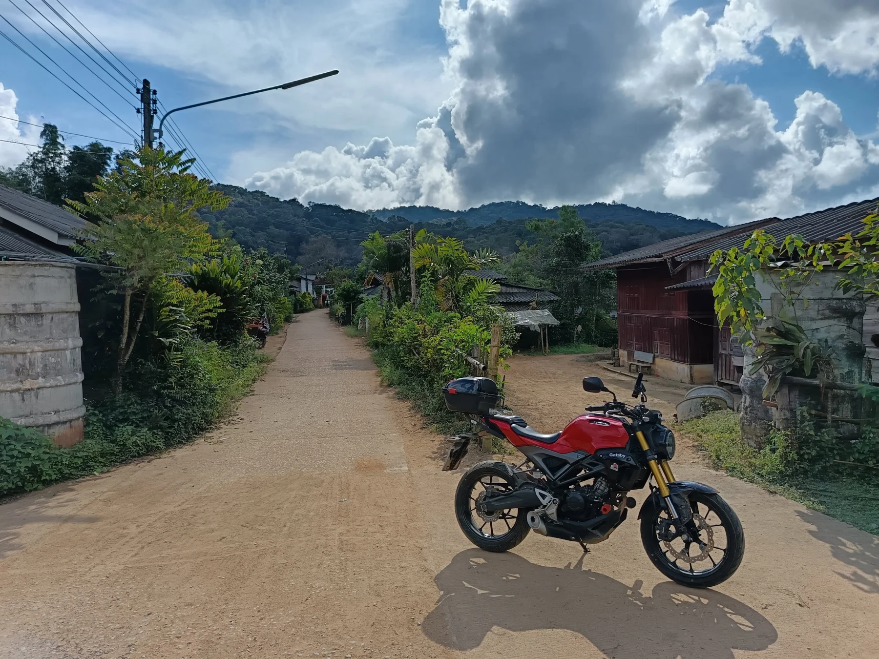
The Ban Khum Loop is the longest of the extended Samoeng loops, offering a full-day adventure on mostly backroads that take you deep into the hill tribe areas northwest of Samoeng. Beyond Samoeng, English speakers are rare, and most signposts are in Thai script. The route features a variety of road conditions, including a short 5 km section of easy dirt road. The highlight is the steep climb to Ban Khum, a large Karen village situated at 1,250 meters ASL, rarely visited by Westerners. This area is a near-perfect definition of Shangri-La.
Tags:
- Nature
- Hill Tribe Area
- Backroads
- Non-Touristic
- Adventure
Tour Data:
- Route Numbers (per Google Maps): 108 – 1269 – 1349 – 4021 (4043 on road signs) – unknown roads – 4067 – 1349 – 1096 – 107
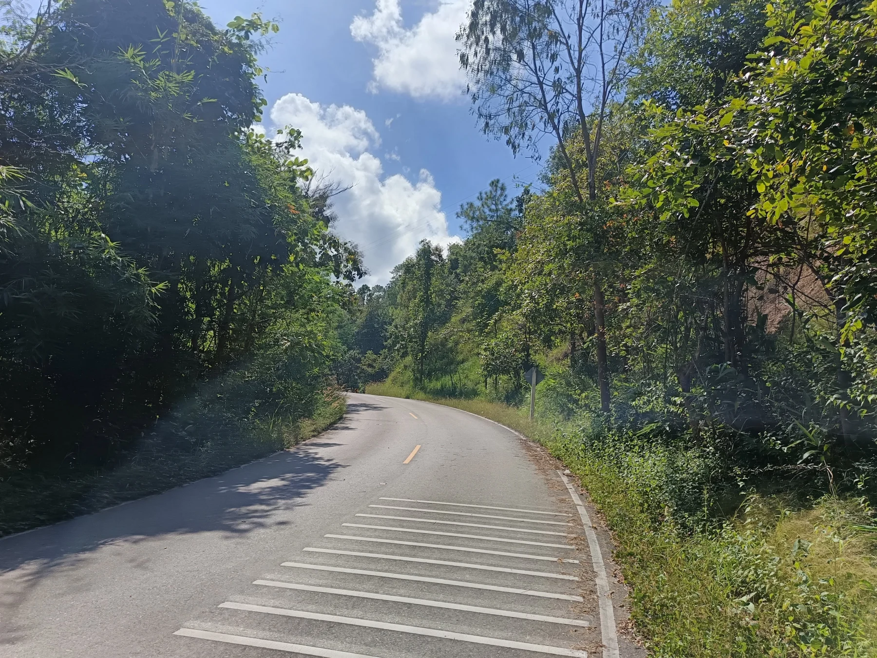
- Road Condition: A mix of asphalt, concrete, and a 5 km flat dirt road
- Distance: Approximately 180 km
- Driving Time (without stops): 5–6 hours
- Tour Map: Google Map Link
Directions and Highlights
Starting Point:
Begin at the R108 junction outside the moat at Chiang Mai’s South Gate.
To Samoeng:
Take the southern leg of the Samoeng Loop (R1269) to reach the Yentafo Yok Lo restaurant in Samoeng. While this leg is part of the loop’s warm-up, it’s an enjoyable ride in itself (see The Samoeng Loop). For tourist attractions like the King Cobra Show, Shooting Range, or Siam Insect Zoo, consider the northern leg (R1096) from Mae Rim. However, the southern leg offers a quieter and more scenic experience.
From Samoeng to Tung Ting:
- Exit Samoeng on R1349.
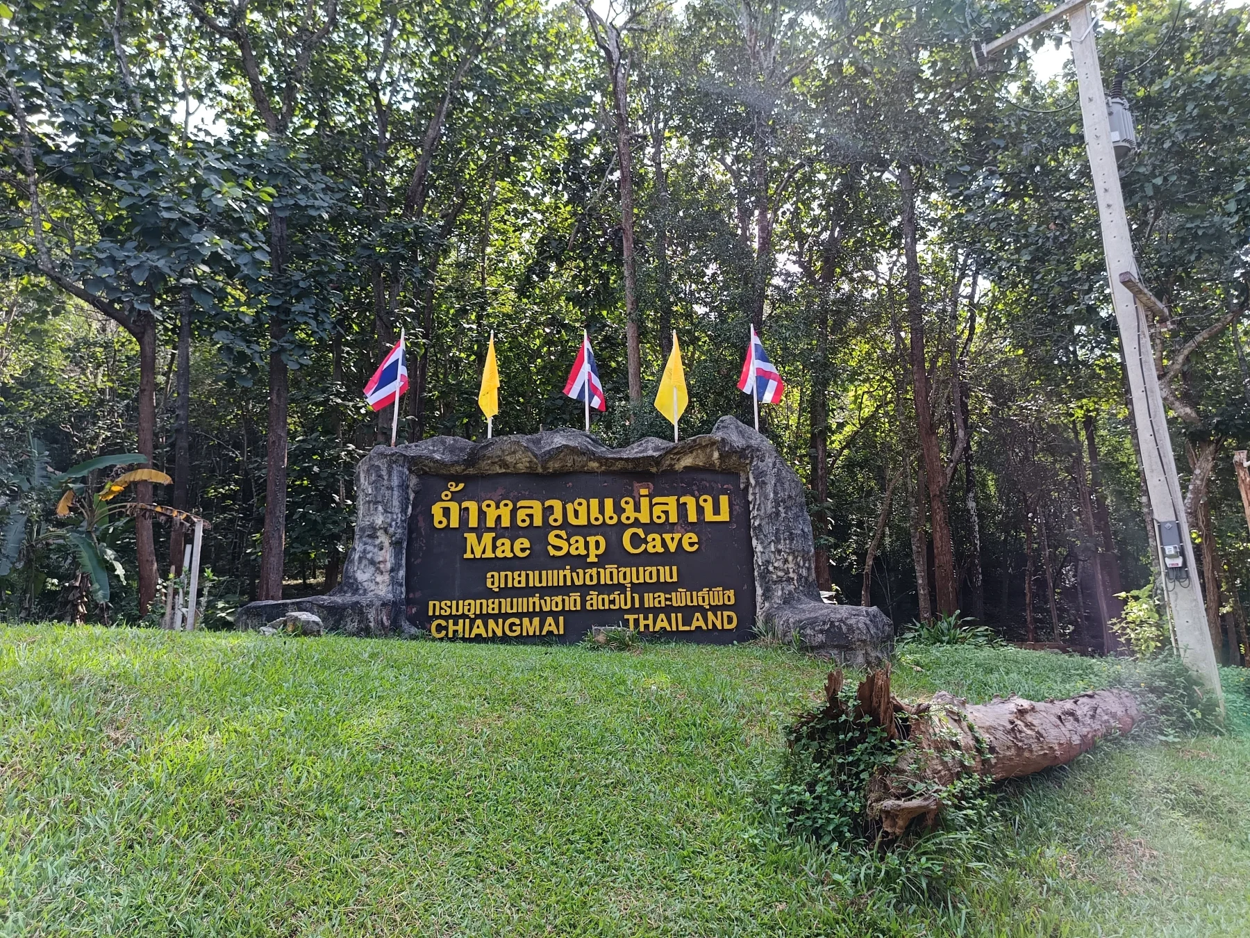
- After 3 km, visit Mae Sap Cave (entry fee: 140 Baht, headlamp included).
- Continue 2 km further and proceed straight onto R4043 (marked as R4021 on Google Maps).
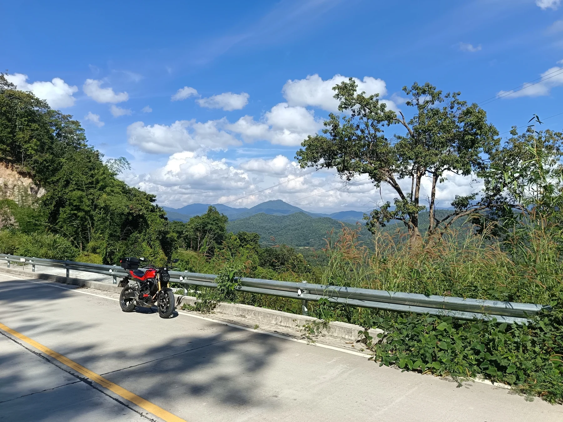
The road winds through Wat Kong Khak Noi and a pass at 900 meters ASL. After the pass, enjoy a great viewpoint before descending into Ban Mae Sap.
The route then climbs again to Tung Ting, about 20 km from the R1349 turnoff.
Tung Ting to Ban Khum:
- In Tung Ting, take the left turn to Ban Kung Saab, and then climb steeply to Ban Khum.
- Pass through Thung Yao village, and after 3 km, turn left toward Khun Saab. Follow the valley road for another 3.5 km.
- Turn left at a house and cross a stream. The next 1 km leads through a bamboo forest before transitioning to a narrow but good concrete road.
The climb to Ban Khum is steep, gaining 500 meters in just 3 km. In the wet season, this section can be dangerous as the road becomes a river during downpours.
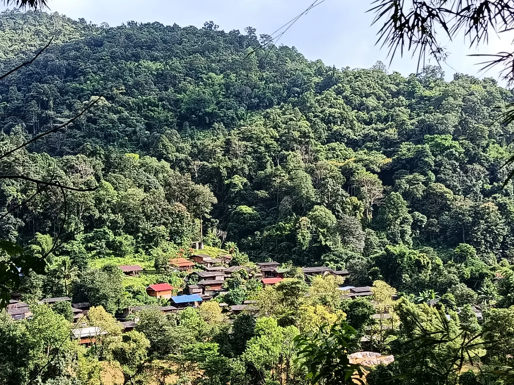
In Ban Khum:
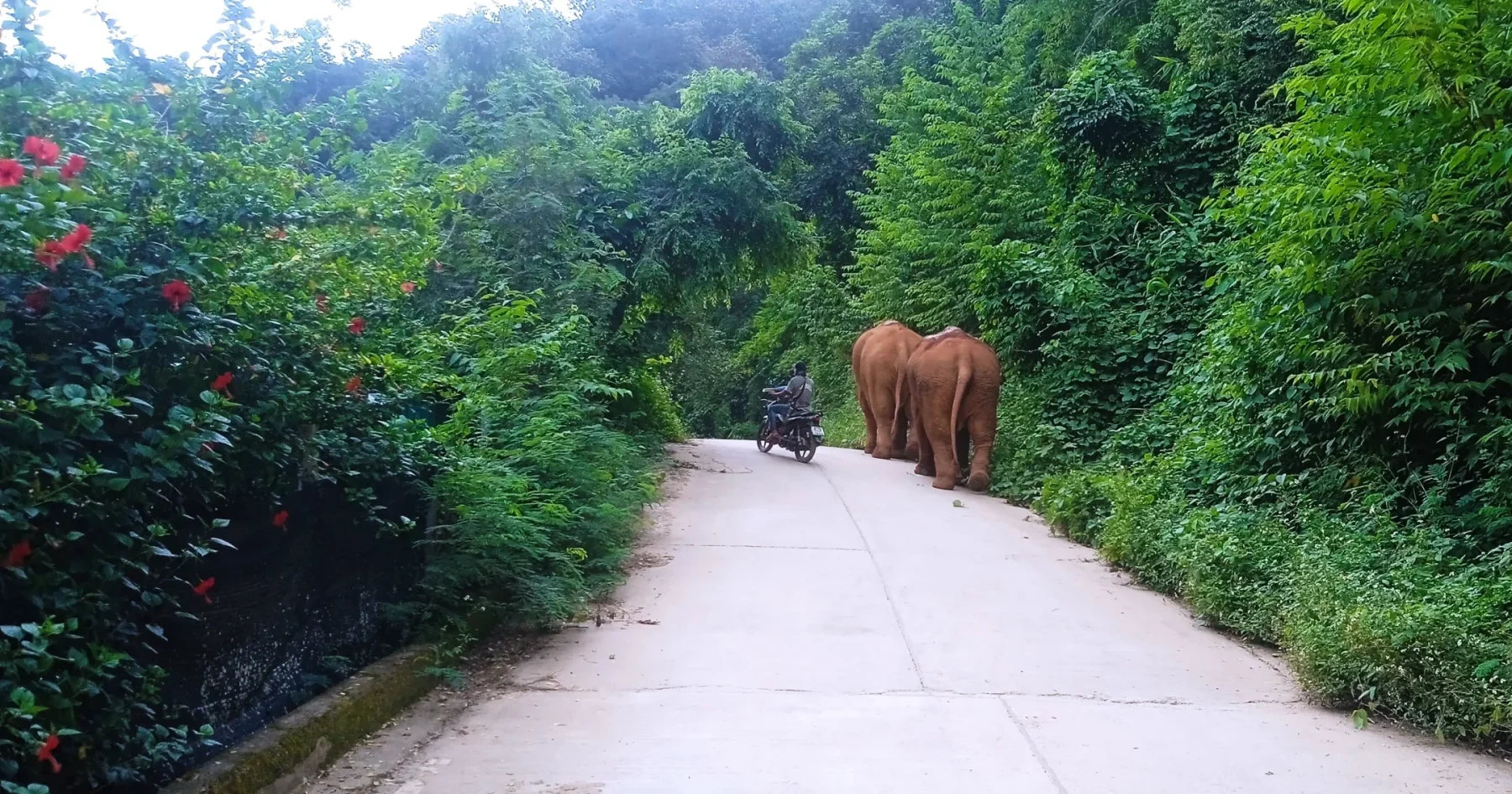
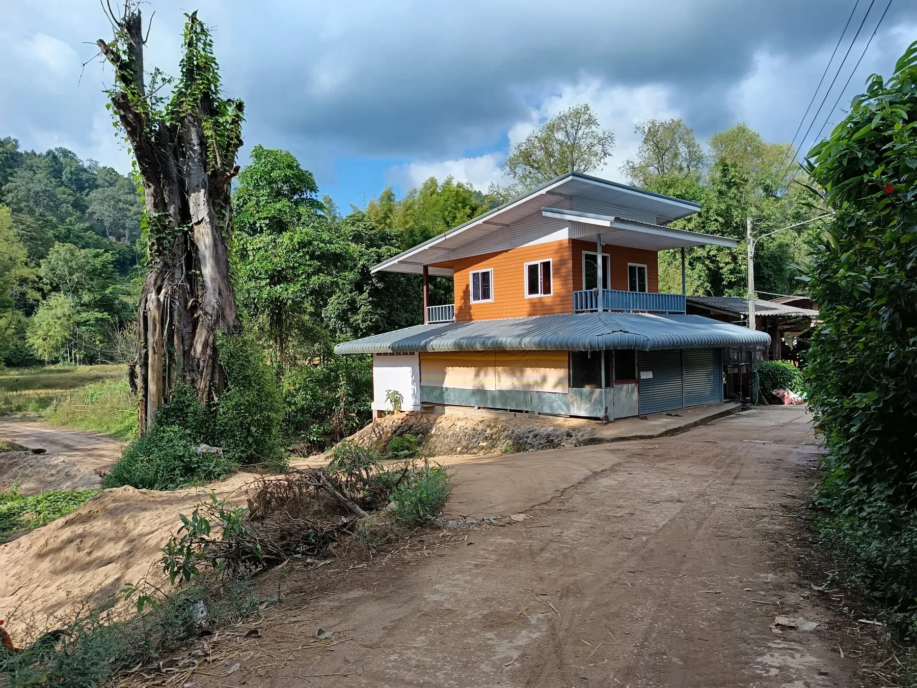
This large Karen village is located at 1,250 meters ASL. Upon entering the village, turn right, then left to reach the central shop and gasoline station. This is a great spot to take a break, enjoy a drink, and observe village life. Communication may be challenging as English is not spoken, but the experience is still rewarding.
Ban Khum to Mae Wae and Ban Yang Moen:
- Exit Ban Khum and descend a winding road through lush greenery to Mae Wae, a picturesque village in the mountains. Most houses are wooden, and English is not spoken here.
- From Mae Wae, keep right at the fork and follow the road for 8 km to Ban Yang Moen.
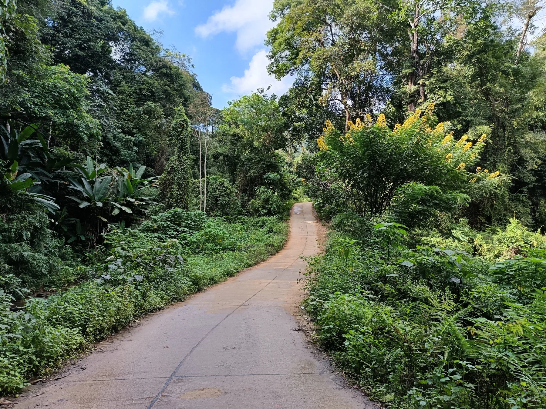
This stretch includes a 5 km dirt road section, which is relatively flat and not difficult. At Wat Yang Moen, join R4067.
R4067 to Samoeng:
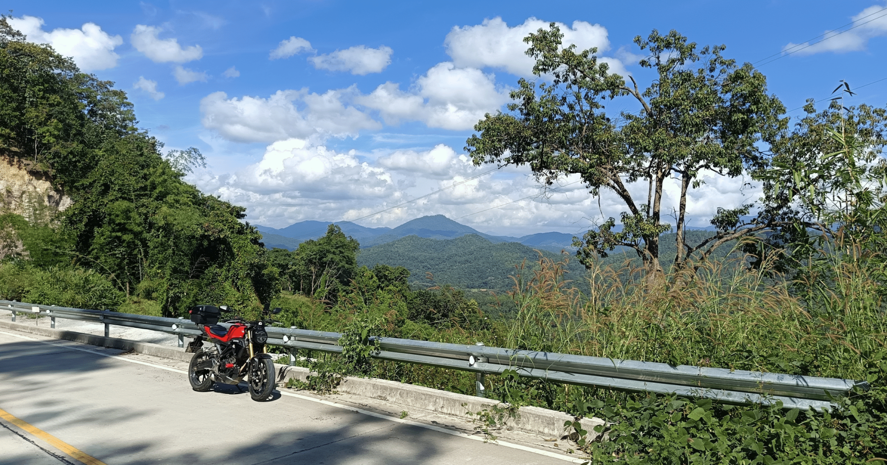
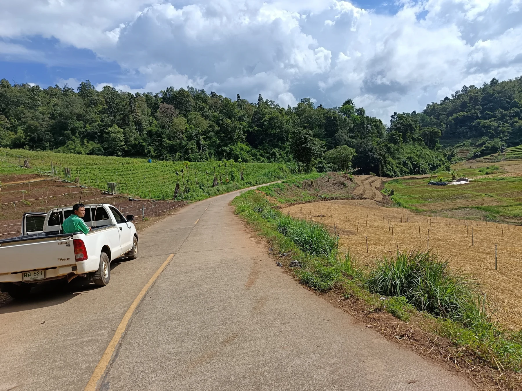
Turn left onto R4067, a newly sealed road as of 2023, and follow it for 25 km through forest, rice paddies, and vegetable fields along the Mae Khan River valley. Along the way, you’ll cross one mountain pass and pass through three small villages. Traffic is minimal—expect to encounter only a handful of vehicles.
At the R4067/R1349 junction, turn left. From here, it’s a 15 km descent to Samoeng.
Returning to Chiang Mai
From Samoeng, you can choose one of two routes back to Chiang Mai:
- Southern Leg (R1269): A quieter and more scenic option.
- Northern Leg (R1096): Features more attractions and busier traffic.
Both routes cover about 50 km and offer a fitting conclusion to a full day of adventure.