Chiang Dao Cave and Muang Khong
 Hans Ostertag
left for contents
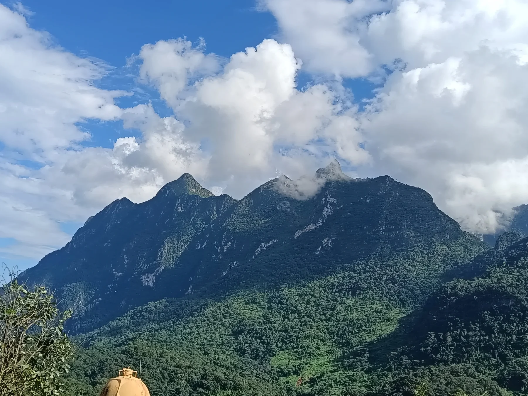
This tour takes you north into Chiang Dao District, home to Doi Chiang Dao, Thailand’s third-highest mountain (2,275 m) and arguably its most stunning. The journey follows the picturesque Ping River and features a visit to Chiang Dao Cave, a significant attraction at the mountain’s base. A newly paved road (as of 2023) loops around the mountain, leading to the Karen village of Muang Khong. While the road is now smooth, it remains steep in places. During the wet season, landslides can render it impassable for days.
Because the total distance is substantial (65 km each way to the more scenic sections), consider an overnight stay near the cave or in Muang Khong.
Tags:
- Cave
- River
- Mountain Road
- Mountain View
- Nature
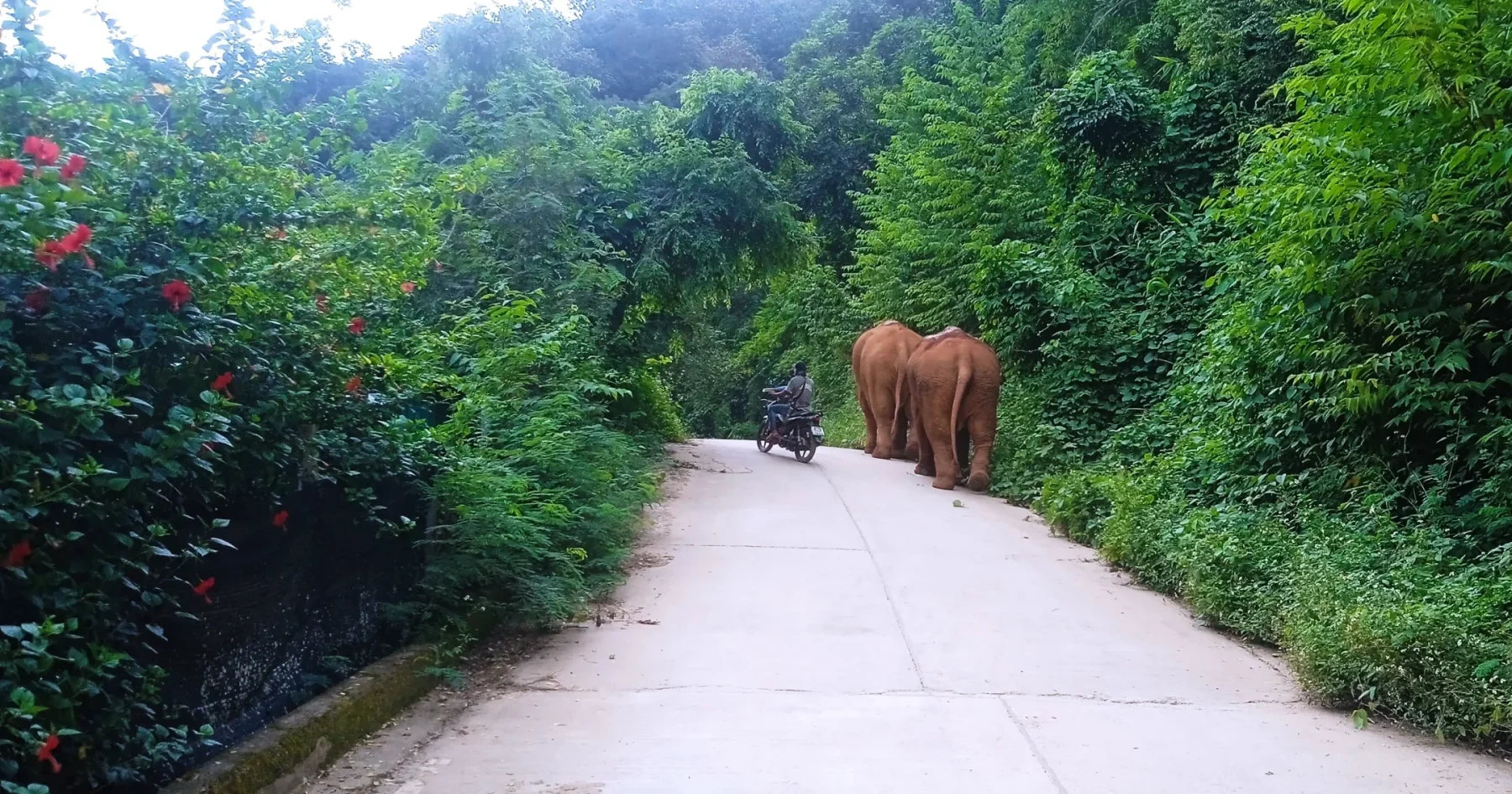
- Hill Tribe Area
Tour Details:
- Route (via Google Maps): 107 → 3024 → 107
- Road Conditions: Good asphalt roads throughout
- Distance: Approximately 220 km
- Driving Time (without stops): 6 hours
- Tour Map: Google Maps Link
Itinerary
Starting Point:
Head north along busy R107 toward Mae Rim and Mae Taeng. While the initial 40 km stretch is less scenic, you could take the “rice paddy road” (R3009 via Mae Rim and R1095 to Mae Taeng), which adds about 30 minutes to your journey but offers a more pleasant ride (see The Sob Guay Loop for details).
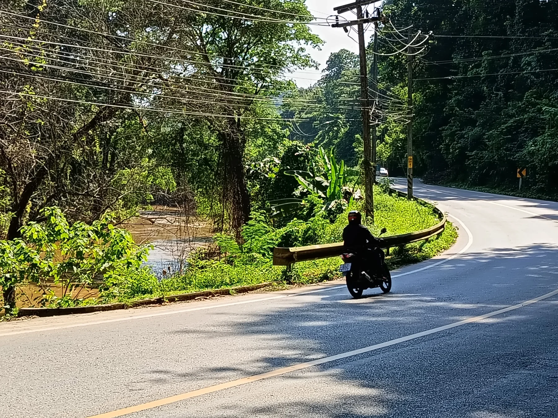
After Mae Taeng, traffic diminishes, and the road winds through a narrow valley along the Ping River, which appears more like a creek here than the river flowing through Chiang Mai City downstream.
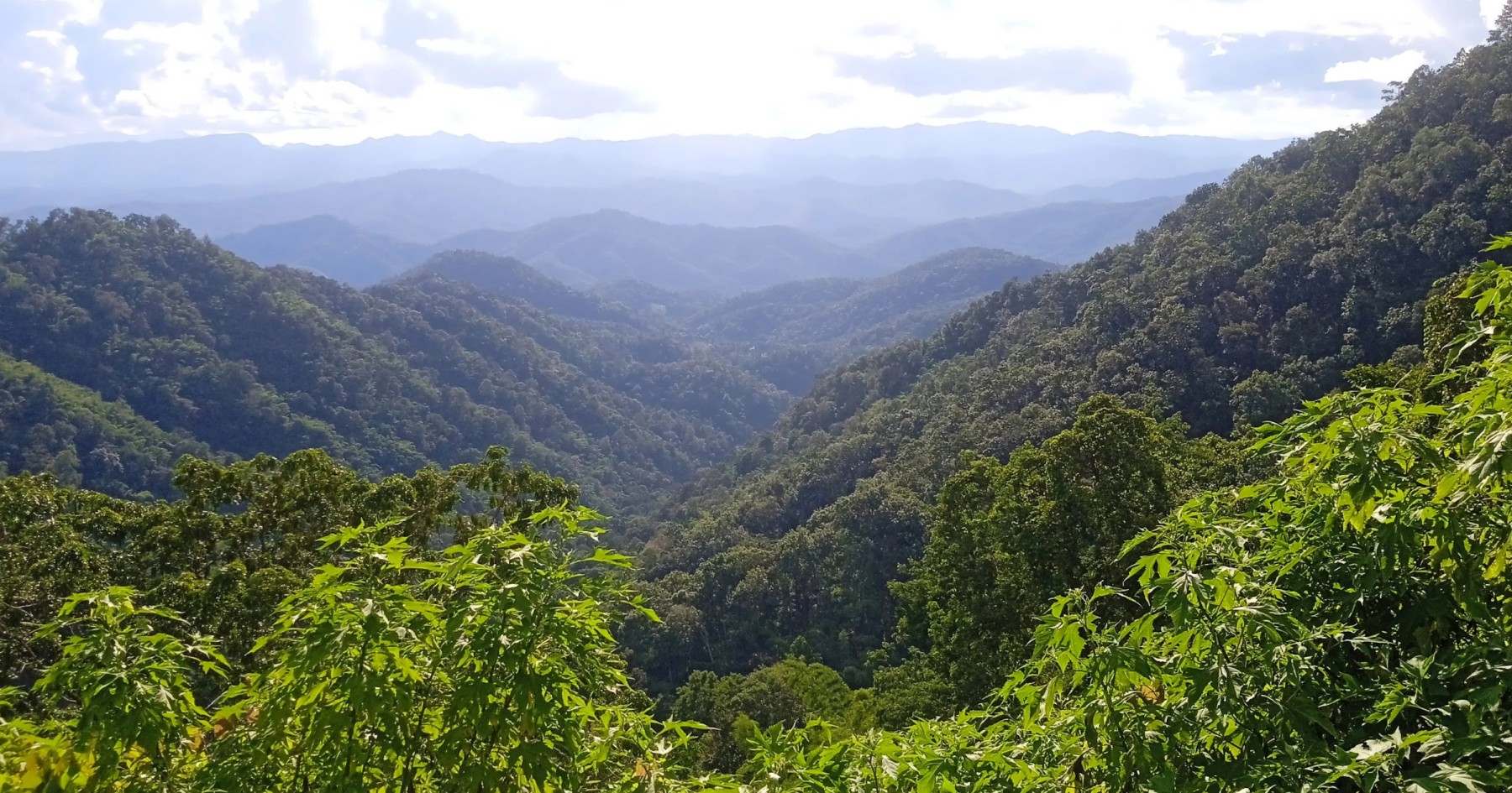
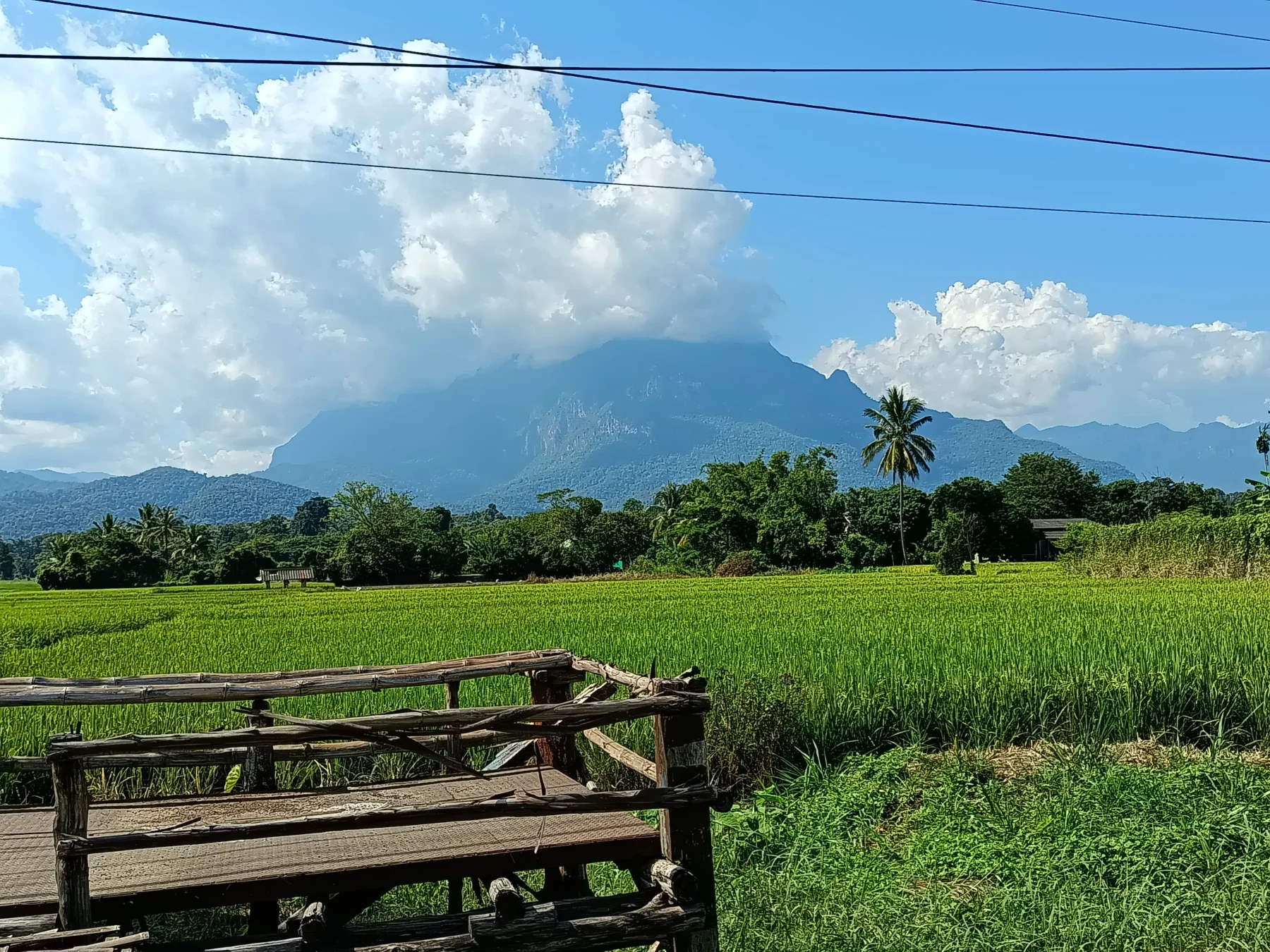
Shortly after a checkpoint, the valley widens, and Chiang Dao Mountain comes into view on your left. Its summit is often shrouded in clouds.
At the traffic light in Chiang Dao:
- Turn right to explore Chiang Dao Town, a typical small northern rural city.
- Go straight along the bypass road for 4 km, then turn left onto R3024.
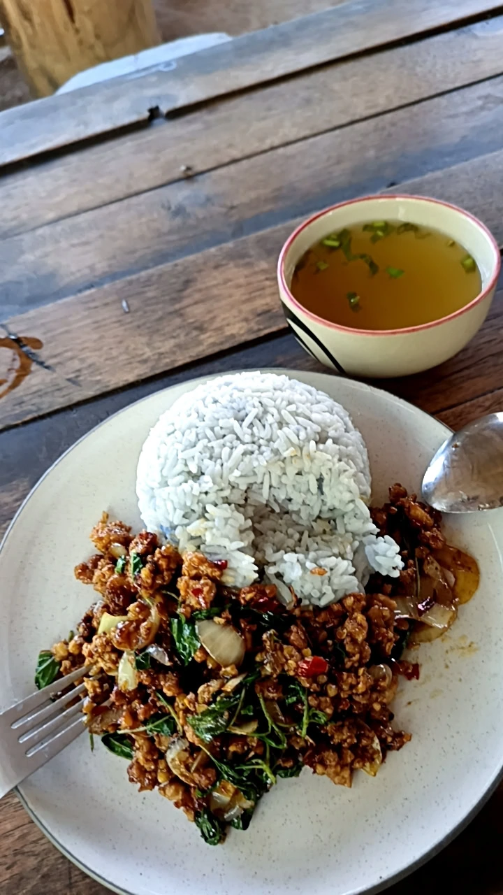
On this corner, you’ll find a local favorite restaurant with an English menu but limited English-speaking staff—great for a quick meal.
On R3024:
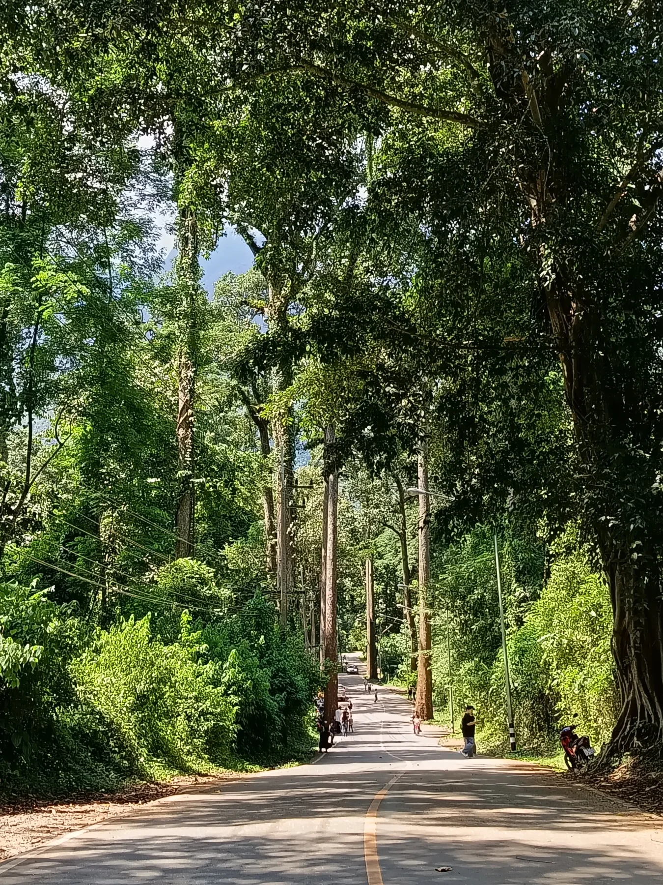
1–2 km ahead lies the Instagram-famous Giant Trees Alley, a 4 km stretch of towering trees. It’s a beautiful spot for photos—just watch for passing traffic while taking selfies!
Chiang Dao Cave:
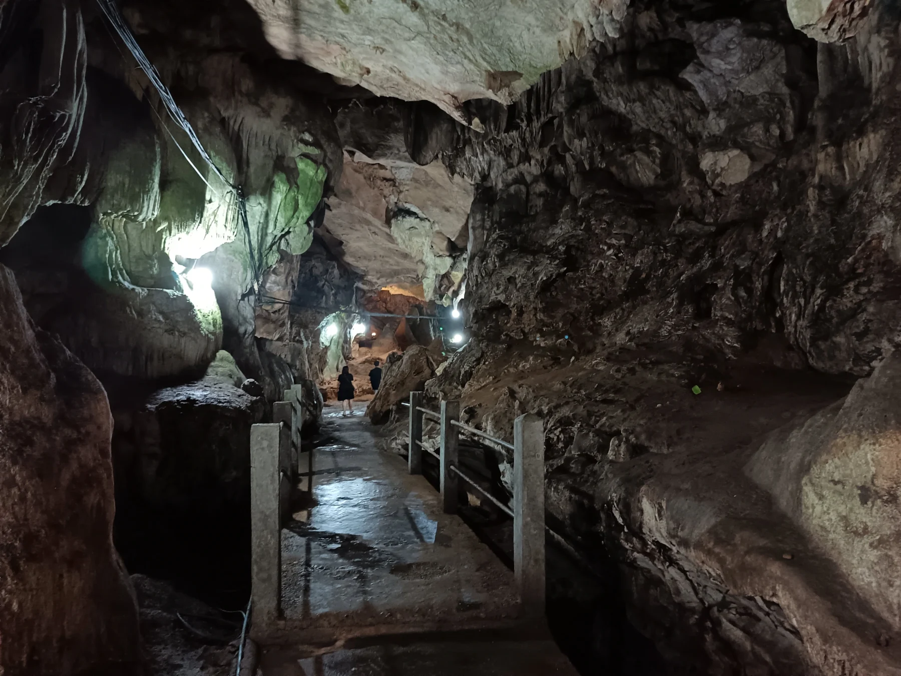
4 km after the junction, turn left to the cave entrance. Chiang Dao Cave is the most impressive cave near Chiang Mai City. Admission is affordable at 40 Baht for the 390 m illuminated section. For a full experience, hire a guide with a lantern (200 Baht) to explore the deeper, darker sections of the cave, as self-guided tours with flashlights are not permitted.
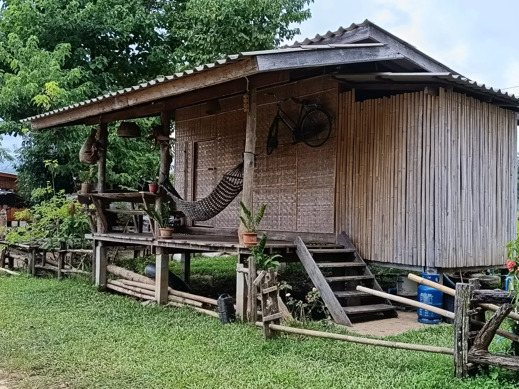
Nearby are several options for overnight stays, including:
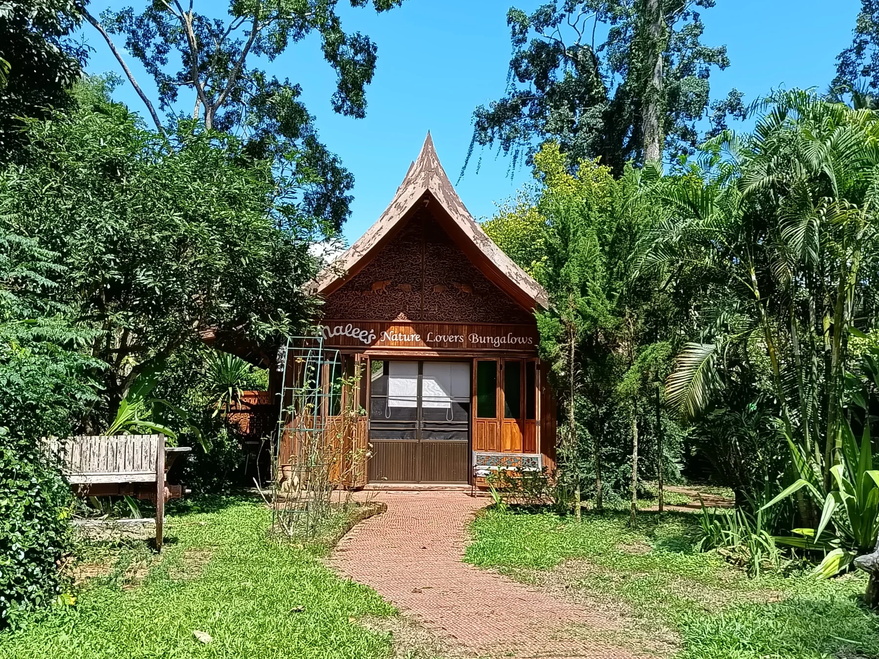
- Mallee’s Nature Lovers Bungalows: A long-standing favorite with a fitting name.
- Chiang Dao Nest (1 & 2): Popular accommodations with a great reputation.
- Doi Luang Scene: Known for its stunning mountain views.
Continuing the Route
From the cave, continue on R3024 for 3 km to the National Park checkpoint. Entry fees vary, but if you hold a Thai driving license, the fee is reduced to 40 Baht.
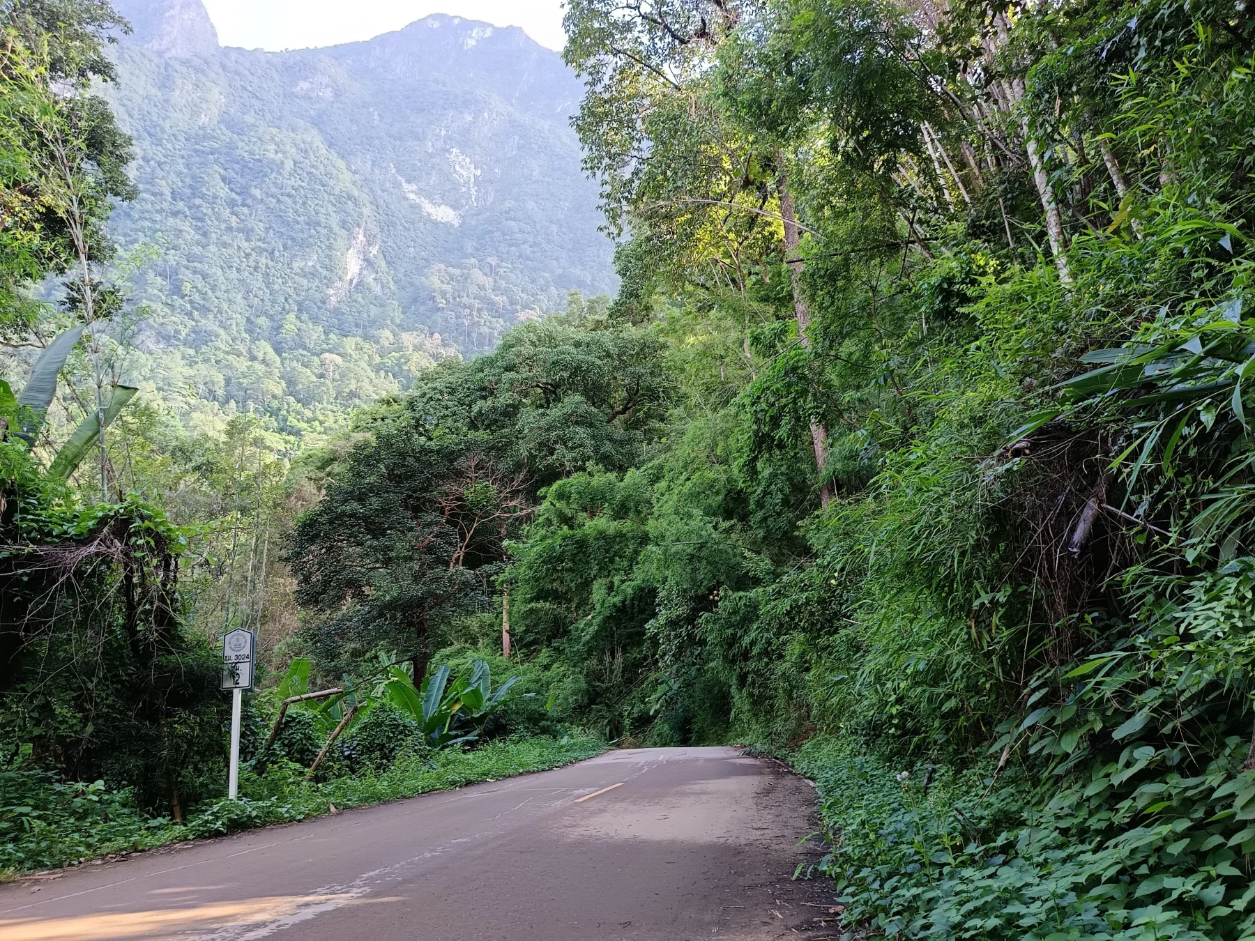
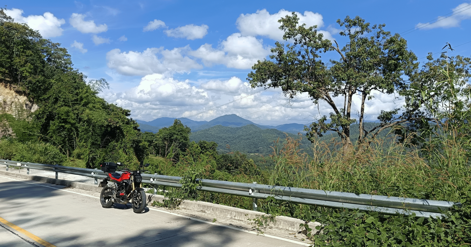
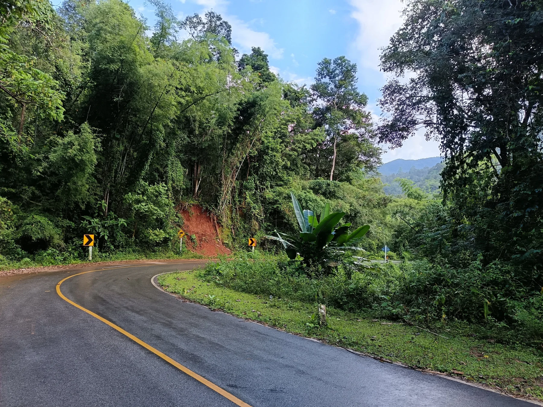
The road climbs steeply for about 10 km to a mountain pass at approximately 1,200 m above sea level.
Key Stops:
- Ban Na Lao Mai: A Hmong village with homestays and the best viewpoint at a local café. Enjoy stunning views of the backside of Chiang Dao Mountain.
From the viewpoint, descend steeply for 10 km to the Mae Pa Sao River (700 m above sea level). The route then ascends another 10 km over a 1,000 m high pass through lush jungle before reaching Muang Khong.
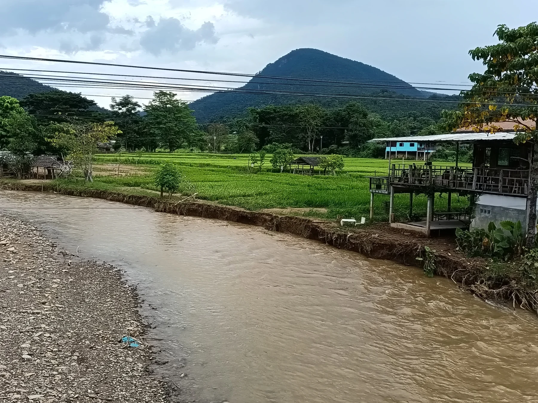
Muang Khong
Muang Khong is a surprisingly large Karen village situated in a spacious valley at the confluence of the Mae Taeng and Khong rivers. The village offers simple homestays for a unique cultural experience.
Recommended accommodations:
- Pumpkin Guesthouse
- Hug Muang Khong: Located along the riverbanks.
Important Note:
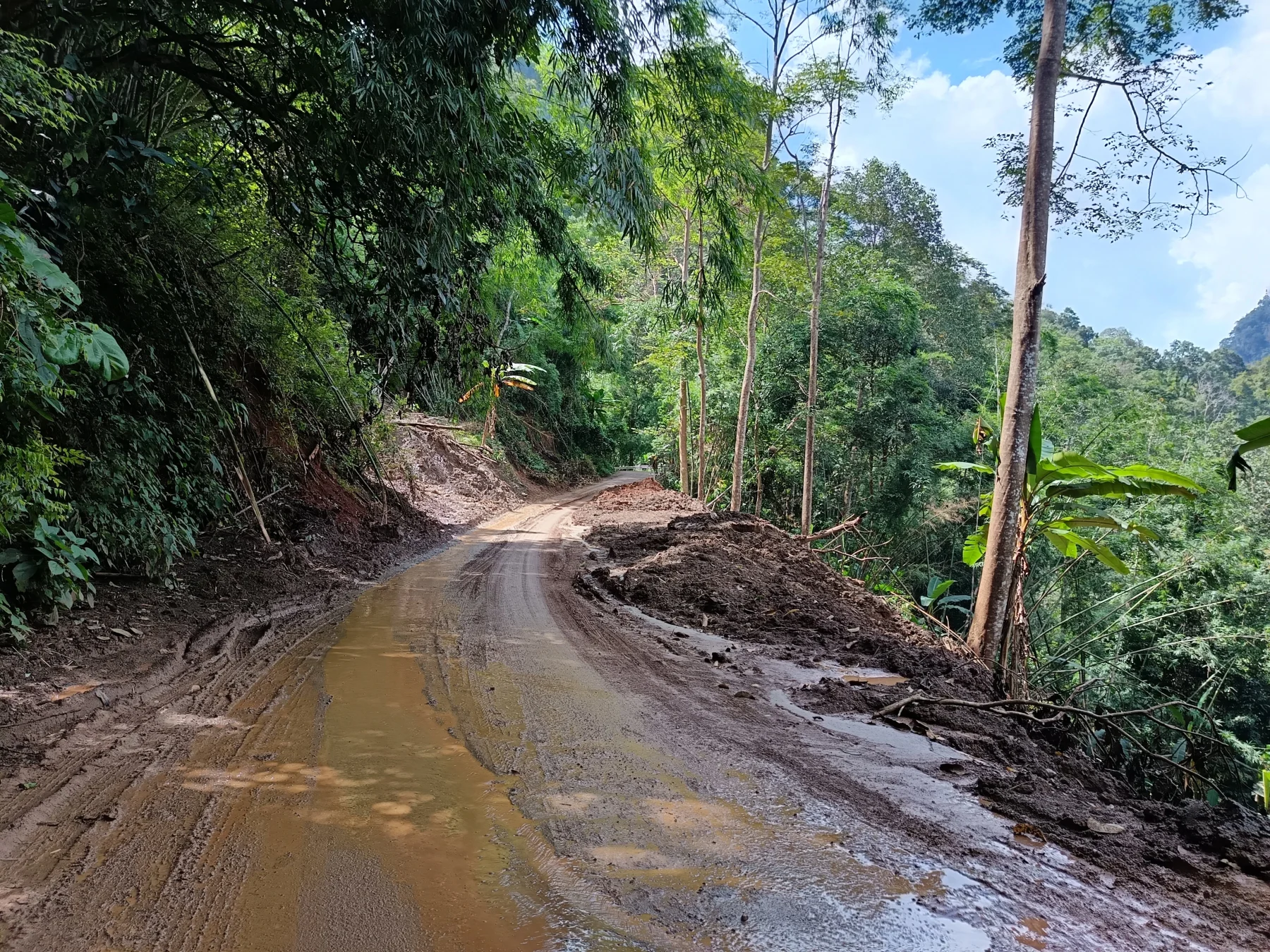
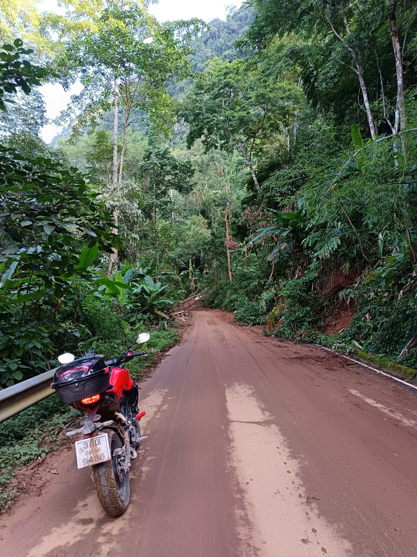
The 35 km stretch on R3024 from the checkpoint to Muang Khong is a serious mountain road that requires at least one hour each way. Driving in the dark (which begins around 5 PM during winter) is not advisable. In the wet season, landslides can make the road slippery or completely block it.
Optional Detours
From Muang Khong, the sealed road ends. For experienced dirt bikers, options include routes to Wiang Haeng, Sob Guay, or Huai Nam Dang National Park. These detours involve steep, rough dirt roads, and guides from local accommodations are recommended.
Conclusion
This ride offers a memorable journey to areas rarely visited by foreigners. In favorable conditions, the tour provides breathtaking scenery, authentic cultural experiences, and a ride you won’t forget.
Tips for Riders:
- Multi-day tours require a reliable 300–500 cc bike, though smaller bikes like the Honda CB300R are sufficient for solo riders.
- Automatic scooters can handle the main roads but may require extra time and caution.