The Fishing Lake Loop
 Hans Ostertag
left for contents
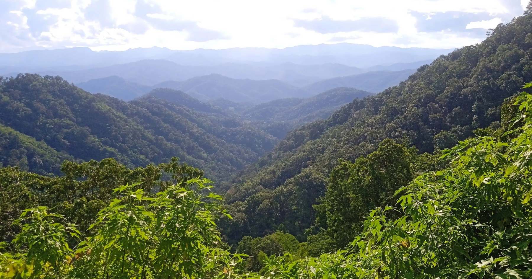
This variant of the Samoeng Loop offers a pleasant afternoon ride. Even if fishing isn’t your interest, the route provides scenic mountain roads and a relaxing escape. Starting from the loop’s southern leg and descending via a backroad to Mae Rim, the journey passes a tranquil reservoir—the “fishing lake.” This route experiences significantly less traffic than the northern leg (R1096). For those who want to visit all the famous tourist attractions, you can opt to ascend via R1096 instead. However, the southern leg (R1269) is undoubtedly the better and more enjoyable ride.
Tags:
- Mountain Road
- Nature
- Backroad
- Half-Day Tour
Tour Data:
- Route Numbers (per Google Maps): 108 – 1269 – 1349 – 4021 – 4017 – 4043 – 1096 – 107
- Road Condition: Mainly good asphalt roads; 10% good concrete road
- Distance: Approximately 110 km
- Driving Time (without stops): 3 hours
- Tour Map: Google Map Link
Starting Point:
The loop begins at the R108 junction just outside the moat at Chiang Mai’s South Gate.
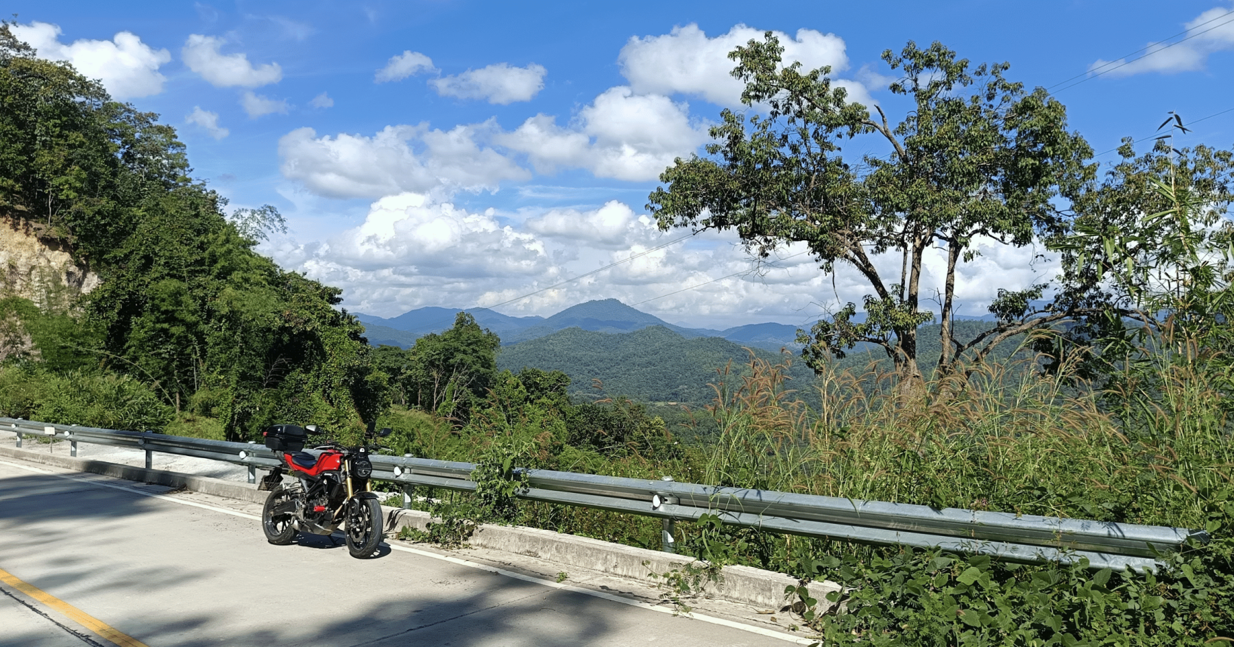
Head south on the busy R108 for about 8 km, then turn right onto R121 (signposted for Samoeng). Drive for 2.5 km to the next junction and go straight onto R1269, where traffic lightens, marking the start of the southern leg of the Samoeng Loop.
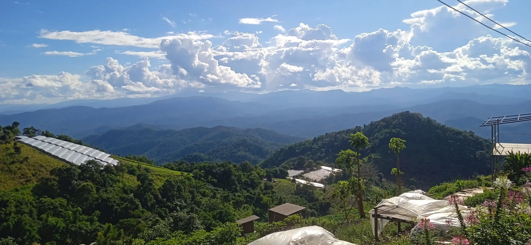
The road winds through villages for about 10 km before gradually climbing to Krista Doi Pass (830 meters ASL).
Suggested Stops Along R1269:
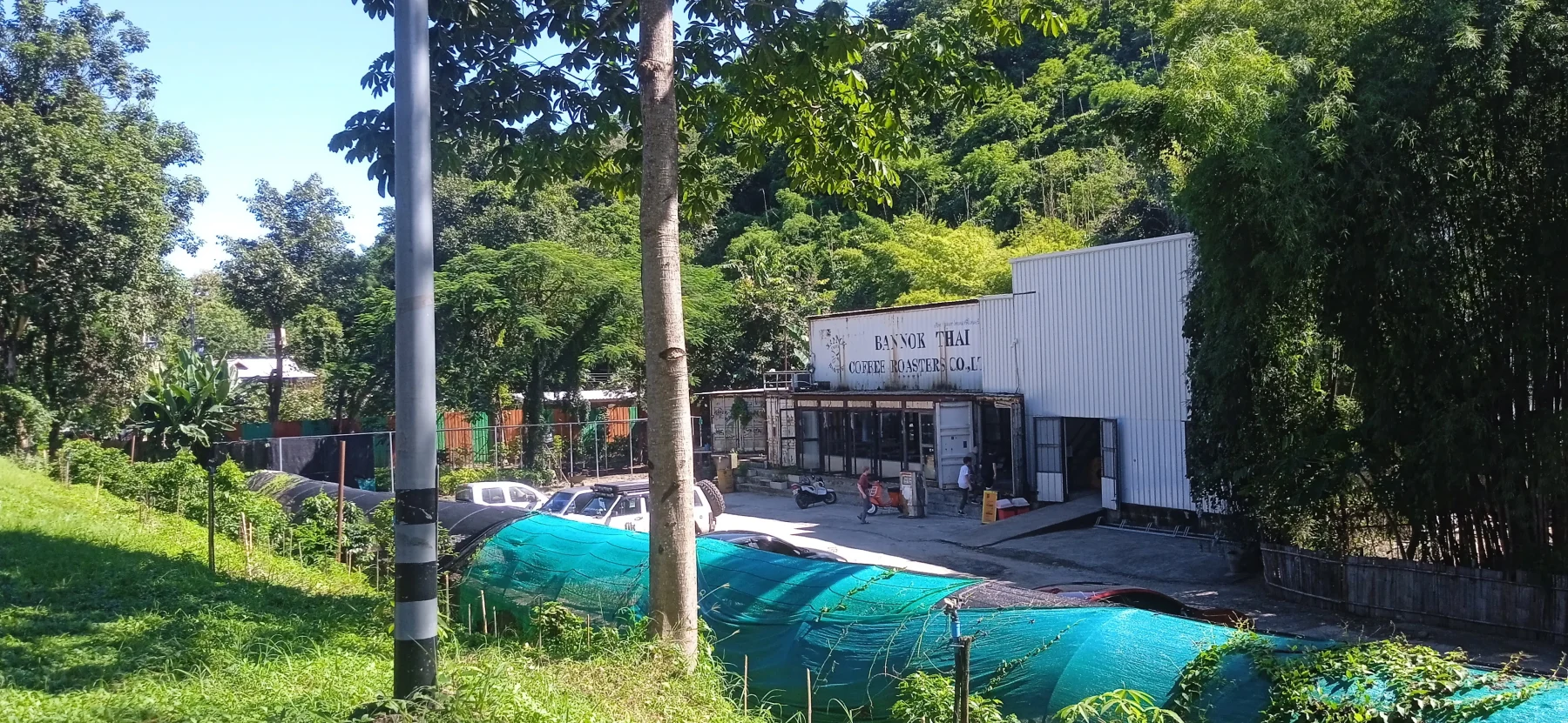
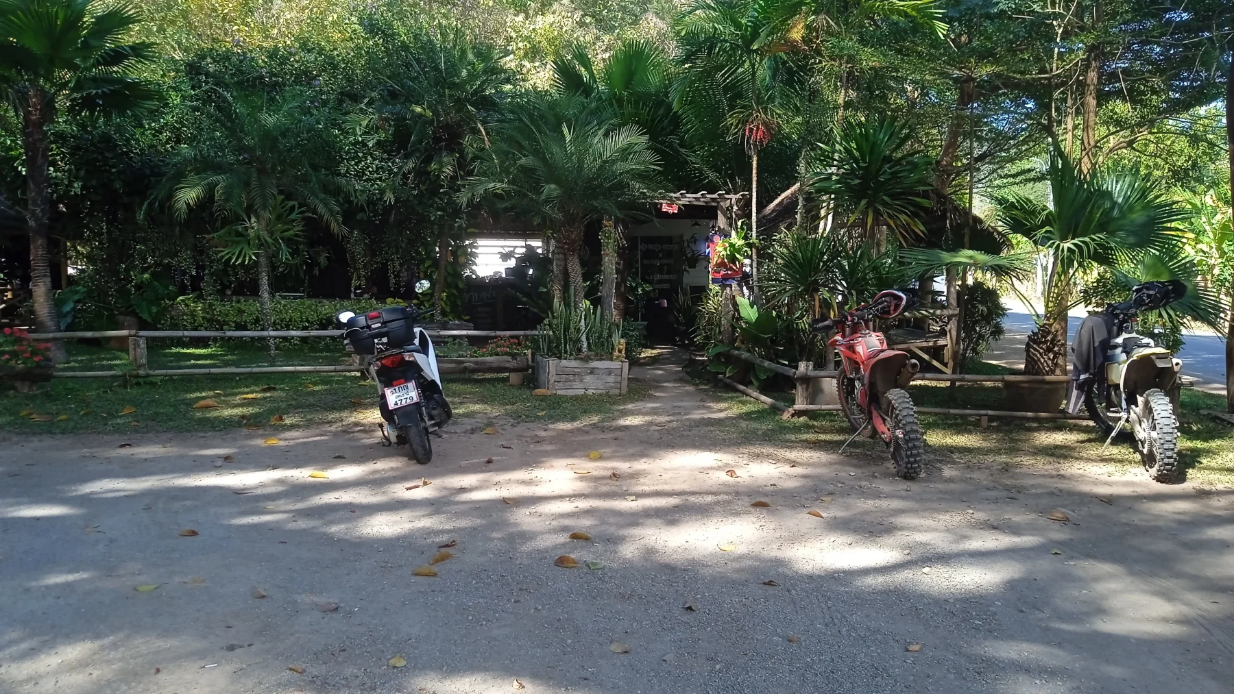
- Bannok Coffee Roasters Café: Despite its industrial exterior, this café boasts a shady garden by the river and serves excellent coffee.
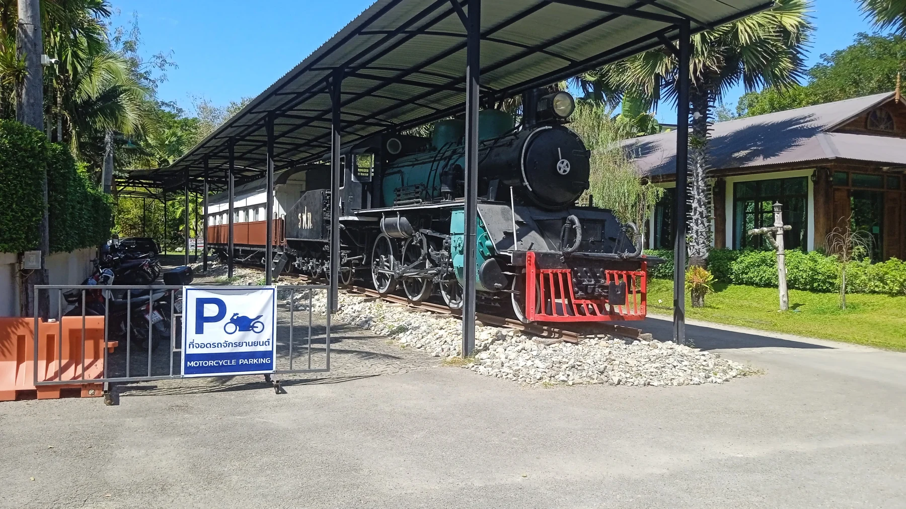
- Royal Train Resort: Enjoy a meal or drink in a vintage dining car. It’s also a great spot for an overnight stay outside the city.
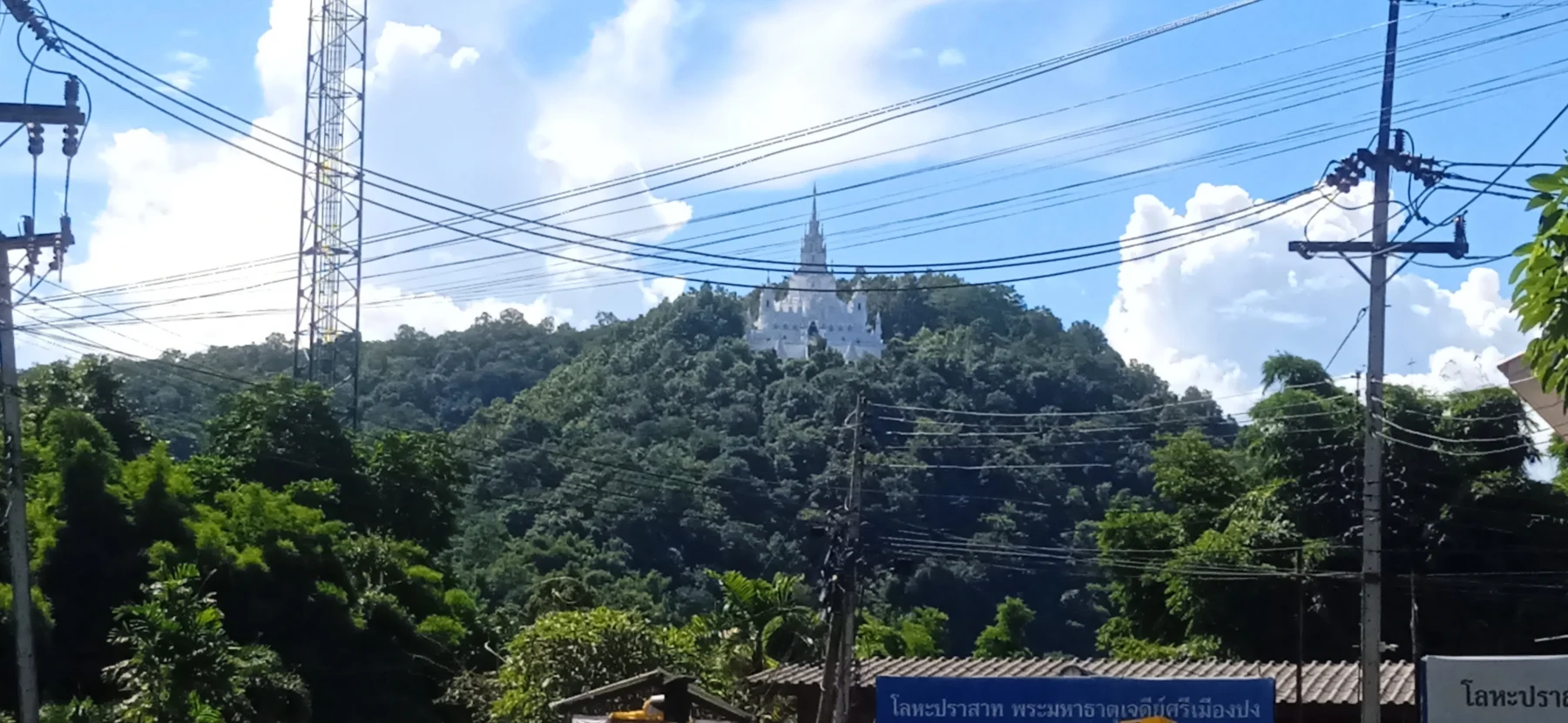
- Wat Ban Pok: A picturesque white pagoda, detailed in “The Op Khan Loop.”
- Mountain Corner Café: Offers the best views among several roadside coffee spots.
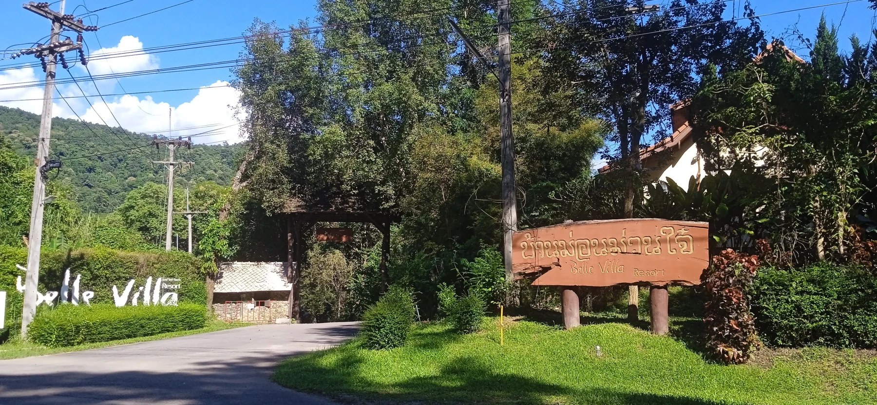
As you climb, you’ll pass luxury resorts like Belle Villa, renowned for its scenic location. At the mountain pass, the simple Seven Curves Restaurant marks the descent via steep switchbacks to Ban Mae Khanin Nuea, home to a charming temple.
Optional Activities:
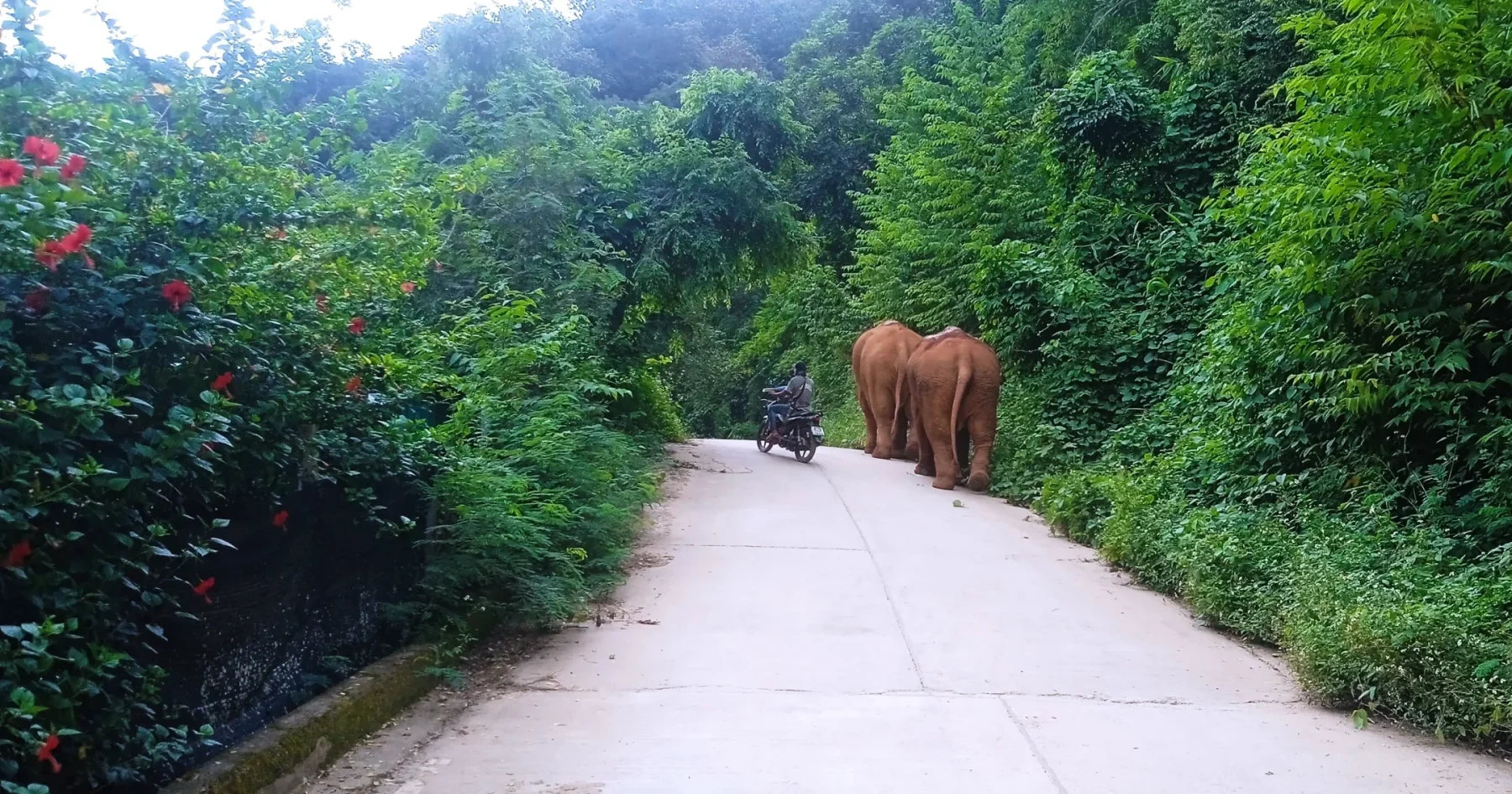
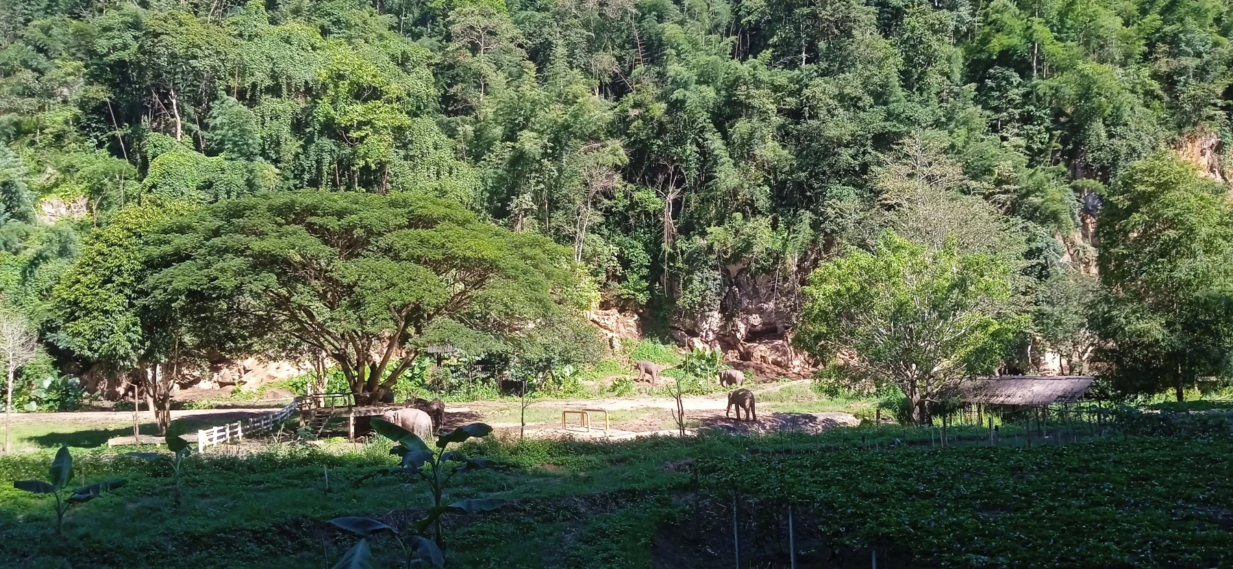
- Patara Elephant Conservation Camp: Accessible via a left turn after Ban Mae Khanin Nuea.
- Trail of the 100 River Crossings: Suitable for experienced dirt bike riders, this trail follows the Khanin River to Ob Khan National Park.
After Ban Mae Khanin Nuea, it’s a short 5 km climb to another mountain pass (1,000 meters ASL) followed by a 2 km descent to the R1269/1096 junction.
Detour Option:
Turn right onto a bumpy concrete road for a 3 km climb to the Hmong village of Ban Buak Chan. The Nuea Doi Camping site here offers the loop’s best viewpoint and cozy glamping tents for overnight stays (prepare for chilly nights).
At the R1269/1096 junction, go straight for about 5 km to Samoeng.
In Samoeng:
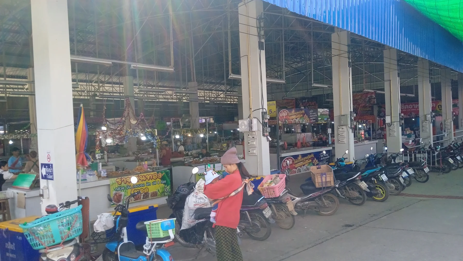
- Visit the local market.
- Stay at one of the resorts or homestays, such as Nai Khun Khao Resort or the upscale Lhongkhao Samoeng.
- Dine at Yentafo Yok Lo, a popular biker hangout and the starting point for many “extended Samoeng Loops.”
To reach Yentafo Yok Lo, turn right at the market onto R1349 and drive 2 km.
Continuing the Loop:
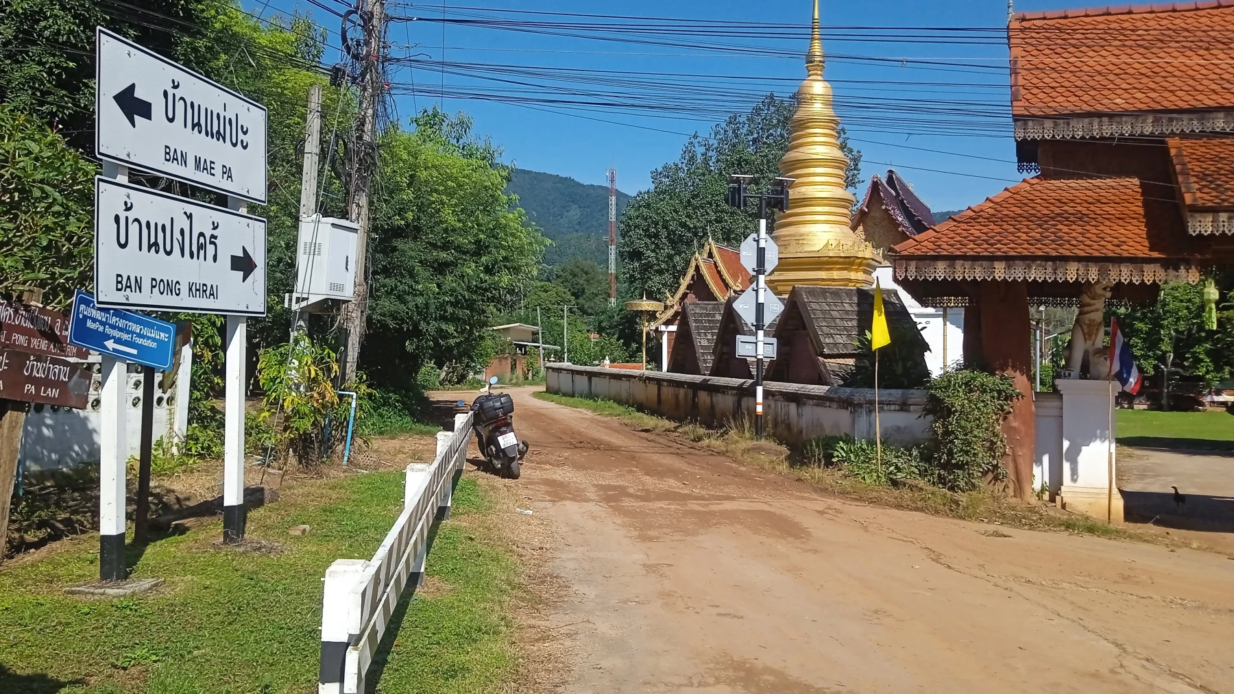
From the restaurant, take the right fork onto R4021. This scenic road winds up the Samoeng River valley for 9 km before turning east to follow the Pok River valley for another 5 km to Ban Pok village.
At Wat Ban Pok, a small temple, continue straight on R4021. An unnamed road to the right leads to Pongkhrai (detailed in “The Pongkhrai Loop”).
Cross a hill to Ban Mae Pa (4 km). Just before the village, take a sharp right onto R4017. If you enter the village, you’ve missed the turn.
Follow the concrete road along the Tong River for another 4 km to reach the Huai Tong Reservoir—the fishing lake.
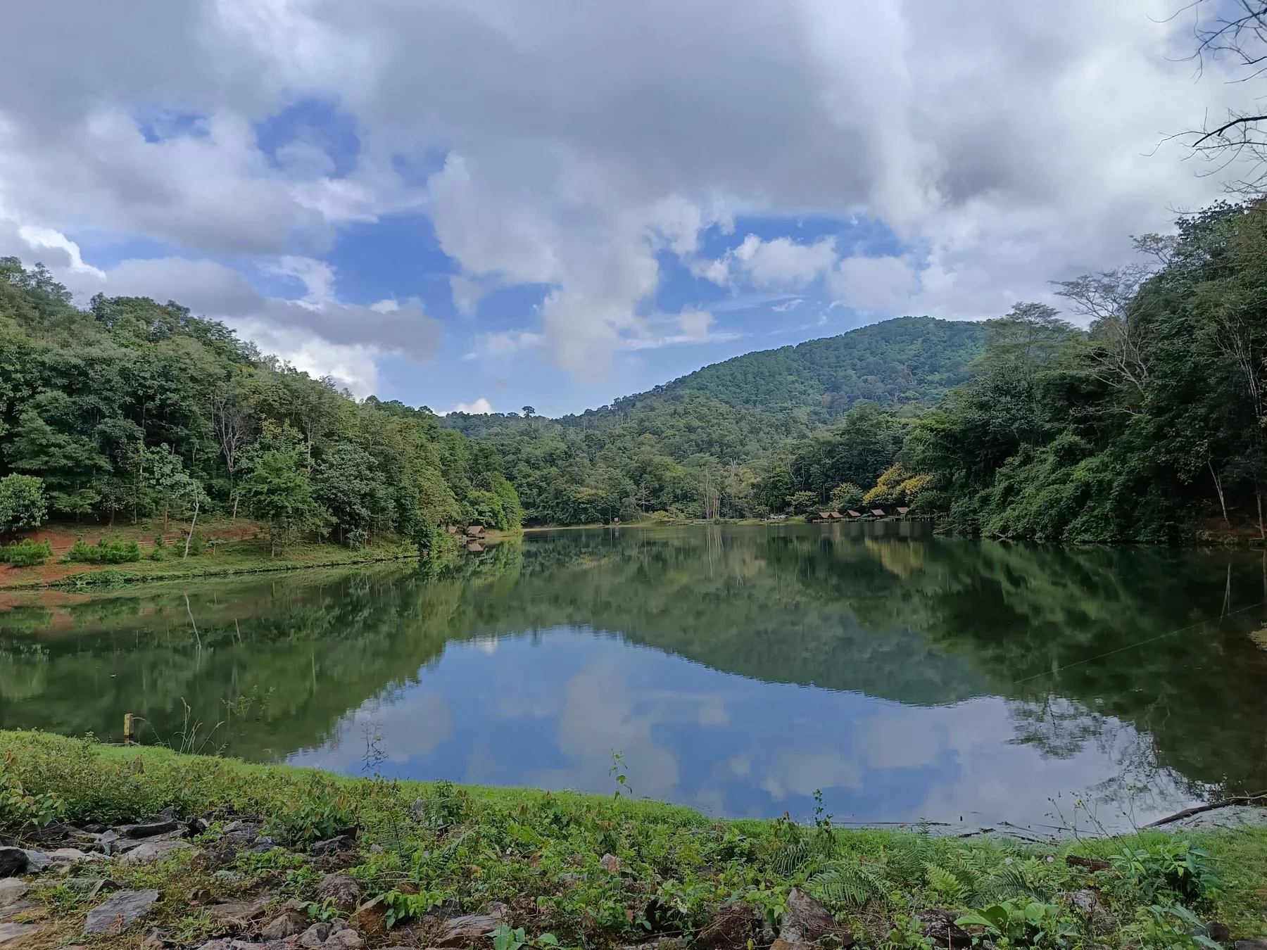
At the Reservoir:
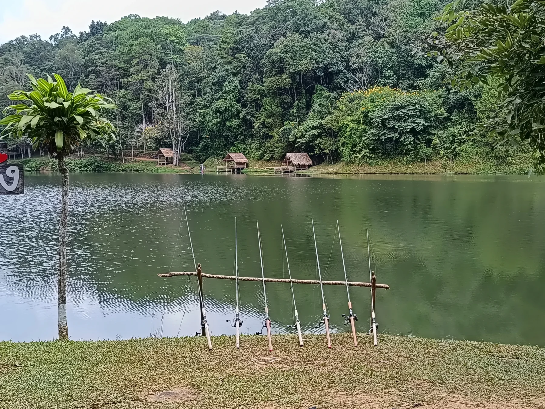
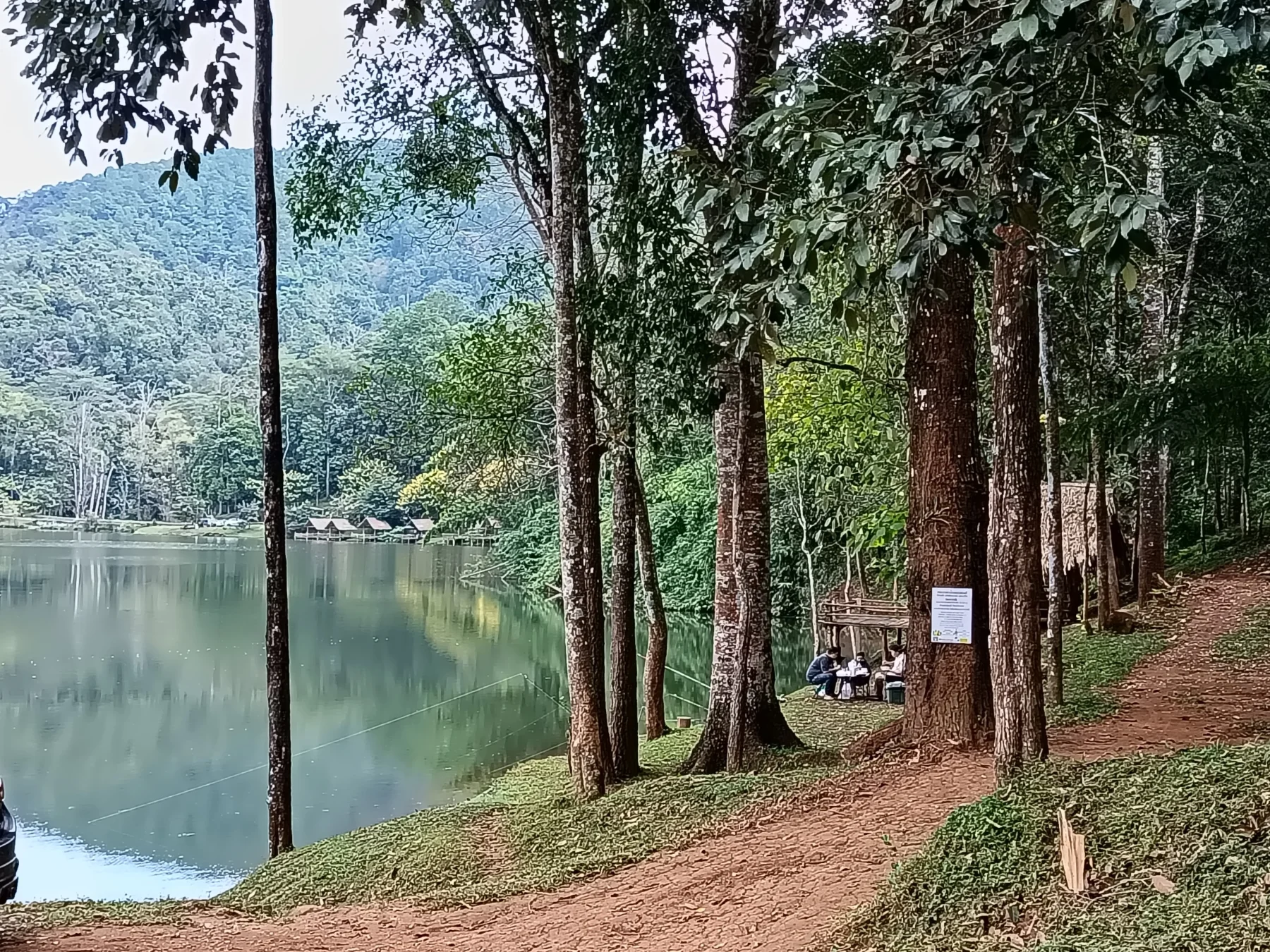
Located at 1,000 meters ASL and surrounded by forest, this is an ideal spot for a relaxing afternoon, particularly during the hot season. It’s popular with locals, who often gather in groups with food and drinks. This is a great place to meet and interact with Thai people.
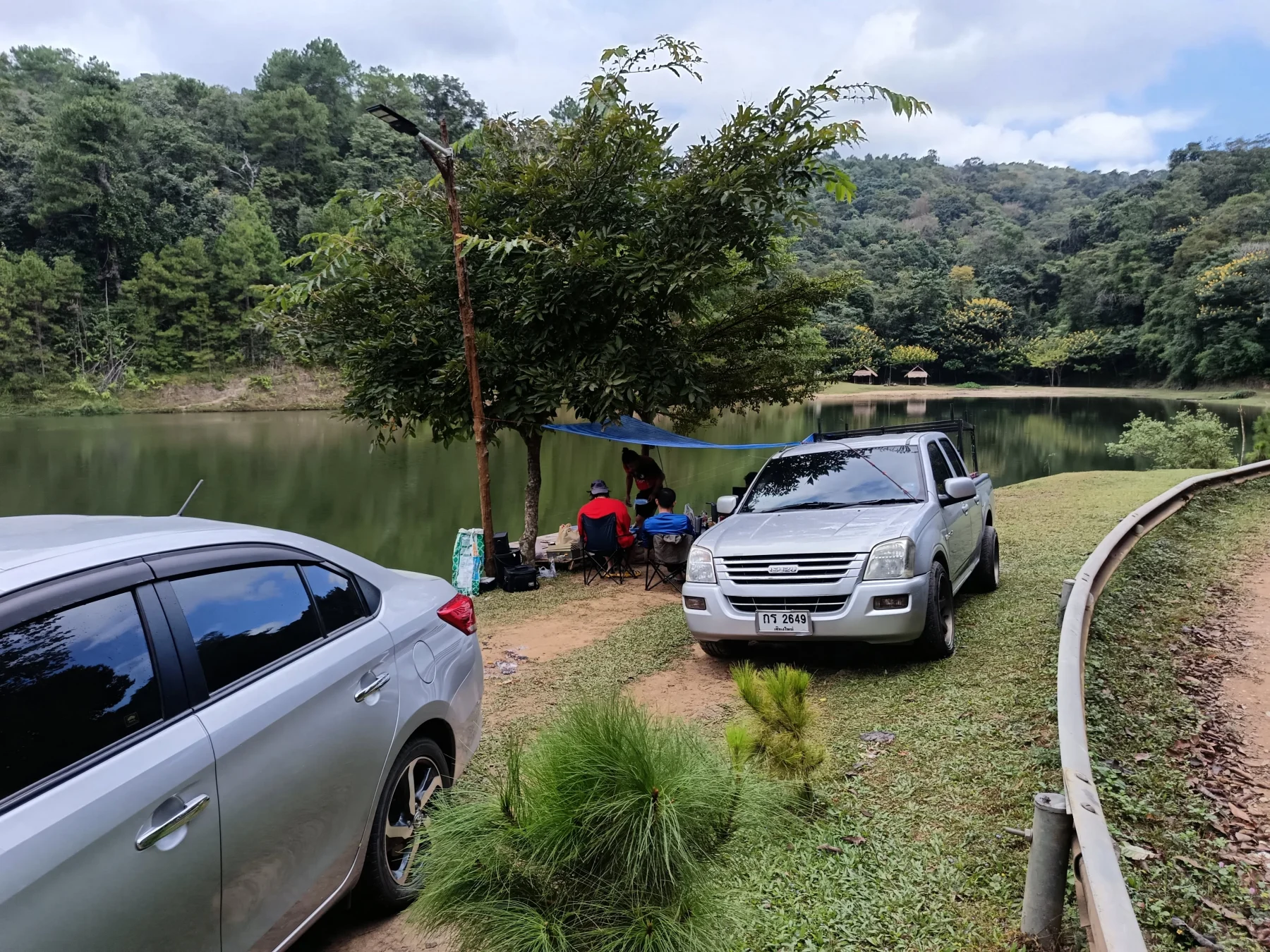
The reservoir has a small, simple restaurant where you can rent fishing equipment and tents for an overnight stay. The facility is open on weekends and holidays; it’s best to confirm availability beforehand.
After enjoying the lake, drive 5 km uphill to Ban Mae Khi.
At Ban Mae Khi, turn right onto R4051, which leads to Mon Jam, the popular glamping hotspot (detailed in “The Mon Jam Loop”).
From Ban Mae Khi, follow the scenic and winding R4043 for 15 km to R1096 (here), the main road to Samoeng.
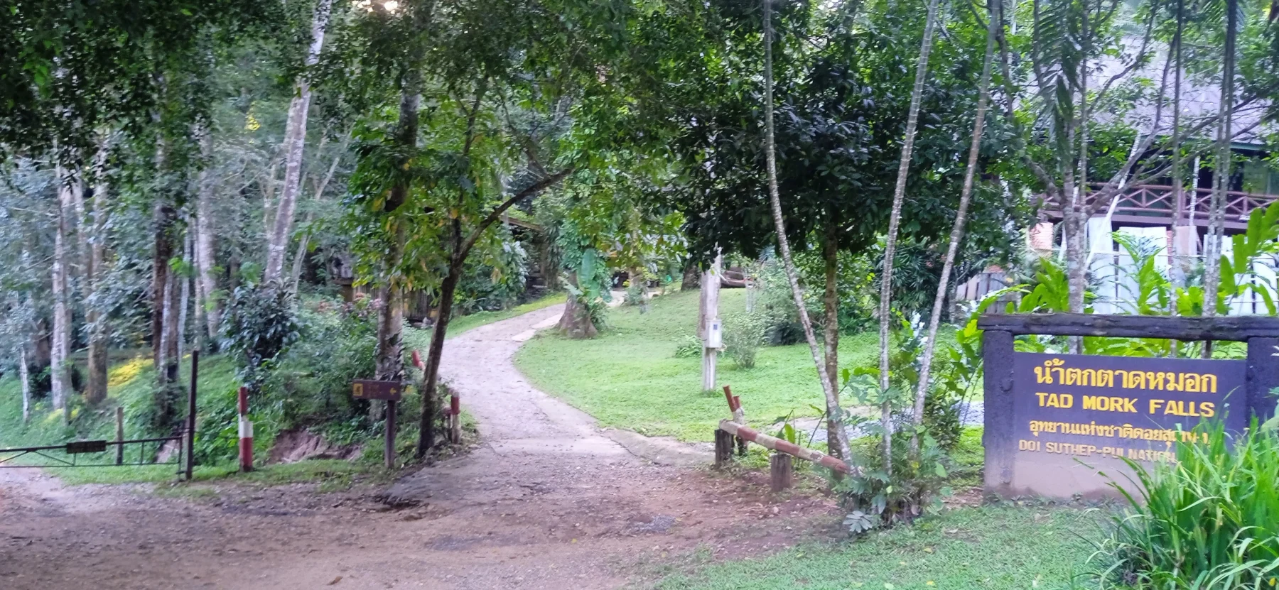
Suggested Stop:
- Tad Mork Waterfall: Worth a visit if you have time.
At R1096, turn left and drive another 4 km to the R1096/107 junction. Turn right onto R107, and after 15 km of busier traffic, you’ll arrive back in Chiang Mai at Chang Puak (North) Gate.